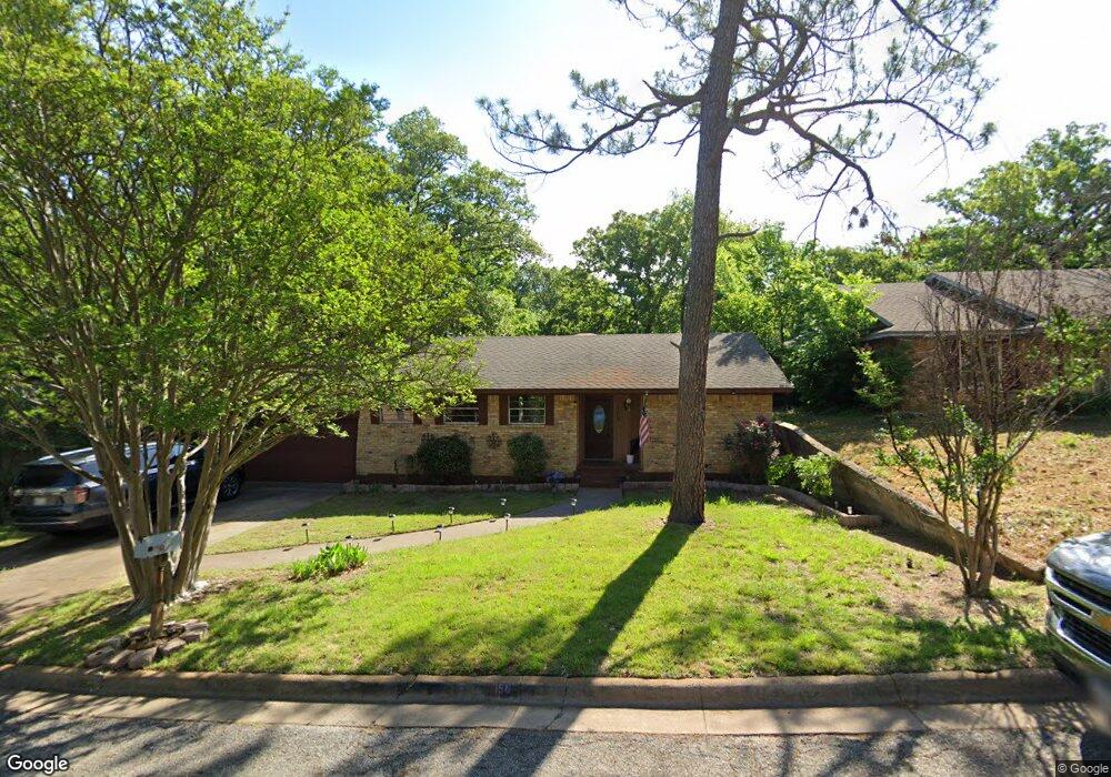
156 Circle Dr Denison, TX 75021
Estimated Value: $206,963 - $227,000
3
Beds
2
Baths
1,490
Sq Ft
$146/Sq Ft
Est. Value
About This Home
This home is located at 156 Circle Dr, Denison, TX 75021 and is currently estimated at $216,982, approximately $145 per square foot. 156 Circle Dr is a home located in Grayson County with nearby schools including Lamar Elementary School, Scott Middle School, and Denison High School.
Ownership History
Date
Name
Owned For
Owner Type
Purchase Details
Closed on
Jun 26, 2019
Sold by
Tillman Florence Ann
Bought by
Tillman Theresa Diane and Tillman Anthony Wayne
Current Estimated Value
Purchase Details
Closed on
Nov 17, 2005
Sold by
Isaacs Kay A
Bought by
Dophied Theresa D
Home Financials for this Owner
Home Financials are based on the most recent Mortgage that was taken out on this home.
Original Mortgage
$92,700
Outstanding Balance
$50,792
Interest Rate
6.04%
Mortgage Type
Fannie Mae Freddie Mac
Estimated Equity
$166,190
Create a Home Valuation Report for This Property
The Home Valuation Report is an in-depth analysis detailing your home's value as well as a comparison with similar homes in the area
Home Values in the Area
Average Home Value in this Area
Purchase History
| Date | Buyer | Sale Price | Title Company |
|---|---|---|---|
| Tillman Theresa Diane | -- | None Available | |
| Dophied Theresa D | -- | -- |
Source: Public Records
Mortgage History
| Date | Status | Borrower | Loan Amount |
|---|---|---|---|
| Open | Dophied Theresa D | $92,700 |
Source: Public Records
Tax History Compared to Growth
Tax History
| Year | Tax Paid | Tax Assessment Tax Assessment Total Assessment is a certain percentage of the fair market value that is determined by local assessors to be the total taxable value of land and additions on the property. | Land | Improvement |
|---|---|---|---|---|
| 2025 | $2,864 | $172,696 | $41,496 | $131,200 |
| 2024 | $4,133 | $177,874 | $37,704 | $140,170 |
| 2023 | $2,400 | $162,247 | $0 | $0 |
| 2022 | $3,504 | $147,497 | $0 | $0 |
| 2021 | $3,329 | $131,994 | $18,635 | $113,359 |
| 2020 | $3,321 | $125,883 | $18,635 | $107,248 |
| 2019 | $3,376 | $122,695 | $12,785 | $109,910 |
| 2018 | $3,263 | $117,625 | $12,785 | $104,840 |
| 2017 | $3,107 | $123,544 | $12,785 | $110,759 |
| 2016 | $2,825 | $122,347 | $12,785 | $109,562 |
| 2015 | $2,125 | $95,332 | $10,618 | $84,714 |
| 2014 | $2,051 | $83,452 | $10,618 | $72,834 |
Source: Public Records
Map
Nearby Homes
- 153 Circle Dr
- 1905 S Lamar Ave
- 1903 S Lamar Ave
- 1901 S Lamar Ave
- 2000 S Fannin Ave
- 1927 S Fannin Ave
- 430 W Coffin St
- 508 W Florence St
- 505 W Ford St
- 509 W Coffin St
- 513 W Coffin St
- 516 W Florence St
- 1414 S Houston Ave
- 614 Rice St
- 517 W Bullock St
- 616 & 618 Rice St
- 614 W Collins St
- 1506 S Travis St
- 607 W Baker St
- 611 W Baker St