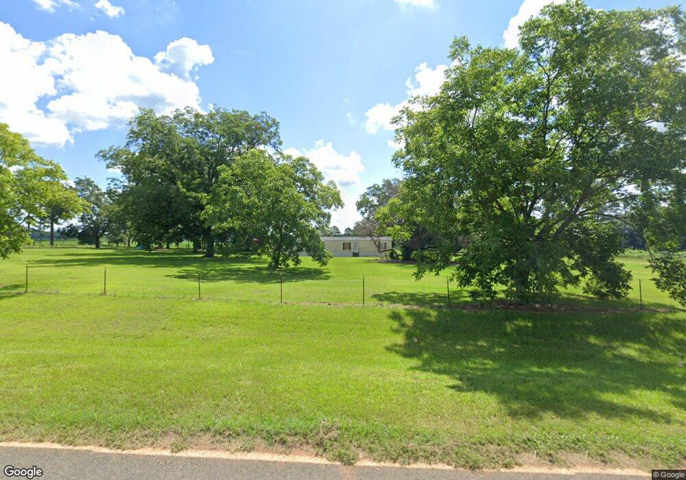
156 Claude Fletcher Rd Dawson, GA 39842
Estimated Value: $210,000 - $1,275,439
3
Beds
1
Bath
1,636
Sq Ft
$367/Sq Ft
Est. Value
About This Home
This home is located at 156 Claude Fletcher Rd, Dawson, GA 39842 and is currently estimated at $601,146, approximately $367 per square foot. 156 Claude Fletcher Rd is a home located in Terrell County with nearby schools including Cooper-Carver Elementary School, Terrell Middle School, and Terrell High School.
Ownership History
Date
Name
Owned For
Owner Type
Purchase Details
Closed on
May 12, 2025
Sold by
Rcn Farmland Holdings Llc
Bought by
Charles H Jones Family Foundation Inc
Current Estimated Value
Purchase Details
Closed on
Feb 21, 2007
Sold by
Fletcher Edwin Claude
Bought by
Rcn Holdings Llc
Purchase Details
Closed on
Feb 13, 2007
Sold by
Fletcher Farms Llc
Bought by
Fletcher Edwin Claude
Purchase Details
Closed on
Oct 21, 2004
Sold by
Fletcher Grace
Bought by
Fletcher Edwin Claude
Purchase Details
Closed on
Apr 1, 1996
Sold by
Claude Fletcher Est
Bought by
Fletcher Grace
Create a Home Valuation Report for This Property
The Home Valuation Report is an in-depth analysis detailing your home's value as well as a comparison with similar homes in the area
Home Values in the Area
Average Home Value in this Area
Purchase History
| Date | Buyer | Sale Price | Title Company |
|---|---|---|---|
| Charles H Jones Family Foundation Inc | $3,200,000 | -- | |
| Rcn Holdings Llc | $3,004,062 | -- | |
| Fletcher Edwin Claude | -- | -- | |
| Fletcher Edwin Claude | -- | -- | |
| Fletcher Grace | -- | -- |
Source: Public Records
Tax History Compared to Growth
Tax History
| Year | Tax Paid | Tax Assessment Tax Assessment Total Assessment is a certain percentage of the fair market value that is determined by local assessors to be the total taxable value of land and additions on the property. | Land | Improvement |
|---|---|---|---|---|
| 2024 | $3,677 | $179,105 | $141,451 | $37,654 |
| 2023 | $3,528 | $182,957 | $141,451 | $41,506 |
| 2022 | $3,464 | $182,957 | $141,451 | $41,506 |
| 2021 | $3,402 | $182,957 | $141,451 | $41,506 |
| 2020 | $3,342 | $182,957 | $141,451 | $41,506 |
| 2019 | $3,177 | $182,957 | $141,451 | $41,506 |
| 2018 | $3,123 | $182,957 | $141,451 | $41,506 |
| 2017 | $5,486 | $182,957 | $141,451 | $41,506 |
| 2016 | $3,018 | $182,957 | $141,451 | $41,506 |
| 2015 | -- | $182,957 | $141,451 | $41,506 |
| 2014 | -- | $182,957 | $141,451 | $41,506 |
| 2013 | -- | $182,957 | $141,450 | $41,506 |
Source: Public Records
Map
Nearby Homes
- 4560 Graves Hwy
- 13XX Graves Hwy
- 361/552 NW Tenth Ave
- 448 Henry Mitchell Dr NE
- 229 7th Ave NW
- 527 Orange St NE
- 434 Foster Ave
- 904 Ash St NE
- 1853 Warner Rd
- 411 E Lee St
- 0 Cox Rd
- 513 College St NE
- 707 Johnson St SE
- 0 Cooper Dr NE Unit 7597500
- 0 Cooper Dr NE Unit 10543060
- 828 Cooper Dr NE
- 1240 Askew Dr NE
- 1258 Askew Dr NE
- 439 Cherry St SE
- 1264 Ball Park Ave NE