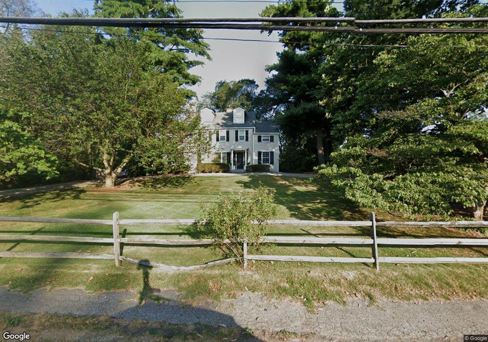
156 Compo Rd S Westport, CT 06880
Westport Village NeighborhoodEstimated Value: $1,516,319 - $2,058,000
3
Beds
4
Baths
2,576
Sq Ft
$703/Sq Ft
Est. Value
About This Home
This home is located at 156 Compo Rd S, Westport, CT 06880 and is currently estimated at $1,812,080, approximately $703 per square foot. 156 Compo Rd S is a home located in Fairfield County with nearby schools including Saugatuck Elementary School, Bedford Middle School, and Staples High School.
Ownership History
Date
Name
Owned For
Owner Type
Purchase Details
Closed on
Aug 14, 2018
Sold by
Peter B Strople
Bought by
Snyder Alexander
Current Estimated Value
Home Financials for this Owner
Home Financials are based on the most recent Mortgage that was taken out on this home.
Original Mortgage
$483,973
Outstanding Balance
$421,137
Interest Rate
4.59%
Estimated Equity
$1,390,943
Purchase Details
Closed on
Apr 14, 1995
Sold by
Dennis Christopher and Dennis Lynda
Bought by
Flood John and Flood Rebecca
Purchase Details
Closed on
Aug 31, 1990
Sold by
Augerot William
Bought by
Dennis Christopher
Home Financials for this Owner
Home Financials are based on the most recent Mortgage that was taken out on this home.
Original Mortgage
$310,000
Interest Rate
9.85%
Mortgage Type
Purchase Money Mortgage
Create a Home Valuation Report for This Property
The Home Valuation Report is an in-depth analysis detailing your home's value as well as a comparison with similar homes in the area
Home Values in the Area
Average Home Value in this Area
Purchase History
| Date | Buyer | Sale Price | Title Company |
|---|---|---|---|
| Snyder Alexander | -- | -- | |
| Flood John | $480,000 | -- | |
| Flood John | $480,000 | -- | |
| Dennis Christopher | $390,000 | -- |
Source: Public Records
Mortgage History
| Date | Status | Borrower | Loan Amount |
|---|---|---|---|
| Open | Dennis Christopher | $483,973 | |
| Closed | Dennis Christopher | -- | |
| Previous Owner | Dennis Christopher | $308,000 | |
| Previous Owner | Dennis Christopher | $310,000 |
Source: Public Records
Tax History Compared to Growth
Tax History
| Year | Tax Paid | Tax Assessment Tax Assessment Total Assessment is a certain percentage of the fair market value that is determined by local assessors to be the total taxable value of land and additions on the property. | Land | Improvement |
|---|---|---|---|---|
| 2025 | $11,301 | $599,200 | $336,000 | $263,200 |
| 2024 | $11,157 | $599,200 | $336,000 | $263,200 |
| 2023 | $10,995 | $599,200 | $336,000 | $263,200 |
| 2022 | $10,828 | $599,200 | $336,000 | $263,200 |
| 2021 | $10,828 | $599,200 | $336,000 | $263,200 |
| 2020 | $9,424 | $564,000 | $354,900 | $209,100 |
| 2019 | $9,509 | $564,000 | $354,900 | $209,100 |
| 2018 | $9,509 | $564,000 | $354,900 | $209,100 |
| 2017 | $9,509 | $564,000 | $354,900 | $209,100 |
| 2016 | $9,509 | $564,000 | $354,900 | $209,100 |
| 2015 | $9,034 | $499,400 | $261,200 | $238,200 |
| 2014 | $8,959 | $499,400 | $261,200 | $238,200 |
Source: Public Records
Map
Nearby Homes
- 5 Franklin Ave
- 171 & 169 Compo Rd S
- 3 Laurel Ln
- 23 Bridge St
- 102 Compo Rd S
- 6 Over Rock Ln
- 5A Sunrise Rd
- 202 Bradley Ln Unit 202
- 26 Treadwell Ave
- 33 Burnham Hill
- 39 Compo Pkwy
- 42 Kings Hwy S
- 11 Manitou Ct
- 6 Stony Point Rd
- 109 Greens Farms Rd
- 21 Wright St
- 24 Edgemarth Hill Rd
- 61 Edgewater Commons Ln
- 11 Edgewater Hillside
- 123 Greens Farms Rd
- 158 Compo Rd S
- 2 Farmer Rd
- 157 Compo Rd S
- 151 Compo Rd S
- 3 Farmer Rd
- 150 Compo Rd S
- ONE Mortar Rock Rd
- 2 Ivanhoe Ln
- 153 Compo Rd S
- 4 Ivanhoe Ln
- 155B Compo Rd S
- 155B Compo Rd S
- 155B Compo Rd S Unit 1
- 155B Compo Rd S Unit 2
- 155B Compo Rd S Unit B
- 149 Compo Rd S
- 148 Compo Rd S
- 19 Sandhopper Trail
- 15 Sandhopper Trail
- 161 Compo Rd S