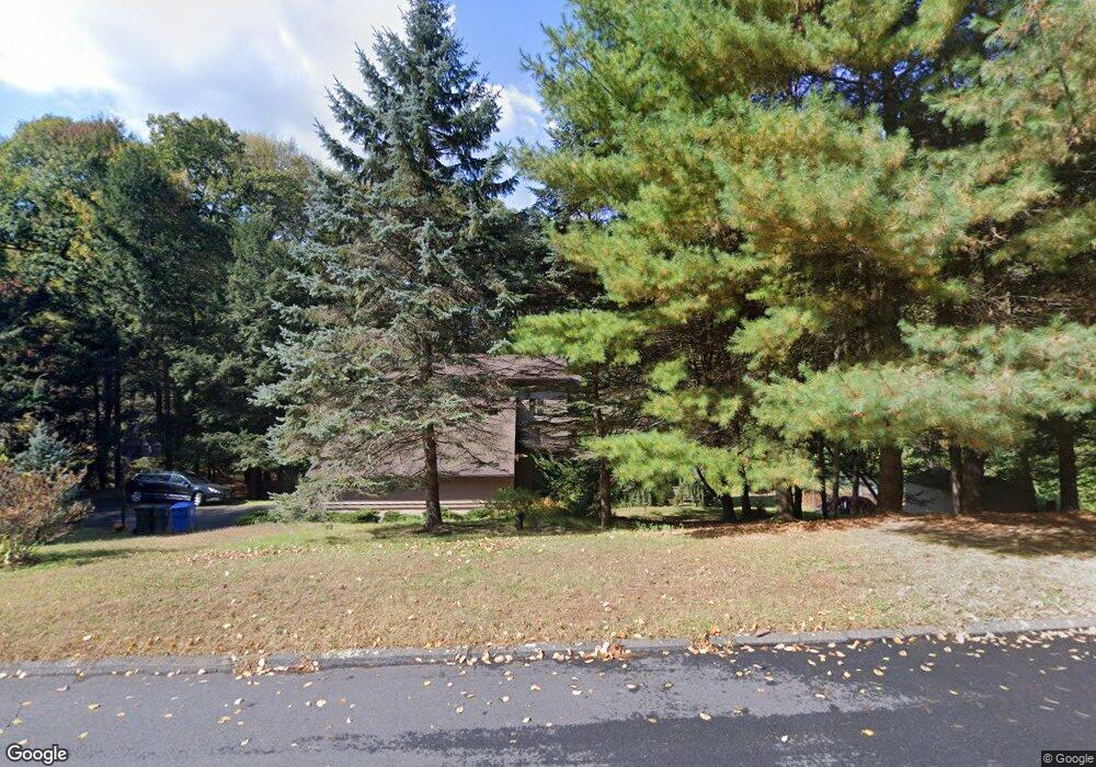
156 Deer Run Burlington, CT 06013
Estimated Value: $387,000 - $734,000
4
Beds
3
Baths
2,874
Sq Ft
$206/Sq Ft
Est. Value
About This Home
This home is located at 156 Deer Run, Burlington, CT 06013 and is currently estimated at $592,618, approximately $206 per square foot. 156 Deer Run is a home located in Hartford County with nearby schools including Lake Garda Elementary School, Har-Bur Middle School, and Lewis S. Mills High School.
Ownership History
Date
Name
Owned For
Owner Type
Purchase Details
Closed on
May 15, 1995
Sold by
Casale Eileen H
Bought by
Depaulo Shirley W
Current Estimated Value
Purchase Details
Closed on
Jun 16, 1992
Sold by
Valley Homes Of Ct
Bought by
Szymanski Richard and Szymanski Grace
Purchase Details
Closed on
Mar 20, 1987
Sold by
Fanelli John M
Bought by
Whitmore Robert T
Create a Home Valuation Report for This Property
The Home Valuation Report is an in-depth analysis detailing your home's value as well as a comparison with similar homes in the area
Home Values in the Area
Average Home Value in this Area
Purchase History
| Date | Buyer | Sale Price | Title Company |
|---|---|---|---|
| Depaulo Shirley W | $130,000 | -- | |
| Depaulo Shirley W | $130,000 | -- | |
| Szymanski Richard | $172,500 | -- | |
| Whitmore Robert T | $123,000 | -- |
Source: Public Records
Mortgage History
| Date | Status | Borrower | Loan Amount |
|---|---|---|---|
| Open | Whitmore Robert T | $48,800 | |
| Open | Whitmore Robert T | $157,300 |
Source: Public Records
Tax History
| Year | Tax Paid | Tax Assessment Tax Assessment Total Assessment is a certain percentage of the fair market value that is determined by local assessors to be the total taxable value of land and additions on the property. | Land | Improvement |
|---|---|---|---|---|
| 2025 | $9,025 | $339,290 | $80,850 | $258,440 |
| 2024 | $8,788 | $339,290 | $80,850 | $258,440 |
| 2023 | $7,977 | $247,730 | $89,460 | $158,270 |
| 2022 | $8,101 | $247,730 | $89,460 | $158,270 |
| 2021 | $8,274 | $247,730 | $89,460 | $158,270 |
| 2020 | $8,249 | $247,730 | $89,460 | $158,270 |
| 2019 | $8,175 | $247,730 | $89,460 | $158,270 |
| 2018 | $8,190 | $252,000 | $93,940 | $158,060 |
| 2017 | $8,064 | $252,000 | $93,940 | $158,060 |
| 2016 | $7,963 | $252,000 | $93,940 | $158,060 |
| 2015 | $7,837 | $252,000 | $93,940 | $158,060 |
| 2014 | $7,522 | $252,000 | $93,940 | $158,060 |
Source: Public Records
Map
Nearby Homes
- 25 Punch Brook Rd
- 36 Barnes Hill Rd
- 9A Alice Dr
- 0 Spielman Hwy
- 114 Daniel Trace
- 2 Ventres Way
- 5 W Woods Rd
- 28 Sepous Rd
- 361D George Washington Turnpike
- Map Block # 1-04-8 ( George Washington Turnpike
- 25 Fenwick Dr
- 358 George Washington Turnpike
- 26 Berkshire Crossing
- 767 George Washington Turnpike
- 373 Collinsville Rd
- 39 Jerome Ave
- 39 High Ridge Hollow
- 52 Wood Creek Rd
- 51 Westland Rd
- Lots 1-3 Verville Rd
Your Personal Tour Guide
Ask me questions while you tour the home.