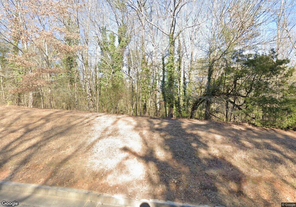
156 Deland Rd Kingston, GA 30145
Estimated Value: $162,747 - $309,000
--
Bed
--
Bath
1,632
Sq Ft
$149/Sq Ft
Est. Value
About This Home
This home is located at 156 Deland Rd, Kingston, GA 30145 and is currently estimated at $242,437, approximately $148 per square foot. 156 Deland Rd is a home with nearby schools including Model Middle School and Model High School.
Ownership History
Date
Name
Owned For
Owner Type
Purchase Details
Closed on
Jan 6, 2010
Bought by
P and R
Current Estimated Value
Purchase Details
Closed on
Oct 15, 1998
Sold by
Stewart Marcia R and Stewart Donald F
Bought by
Floyd County School District
Purchase Details
Closed on
Feb 28, 1989
Sold by
Risdon Marcia R Stewart Marcia R Risd
Bought by
Stewart Marcia R and Stewart Donald F
Purchase Details
Closed on
Sep 13, 1979
Sold by
Cosper Willis
Bought by
Risdon Marcia R Stewart Marcia R Ri
Purchase Details
Closed on
Jun 12, 1979
Sold by
Barker Edna L
Bought by
Cosper Willis
Purchase Details
Closed on
Jan 26, 1974
Sold by
Barker Barker R and Barker Edna L
Bought by
Barker Edna L
Purchase Details
Closed on
Jun 26, 1968
Sold by
Gentry Annie Johnston
Bought by
Barker Barker R and Barker Edna L
Purchase Details
Closed on
Apr 8, 1968
Bought by
Gentry Annie Johnston
Create a Home Valuation Report for This Property
The Home Valuation Report is an in-depth analysis detailing your home's value as well as a comparison with similar homes in the area
Home Values in the Area
Average Home Value in this Area
Purchase History
| Date | Buyer | Sale Price | Title Company |
|---|---|---|---|
| P | -- | -- | |
| Floyd County School District | $125,000 | -- | |
| Stewart Marcia R | -- | -- | |
| Risdon Marcia R Stewart Marcia R Ri | $25,500 | -- | |
| Cosper Willis | $4,300 | -- | |
| Barker Edna L | -- | -- | |
| Barker Barker R | $1,600 | -- | |
| Gentry Annie Johnston | -- | -- |
Source: Public Records
Tax History Compared to Growth
Tax History
| Year | Tax Paid | Tax Assessment Tax Assessment Total Assessment is a certain percentage of the fair market value that is determined by local assessors to be the total taxable value of land and additions on the property. | Land | Improvement |
|---|---|---|---|---|
| 2024 | -- | $44,041 | $20,547 | $23,494 |
| 2023 | $962 | $41,333 | $18,679 | $22,654 |
| 2022 | $962 | $32,428 | $15,530 | $16,898 |
| 2021 | $848 | $28,094 | $14,074 | $14,020 |
| 2020 | $765 | $25,420 | $12,239 | $13,181 |
| 2019 | $740 | $24,581 | $12,239 | $12,342 |
| 2018 | $697 | $23,161 | $11,658 | $11,503 |
| 2017 | $654 | $21,390 | $10,795 | $10,595 |
| 2016 | -- | $21,008 | $10,760 | $10,248 |
| 2015 | -- | $21,008 | $10,760 | $10,248 |
| 2014 | -- | $21,008 | $10,760 | $10,248 |
Source: Public Records
Map
Nearby Homes
- 1849 Morrison Camp Ground Rd NE
- 127 Branson Rd SE
- 12 Winterberry Ln SE
- 158 Sproull Rd SE
- 96 Collins Rd NE
- 0 Mountain Creek Dr SE Unit 10436191
- 30 Mountain Creek Dr SE
- 818 Morrison Camp Ground Rd NE
- 7 Trimble Way SE
- 567 Fred Kelley Rd NE
- 291 Youngs Mill Rd
- 406 Fred Kelly Rd NE
- 139 Shoals Ferry Rd SE
- 21 Everwood Ct SE
- 370 Youngs Mill Rd
- 0 Fallen Branch Cir SE Unit 7397536
- 0 Fallen Branch Cir SE Unit 10311756
- 0 Fallen Branch Cir SE Unit 7234792
- 0 Fallen Branch Cir SE Unit 10172755
- 16 Fallen Branch Cir SE
- 168 Deland Rd
- 126 Deland Rd
- 196 Deland Rd
- 196 Deland Rd
- 149 Deland Rd
- 100 Deland Rd
- 1865 Morrison Camp Ground Rd NE
- 1865 Morrison C G Rd NE
- 1859 Morrison C G Rd NE
- 183 Deland Rd
- 183 Deland Rd
- 1927 Morrison C G Rd NE
- 1854 Morrison Campground Rd
- 1849 Morrison C G Rd NE
- 64 Deland Rd
- 1854 Morrison Camp Ground Rd NE
- 107 Deland Rd
- 1929 Morrison Camp Ground Rd NE
- 1923 Morrison C G Rd NE
- 1854 Morrison C G Rd NE
