156 Hamby Dr West Union, SC 29696
Estimated Value: $114,000 - $351,000
2
Beds
1
Bath
1,288
Sq Ft
$167/Sq Ft
Est. Value
About This Home
This home is located at 156 Hamby Dr, West Union, SC 29696 and is currently estimated at $214,667, approximately $166 per square foot. 156 Hamby Dr is a home with nearby schools including Keowee Elementary School and Walhalla Middle School.
Ownership History
Date
Name
Owned For
Owner Type
Purchase Details
Closed on
Jul 28, 2017
Sold by
Rochester Charlotte L and Rochester Caroline H
Bought by
Sheriff Charlotte Rochester
Current Estimated Value
Purchase Details
Closed on
Jan 6, 2012
Sold by
Rochester Charlotte L and Sheriff Charlotte Rochester
Bought by
Sheriff Charlotte Rochester
Home Financials for this Owner
Home Financials are based on the most recent Mortgage that was taken out on this home.
Original Mortgage
$67,000
Interest Rate
4.08%
Mortgage Type
Credit Line Revolving
Purchase Details
Closed on
Oct 19, 2007
Sold by
Rochester Charlotte L and Kalchthaler Caroline H
Bought by
Rochester Charlotte L and Kalchthaler Caroline H
Create a Home Valuation Report for This Property
The Home Valuation Report is an in-depth analysis detailing your home's value as well as a comparison with similar homes in the area
Home Values in the Area
Average Home Value in this Area
Purchase History
| Date | Buyer | Sale Price | Title Company |
|---|---|---|---|
| Sheriff Charlotte Rochester | $40,000 | None Available | |
| Sheriff Charlotte Rochester | $40,000 | -- | |
| Rochester Charlotte L | -- | None Available |
Source: Public Records
Mortgage History
| Date | Status | Borrower | Loan Amount |
|---|---|---|---|
| Previous Owner | Sheriff Charlotte Rochester | $67,000 |
Source: Public Records
Tax History Compared to Growth
Tax History
| Year | Tax Paid | Tax Assessment Tax Assessment Total Assessment is a certain percentage of the fair market value that is determined by local assessors to be the total taxable value of land and additions on the property. | Land | Improvement |
|---|---|---|---|---|
| 2024 | $312 | $3,025 | $452 | $2,573 |
| 2023 | $316 | $3,025 | $452 | $2,573 |
| 2022 | $316 | $3,025 | $452 | $2,573 |
| 2021 | $150 | $2,968 | $482 | $2,486 |
| 2020 | $325 | $2,968 | $482 | $2,486 |
| 2019 | $325 | $0 | $0 | $0 |
| 2018 | $422 | $0 | $0 | $0 |
| 2017 | $150 | $0 | $0 | $0 |
| 2016 | $150 | $0 | $0 | $0 |
| 2015 | -- | $0 | $0 | $0 |
| 2014 | -- | $1,788 | $797 | $991 |
| 2013 | -- | $0 | $0 | $0 |
Source: Public Records
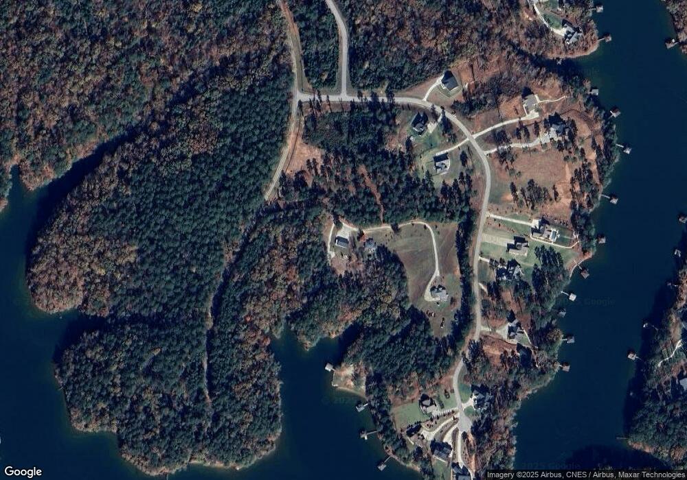
Map
Nearby Homes
- Lot 27 Coachmans Trail
- 803 Barefoot Cove Dr
- 118 Woods Dr
- 347 Mcalister Rd
- Lot 12 S Towson Trail
- 00 S Towson Trail
- 122 Woods Dr
- Lot 2 Linn Garden Ln
- 338 Mcalister Rd
- 381 W Bryant Rd
- 6004 Glassy Water Way
- Lot 43 Glassy Water Way
- Lot 1 Deep Water Way
- Lot 6 Deep Water Way
- 150 Allmon Ln
- 61 Hardwood Pointe Dr
- 4014 Hardwood Pointe Dr
- Lot 61 Hardwood Pointe Dr
- 421 Peninsula Rd
- 509 Peninsula Rd
- 0 Sun Pointe Ct
- 170 Hamby Dr
- 739 Sunset Cove Dr
- 747 Sunset Cove Dr
- 718 Sunset Cove Dr
- Lot 26 Sunset Cove Dr Unit Sunset Cove Dr.
- Lot 24 Sunset Cove Dr
- Lot 22 Sunset Cove Dr
- Lot 29 Sunset Cove Dr
- Lot 38 Sunset Cove Dr
- Lot 32 Sunset Cove Dr
- Lot 17 Sunset Cove Dr
- 29 Sunset Cove Dr
- 22 Sunset Cove Dr
- Lot 4 Sunset Cove Dr
- Lot 41 Sunset Cove Dr
- Lot 16 Sunset Cove Dr
- Lot 13 Sunset Cove Dr
- Lot 39 Sunset Cove Dr
- Lot 19 Sunset Cove Dr