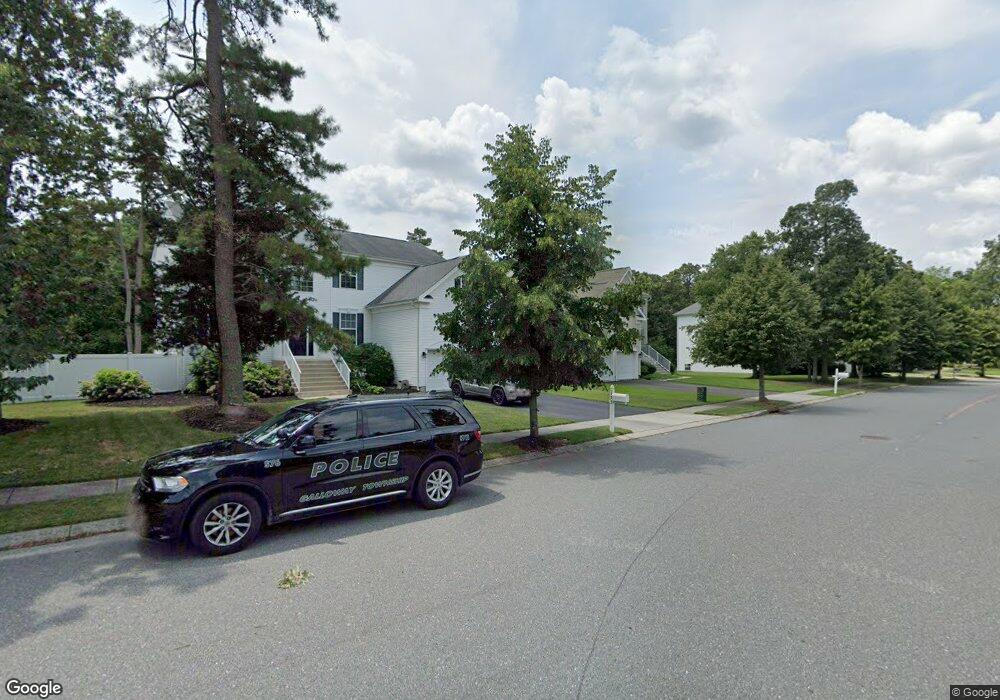
156 Kensington Dr Galloway, NJ 08205
Estimated Value: $500,344 - $572,000
--
Bed
--
Bath
2,812
Sq Ft
$192/Sq Ft
Est. Value
About This Home
This home is located at 156 Kensington Dr, Galloway, NJ 08205 and is currently estimated at $539,586, approximately $191 per square foot. 156 Kensington Dr is a home located in Atlantic County with nearby schools including Oakcrest High School, Cedar Creek High School, and Assumption Regional Catholic School.
Ownership History
Date
Name
Owned For
Owner Type
Purchase Details
Closed on
Nov 29, 2004
Sold by
K Hovnanian At Smithville Inc
Bought by
Crowley Carl and Crowley Jessica
Current Estimated Value
Home Financials for this Owner
Home Financials are based on the most recent Mortgage that was taken out on this home.
Original Mortgage
$255,000
Outstanding Balance
$126,853
Interest Rate
5.63%
Mortgage Type
Purchase Money Mortgage
Estimated Equity
$412,733
Create a Home Valuation Report for This Property
The Home Valuation Report is an in-depth analysis detailing your home's value as well as a comparison with similar homes in the area
Home Values in the Area
Average Home Value in this Area
Purchase History
| Date | Buyer | Sale Price | Title Company |
|---|---|---|---|
| Crowley Carl | $338,104 | -- | |
| Crowley Carl | $338,104 | -- | |
| -- | $338,100 | -- |
Source: Public Records
Mortgage History
| Date | Status | Borrower | Loan Amount |
|---|---|---|---|
| Open | -- | $255,000 | |
| Closed | -- | $255,000 |
Source: Public Records
Tax History Compared to Growth
Tax History
| Year | Tax Paid | Tax Assessment Tax Assessment Total Assessment is a certain percentage of the fair market value that is determined by local assessors to be the total taxable value of land and additions on the property. | Land | Improvement |
|---|---|---|---|---|
| 2025 | $9,704 | $290,700 | $63,100 | $227,600 |
| 2024 | $9,704 | $290,700 | $63,100 | $227,600 |
| 2023 | $9,334 | $290,700 | $63,100 | $227,600 |
| 2022 | $9,334 | $290,700 | $63,100 | $227,600 |
| 2021 | $9,148 | $290,700 | $63,100 | $227,600 |
| 2020 | $9,003 | $290,700 | $63,100 | $227,600 |
| 2019 | $8,837 | $290,700 | $63,100 | $227,600 |
| 2018 | $8,962 | $290,700 | $63,100 | $227,600 |
| 2017 | $8,962 | $290,700 | $63,100 | $227,600 |
| 2016 | $8,884 | $290,700 | $63,100 | $227,600 |
| 2015 | $8,843 | $290,700 | $63,100 | $227,600 |
| 2014 | $8,549 | $290,700 | $63,100 | $227,600 |
Source: Public Records
Map
Nearby Homes
- 25 Seneca Dr Unit 25
- 27 Seneca Dr Unit 4D
- 41 Seneca Dr Unit 1062
- 41 Seneca Dr
- 106 Club Place Unit C2
- 126 Club Place
- 57 Shawnee Place
- 152 Club Place Unit 26B
- 41 Federal Ct Unit 3E2
- 24 Federal Ct
- 213 Patriots Ct Unit 29B
- 37 Colonial Ct Unit H1
- 22 Colonial Ct
- 12 Colonial Ct
- 10 Iroquois Dr Unit D1
- 254 Mattix Run
- 73 Mattix Run Unit A1
- 229 Colonial Ct Unit B2
- 265 Mattix Run
- 6 Mattix Run
- 160 Kensington Dr
- 158 Kensington Dr
- 154 Kensington Dr
- 116 Seminole Dr
- 114 Seminole Dr
- 112 Seminole Dr
- 118 Seminole Dr
- 110 Seminole Dr
- 108 Seminole Dr
- 113 Seminole Dr
- 115 Seminole Dr
- 117 Seminole Dr
- 111 Seminole Dr
- 119 Seminole Dr
- 106 Seminole Dr
- 109 Seminole Dr
- 161 E Navesink Ct
- 121 Seminole Dr
- 107 Seminole Dr
- 104 Seminole Dr