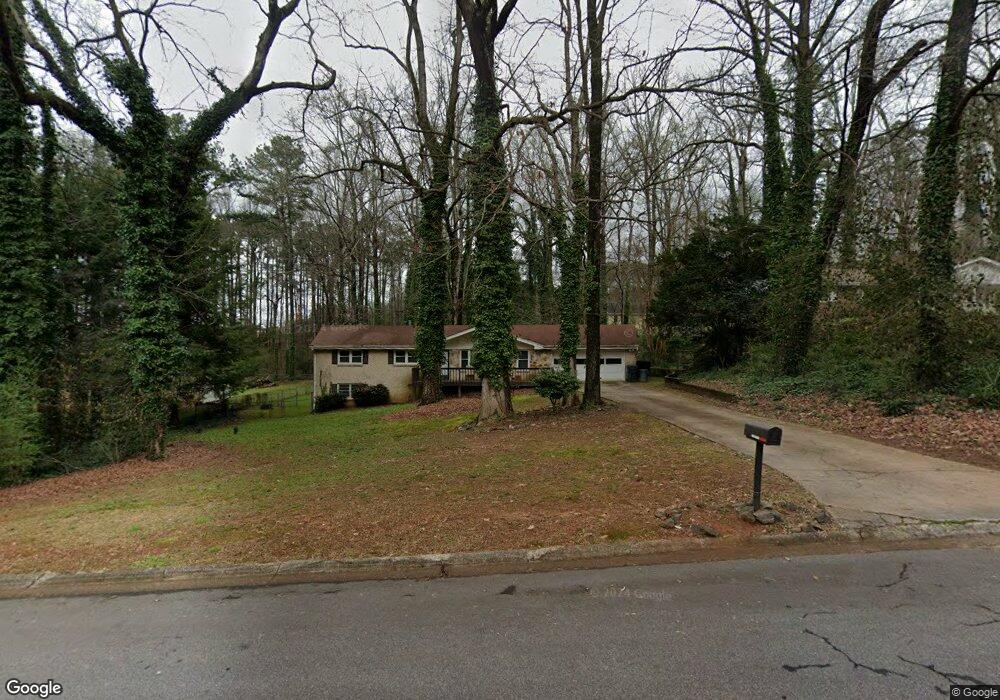
156 King David Dr SW Unit 1 Lilburn, GA 30047
Estimated Value: $288,000 - $363,000
3
Beds
2
Baths
1,482
Sq Ft
$224/Sq Ft
Est. Value
About This Home
This home is located at 156 King David Dr SW Unit 1, Lilburn, GA 30047 and is currently estimated at $331,237, approximately $223 per square foot. 156 King David Dr SW Unit 1 is a home located in Gwinnett County with nearby schools including Camp Creek Elementary School, Trickum Middle School, and Parkview High School.
Ownership History
Date
Name
Owned For
Owner Type
Purchase Details
Closed on
Dec 8, 2021
Sold by
Hayes Atl Llc
Bought by
Davinci Ga Llc
Current Estimated Value
Purchase Details
Closed on
Jan 17, 2014
Sold by
Bush Atl Llc
Bought by
Hayes Atl Llc
Purchase Details
Closed on
Oct 2, 2012
Sold by
Mize Edith M
Bought by
Atlanta Home Providers Llc
Purchase Details
Closed on
Nov 15, 1995
Sold by
Franklin Swayne and Harwell Sandra
Bought by
Merritt Charles and Mize Edith
Create a Home Valuation Report for This Property
The Home Valuation Report is an in-depth analysis detailing your home's value as well as a comparison with similar homes in the area
Home Values in the Area
Average Home Value in this Area
Purchase History
| Date | Buyer | Sale Price | Title Company |
|---|---|---|---|
| Davinci Ga Llc | $2,066,242 | -- | |
| Hayes Atl Llc | -- | -- | |
| Atlanta Home Providers Llc | $79,100 | -- | |
| Merritt Charles | $104,000 | -- |
Source: Public Records
Mortgage History
| Date | Status | Borrower | Loan Amount |
|---|---|---|---|
| Closed | Merritt Charles | $0 |
Source: Public Records
Tax History Compared to Growth
Tax History
| Year | Tax Paid | Tax Assessment Tax Assessment Total Assessment is a certain percentage of the fair market value that is determined by local assessors to be the total taxable value of land and additions on the property. | Land | Improvement |
|---|---|---|---|---|
| 2025 | $4,223 | $131,000 | $22,200 | $108,800 |
| 2024 | $4,273 | $131,000 | $22,200 | $108,800 |
| 2023 | $4,273 | $99,080 | $24,800 | $74,280 |
| 2022 | $3,257 | $99,080 | $24,800 | $74,280 |
| 2021 | $2,671 | $79,120 | $19,600 | $59,520 |
| 2020 | $3,240 | $79,120 | $19,600 | $59,520 |
| 2019 | $2,985 | $72,600 | $19,600 | $53,000 |
| 2018 | $2,843 | $68,560 | $16,800 | $51,760 |
| 2016 | $2,075 | $48,160 | $12,400 | $35,760 |
| 2015 | $1,936 | $43,920 | $10,400 | $33,520 |
| 2014 | -- | $43,920 | $10,400 | $33,520 |
Source: Public Records
Map
Nearby Homes
- 146 King David Dr SW
- Oxford Plan at The Preserve at Killian Hill - Townhomes
- 4627 Nantucket Dr SW
- The Tyndall Plan at Annsbury Park
- The Maisie II Plan at Annsbury Park
- The Sadler Plan at Annsbury Park
- The Talbot Plan at Annsbury Park
- The Idlewild Plan at Annsbury Park
- 4160 Tillrock Ln
- 4181 Tillrock Ln
- 4151 Tillrock Ln
- 4171 Tillrock Ln
- 4191 Tillrock Ln
- 4131 Tillrock Ln
- 4358 Louis Rd SW
- 4740 Nantucket Dr SW
- 4239 River Branch Way
- 383 Ben Ave SW
- 246 Round Pond Dr
- 4909 Woodfall Dr SW
- 156 King David Dr SW
- 166 King David Dr SW Unit 1
- 183 Windsong Ln SW Unit 1
- 176 King David Dr SW
- 155 King David Dr SW
- 193 Windsong Ln SW
- 165 King David Dr SW
- 145 King David Dr SW
- 186 King David Dr SW
- 175 King David Dr SW
- 4500 Nantucket Dr SW
- 203 Windsong Ln SW
- 182 Windsong Ln SW
- 185 King David Dr SW Unit 1
- 196 King David Dr SW
- 4510 Nantucket Dr SW
- 192 Windsong Ln SW Unit 1
- 4490 Nantucket Dr SW
- 4490 Nantucket Dr SW Unit 2
- 4480 Nantucket Dr SW Unit 2