Estimated Value: $325,000 - $602,000
4
Beds
2
Baths
1,472
Sq Ft
$312/Sq Ft
Est. Value
About This Home
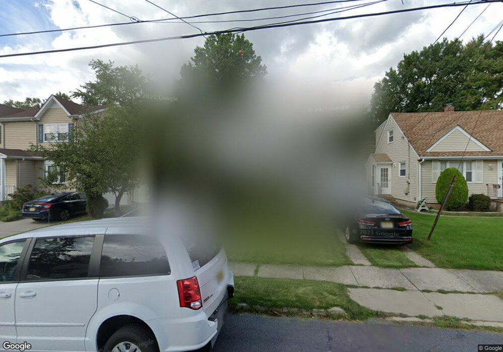
This home is located at 156 Locust Dr, Union, NJ 07083 and is currently estimated at $459,010, approximately $311 per square foot. 156 Locust Dr is a home located in Union County with nearby schools including Battle Hill Elementary School, Burnet Middle School, and Union High School.
Ownership History
Date
Name
Owned For
Owner Type
Purchase Details
Closed on
Nov 20, 2023
Sold by
Dk Investments 1 Llc
Bought by
Diaz-Cuello Damian A and Gutierrez-Perdomo Karol S
Current Estimated Value
Purchase Details
Closed on
Mar 15, 2023
Sold by
Midfirst Bank
Bought by
Dk Investments 1 Llc
Purchase Details
Closed on
Apr 20, 2022
Sold by
Sheriff Of The County Of Union
Bought by
Midfirst Bank
Purchase Details
Closed on
Feb 16, 2001
Sold by
Davi Richard A and Davi Sandra E
Bought by
Martin Alex and Martin Maria
Home Financials for this Owner
Home Financials are based on the most recent Mortgage that was taken out on this home.
Original Mortgage
$204,776
Interest Rate
6.89%
Mortgage Type
FHA
Create a Home Valuation Report for This Property
The Home Valuation Report is an in-depth analysis detailing your home's value as well as a comparison with similar homes in the area
Home Values in the Area
Average Home Value in this Area
Purchase History
| Date | Buyer | Sale Price | Title Company |
|---|---|---|---|
| Diaz-Cuello Damian A | -- | First American Title | |
| Diaz-Cuello Damian A | -- | First American Title | |
| Dk Investments 1 Llc | $356,900 | Mortgage Connect | |
| Dk Investments 1 Llc | $356,900 | Mortgage Connect | |
| Midfirst Bank | $375,989 | None Listed On Document | |
| Martin Alex | $208,000 | Lawyers Title Insurance Corp |
Source: Public Records
Mortgage History
| Date | Status | Borrower | Loan Amount |
|---|---|---|---|
| Previous Owner | Martin Alex | $204,776 |
Source: Public Records
Tax History Compared to Growth
Tax History
| Year | Tax Paid | Tax Assessment Tax Assessment Total Assessment is a certain percentage of the fair market value that is determined by local assessors to be the total taxable value of land and additions on the property. | Land | Improvement |
|---|---|---|---|---|
| 2025 | $9,678 | $51,800 | $20,600 | $31,200 |
| 2024 | $9,383 | $43,300 | $20,600 | $22,700 |
| 2023 | $9,383 | $43,300 | $20,600 | $22,700 |
| 2022 | $9,057 | $43,300 | $20,600 | $22,700 |
| 2021 | $8,837 | $43,300 | $20,600 | $22,700 |
| 2020 | $8,661 | $43,300 | $20,600 | $22,700 |
| 2019 | $8,544 | $43,300 | $20,600 | $22,700 |
| 2018 | $8,399 | $43,300 | $20,600 | $22,700 |
| 2017 | $8,275 | $43,300 | $20,600 | $22,700 |
| 2016 | $8,073 | $43,300 | $20,600 | $22,700 |
| 2015 | $7,939 | $43,300 | $20,600 | $22,700 |
| 2014 | $7,761 | $43,300 | $20,600 | $22,700 |
Source: Public Records
Map
Nearby Homes
- 238 Riverside Dr
- 798 Pinewood Rd
- 105 Battle Hill Ave
- 97 Battle Hill Ave
- 6 Joanne Way
- 67 Battle Hill Ave
- 73 S Maple Ave
- 30 Washington Ave
- 2670 Bancroft Ave
- 960 Moessner Ave
- 19 Warner Ave
- 980 Moessner Ave
- 20 Maple Ave
- 17 Alvin Terrace
- 2636 Frederick Terrace
- 2785 Larchmont Rd
- 1042 Battle Hill Terrace
- 64 S Springfield Ave
- 656 Garden St
- 15 Center St