Estimated Value: $325,000 - $474,000
3
Beds
2
Baths
1,438
Sq Ft
$253/Sq Ft
Est. Value
About This Home
This home is located at 156 Mallard Dr, Avon, CT 06001 and is currently estimated at $364,411, approximately $253 per square foot. 156 Mallard Dr is a home located in Hartford County with nearby schools including Thompson Brook School, Pine Grove School, and Avon Middle School.
Ownership History
Date
Name
Owned For
Owner Type
Purchase Details
Closed on
May 8, 2013
Sold by
Martha M Dixon Ret and Dixon
Bought by
Asmuss Kuniko and Moe Erika A
Current Estimated Value
Purchase Details
Closed on
Aug 25, 1998
Sold by
Goss Peter C and Goss Stephen
Bought by
Mills-Dixon Martha
Purchase Details
Closed on
May 6, 1996
Sold by
Parsons Alice and Parsons Carl
Bought by
Hammack Timothy and Hammacki Corinna
Purchase Details
Closed on
Oct 16, 1987
Sold by
Weber Thomas
Bought by
Goss Jeannette
Create a Home Valuation Report for This Property
The Home Valuation Report is an in-depth analysis detailing your home's value as well as a comparison with similar homes in the area
Home Values in the Area
Average Home Value in this Area
Purchase History
| Date | Buyer | Sale Price | Title Company |
|---|---|---|---|
| Asmuss Kuniko | -- | -- | |
| Asmuss Kuniko | -- | -- | |
| Mills-Dixon Martha | $115,000 | -- | |
| Mills-Dixon Martha | $115,000 | -- | |
| Hammack Timothy | $74,000 | -- | |
| Hammack Timothy | $74,000 | -- | |
| Goss Jeannette | $189,500 | -- |
Source: Public Records
Tax History
| Year | Tax Paid | Tax Assessment Tax Assessment Total Assessment is a certain percentage of the fair market value that is determined by local assessors to be the total taxable value of land and additions on the property. | Land | Improvement |
|---|---|---|---|---|
| 2025 | $6,254 | $203,370 | $0 | $203,370 |
| 2024 | $6,032 | $203,370 | $0 | $203,370 |
| 2023 | $4,525 | $127,870 | $0 | $127,870 |
| 2022 | $4,426 | $127,870 | $0 | $127,870 |
| 2021 | $4,374 | $127,870 | $0 | $127,870 |
| 2020 | $4,207 | $127,870 | $0 | $127,870 |
| 2019 | $4,207 | $127,870 | $0 | $127,870 |
| 2018 | $4,009 | $127,880 | $0 | $127,880 |
| 2017 | $3,912 | $127,880 | $0 | $127,880 |
| 2016 | $3,775 | $127,880 | $0 | $127,880 |
| 2015 | $3,683 | $127,880 | $0 | $127,880 |
| 2014 | $3,622 | $127,880 | $0 | $127,880 |
Source: Public Records
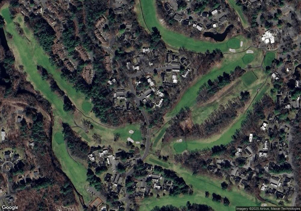
Map
Nearby Homes
- 29 Crocus Ln
- 39 Heritage Dr Unit 39
- 7 Chestnut Dr
- 4 Strathmore Ln Unit 4
- 15 Greenwich Ln Unit 15
- 28 Cottonwood Dr
- 67 Byron Dr
- 32 Canterbury Ln
- 94 Perry St
- 7 Hadley Dr
- 5 Crosswood Rd
- 40 Homestead Ln
- 55 Depot Place
- 50 Northwoods Rd
- 148 River Rd
- 8919 Taine Mountain Rd
- 373 Collinsville Rd
- 42 Keene Place
- 39 High Ridge Hollow
- 7 Newcastle Place
- 155 Mallard Dr
- 155 Mallard Dr Unit 155
- 154 Mallard Dr
- 154 Mallard Dr Unit 154
- 153 Mallard Dr
- 144 Mallard Dr
- 145 Mallard Dr
- 145 Mallard Dr
- 145 Mallard Dr Unit 95A
- 145 Mallard Dr Unit 145
- 151 Mallard Dr
- 151 Mallard Dr Unit 151
- 151 Mallard Dr
- 143 Mallard Dr
- 143 Mallard Dr Unit 143
- 152 Mallard Dr Unit 152
- 152 Mallard Dr
- 152 Mallard Dr
- 146 Mallard Dr
- 146 Mallard Dr Unit 146
Your Personal Tour Guide
Ask me questions while you tour the home.