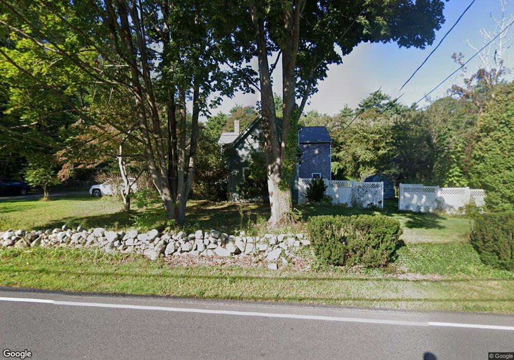
156 Maple St Scituate, MA 02066
Estimated Value: $964,000 - $1,105,000
3
Beds
3
Baths
2,458
Sq Ft
$417/Sq Ft
Est. Value
About This Home
This home is located at 156 Maple St, Scituate, MA 02066 and is currently estimated at $1,025,727, approximately $417 per square foot. 156 Maple St is a home located in Plymouth County with nearby schools including Cushing Elementary School, Lester J. Gates Middle School, and Scituate High School.
Ownership History
Date
Name
Owned For
Owner Type
Purchase Details
Closed on
Aug 7, 2024
Sold by
Watson Marsha N
Bought by
Marsha N A Watson Ret and Watson
Current Estimated Value
Purchase Details
Closed on
Jan 1, 1971
Bought by
Watson James and Watson Marsha
Create a Home Valuation Report for This Property
The Home Valuation Report is an in-depth analysis detailing your home's value as well as a comparison with similar homes in the area
Home Values in the Area
Average Home Value in this Area
Purchase History
| Date | Buyer | Sale Price | Title Company |
|---|---|---|---|
| Marsha N A Watson Ret | -- | None Available | |
| Marsha N A Watson Ret | -- | None Available | |
| Watson James | -- | -- |
Source: Public Records
Mortgage History
| Date | Status | Borrower | Loan Amount |
|---|---|---|---|
| Previous Owner | Watson James | $272,500 | |
| Previous Owner | Watson James | $230,000 | |
| Previous Owner | Watson James | $203,000 | |
| Previous Owner | Watson James | $45,000 |
Source: Public Records
Tax History Compared to Growth
Tax History
| Year | Tax Paid | Tax Assessment Tax Assessment Total Assessment is a certain percentage of the fair market value that is determined by local assessors to be the total taxable value of land and additions on the property. | Land | Improvement |
|---|---|---|---|---|
| 2025 | $7,385 | $739,200 | $378,200 | $361,000 |
| 2024 | $7,229 | $697,800 | $343,800 | $354,000 |
| 2023 | $6,997 | $628,700 | $312,600 | $316,100 |
| 2022 | $5,915 | $468,700 | $274,200 | $194,500 |
| 2021 | $80 | $437,700 | $261,200 | $176,500 |
| 2020 | $74 | $428,600 | $251,100 | $177,500 |
| 2019 | $5,807 | $422,600 | $246,200 | $176,400 |
| 2018 | $6,258 | $448,600 | $262,900 | $185,700 |
| 2017 | $105 | $424,700 | $239,000 | $185,700 |
| 2016 | $5,745 | $406,300 | $227,000 | $179,300 |
| 2015 | $5,167 | $394,400 | $215,100 | $179,300 |
Source: Public Records
Map
Nearby Homes
- 131 Maple St
- 2 Webster Farm Way
- 16 Cranberry Ln
- 575 First Parish Rd
- 116 Old Forge Rd
- 293 Cross St
- 25 Webster Farm Way
- 23 Webster Farm Way
- 3 Webster Farm Way
- 5 Webster Farm Way
- 25 Gendarme Place
- 252 Winter St
- 110 Parker St
- 0 Mt Blue Unit 73374335
- 32 Fairview Ave
- 334 Summer St
- 17 Old Oaken Bucket Rd
- 12 Sassamon Rd
- 9 Kyle Path
- 13 Hornbeam Rd
- 155 Maple St
- 148 Maple St
- 308 Old Oaken Bucket Rd
- 132 Maple St
- 132 Maple St Unit 132
- 133 Maple St
- 317 Old Oaken Bucket Rd
- 294 Old Oaken Bucket Rd
- 131 Maple St
- 303 Old Oaken Bucket Rd
- 290 Old Oaken Bucket Rd
- 297 Old Oaken Bucket Rd
- 178 Maple St
- 129 Maple St
- 175 Maple St
- 330-340 Old Oaken Bucket Rd
- 280 Old Oaken Bucket Rd
- 385 Winter St
- 121 Maple St
- 125 Maple St