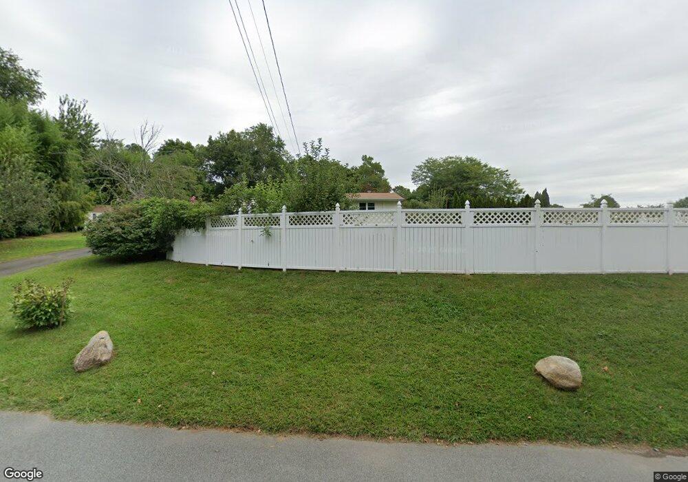
156 Mill Rock Rd E Old Saybrook, CT 06475
Estimated Value: $473,773 - $608,000
3
Beds
2
Baths
1,196
Sq Ft
$449/Sq Ft
Est. Value
About This Home
This home is located at 156 Mill Rock Rd E, Old Saybrook, CT 06475 and is currently estimated at $536,693, approximately $448 per square foot. 156 Mill Rock Rd E is a home located in Middlesex County with nearby schools including Kathleen E. Goodwin School, Old Saybrook Middle School, and Old Saybrook Senior High School.
Ownership History
Date
Name
Owned For
Owner Type
Purchase Details
Closed on
Apr 2, 2025
Sold by
Karg Louis J and Karg Patricia A
Bought by
Karg Louis J and Karg Patricia A
Current Estimated Value
Purchase Details
Closed on
Jul 23, 1979
Bought by
Karg Louis J and Karg Patricia A
Create a Home Valuation Report for This Property
The Home Valuation Report is an in-depth analysis detailing your home's value as well as a comparison with similar homes in the area
Home Values in the Area
Average Home Value in this Area
Purchase History
| Date | Buyer | Sale Price | Title Company |
|---|---|---|---|
| Karg Louis J | -- | None Available | |
| Karg Louis J | -- | None Available | |
| Karg Louis J | -- | -- |
Source: Public Records
Mortgage History
| Date | Status | Borrower | Loan Amount |
|---|---|---|---|
| Previous Owner | Karg Louis J | $50,000 | |
| Previous Owner | Karg Louis J | $108,000 | |
| Previous Owner | Karg Louis J | $20,000 | |
| Previous Owner | Karg Louis J | $78,800 |
Source: Public Records
Tax History
| Year | Tax Paid | Tax Assessment Tax Assessment Total Assessment is a certain percentage of the fair market value that is determined by local assessors to be the total taxable value of land and additions on the property. | Land | Improvement |
|---|---|---|---|---|
| 2025 | $3,563 | $229,900 | $59,300 | $170,600 |
| 2024 | $3,494 | $229,900 | $59,300 | $170,600 |
| 2023 | $3,389 | $165,700 | $49,500 | $116,200 |
| 2022 | $3,327 | $165,700 | $49,500 | $116,200 |
| 2021 | $3,322 | $165,700 | $49,500 | $116,200 |
| 2020 | $3,322 | $165,700 | $49,500 | $116,200 |
| 2019 | $3,273 | $165,700 | $49,500 | $116,200 |
| 2018 | $3,318 | $169,300 | $52,000 | $117,300 |
| 2017 | $3,328 | $169,300 | $52,000 | $117,300 |
| 2016 | $3,261 | $169,300 | $52,000 | $117,300 |
| 2015 | $3,185 | $169,300 | $52,000 | $117,300 |
| 2014 | $3,132 | $169,300 | $52,000 | $117,300 |
Source: Public Records
Map
Nearby Homes
- 0 Middlesex Turnpike
- 0 Merritt Ln
- 1333A Boston Post Rd
- 11 Coulter St Unit 28
- 125 Main St
- 60 Ingham Hill Rd
- 18 Quarry St
- 100 Dudley Ave Unit H43
- 62-14,15,16 Middlesex Turnpike
- 122 Old Post Rd
- 5 Sunrise Ave
- 23 Clinton Ave
- 99 Maple Ave
- 103 Maple Ave
- 175 Ferry Rd Unit 10
- 12 Hill Rd
- 41 Briarwood Dr
- 14 Denmore Ln
- 33 Briarwood Dr
- 10 Mulberry St
- 144 Mill Rock Rd E
- 138 Mill Rock Rd E
- 5 Research Pkwy
- 2 Foster Dr
- 3 Foster Dr
- 55 Mill Rock Rd W
- Lot#18 Boston Post Rd
- 0 Bethel Heights Unit G539911
- 0 Bethel Heights Unit G539891
- L35-15 Ingham Hill Rd
- L 40-2 Hill Rd
- TBD Essex Rd
- 1&3 Foster Dr
- Lot 87 Montauk Trail
- 0 Confidential Ave Unit E10224278
- Lot on Bokum Rd
- 1 & 3 Foster Dr
- 0 Bethel Heights Unit M9121698
- 0 Bethel Heights Unit M9121693
- Lot #1 Bethel Heights
