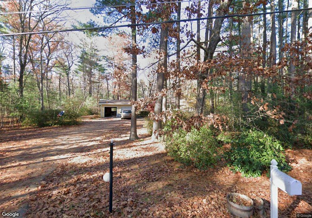
156 Moore Rd Sudbury, MA 01776
Estimated Value: $930,000 - $974,000
3
Beds
3
Baths
2,294
Sq Ft
$414/Sq Ft
Est. Value
About This Home
This home is located at 156 Moore Rd, Sudbury, MA 01776 and is currently estimated at $950,388, approximately $414 per square foot. 156 Moore Rd is a home located in Middlesex County with nearby schools including Peter Noyes Elementary School, Ephraim Curtis Middle School, and Lincoln-Sudbury Regional High School.
Ownership History
Date
Name
Owned For
Owner Type
Purchase Details
Closed on
Jun 29, 2001
Sold by
Holmes Richard L and Holmes Margaret J
Bought by
Thomas David B and Thomas Marcy B
Current Estimated Value
Home Financials for this Owner
Home Financials are based on the most recent Mortgage that was taken out on this home.
Original Mortgage
$412,000
Outstanding Balance
$158,774
Interest Rate
7.14%
Mortgage Type
Purchase Money Mortgage
Estimated Equity
$791,614
Create a Home Valuation Report for This Property
The Home Valuation Report is an in-depth analysis detailing your home's value as well as a comparison with similar homes in the area
Home Values in the Area
Average Home Value in this Area
Purchase History
| Date | Buyer | Sale Price | Title Company |
|---|---|---|---|
| Thomas David B | $515,000 | -- |
Source: Public Records
Mortgage History
| Date | Status | Borrower | Loan Amount |
|---|---|---|---|
| Open | Thomas David B | $412,000 | |
| Previous Owner | Thomas David B | $107,000 | |
| Previous Owner | Thomas David B | $50,000 |
Source: Public Records
Tax History Compared to Growth
Tax History
| Year | Tax Paid | Tax Assessment Tax Assessment Total Assessment is a certain percentage of the fair market value that is determined by local assessors to be the total taxable value of land and additions on the property. | Land | Improvement |
|---|---|---|---|---|
| 2025 | $11,744 | $802,200 | $463,600 | $338,600 |
| 2024 | $11,362 | $777,700 | $450,000 | $327,700 |
| 2023 | $10,847 | $687,800 | $416,800 | $271,000 |
| 2022 | $10,586 | $586,500 | $382,400 | $204,100 |
| 2021 | $10,507 | $558,000 | $382,400 | $175,600 |
| 2020 | $10,295 | $558,000 | $382,400 | $175,600 |
| 2019 | $9,825 | $548,600 | $382,400 | $166,200 |
| 2018 | $9,905 | $552,400 | $402,400 | $150,000 |
| 2017 | $9,500 | $535,500 | $397,600 | $137,900 |
| 2016 | $9,188 | $516,200 | $382,400 | $133,800 |
| 2015 | $9,119 | $518,100 | $367,600 | $150,500 |
| 2014 | $9,089 | $504,100 | $356,800 | $147,300 |
Source: Public Records
Map
Nearby Homes
- 21 Summer St
- 14 Tanbark Rd
- 7 Saddle Ridge Rd
- 47 Fairbank Rd
- 788 Main St
- 786 Main St
- 143 Peakham Rd
- 10 Shoreline Dr Unit 12
- 8 Shoreline Dr Unit 11
- 123 Dutton Rd
- 14 Old County Rd Unit 21
- 4 Elderberry Cir
- 3 Shore Line Dr Unit 15
- 10 Old County Rd Unit 19
- 1 Town Line Rd
- 1 Town Line Rd Unit 18
- Stockbridge South Shore Plan at Lakemont by Toll Brothers
- 12 Town Line Rd Unit 6
- 34 Hallock Point Rd
- 10 Town Line Rd Unit 5