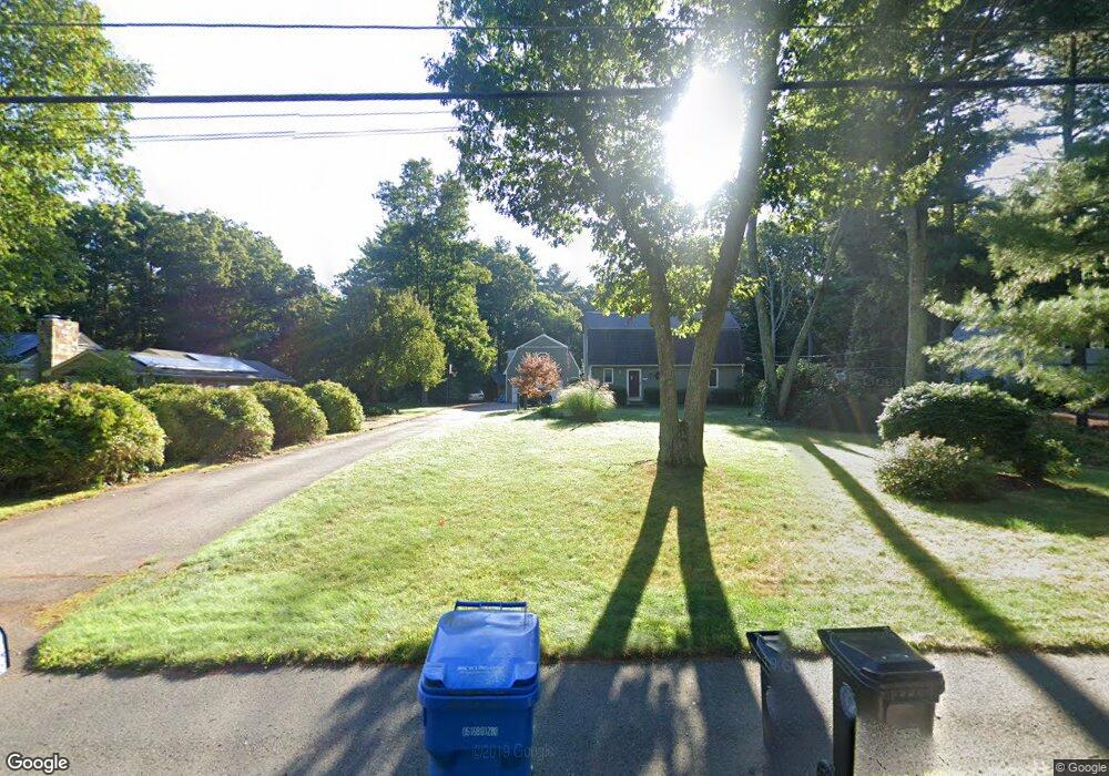
156 Park St Wrentham, MA 02093
Estimated Value: $635,000 - $689,000
3
Beds
2
Baths
1,728
Sq Ft
$381/Sq Ft
Est. Value
About This Home
This home is located at 156 Park St, Wrentham, MA 02093 and is currently estimated at $659,145, approximately $381 per square foot. 156 Park St is a home located in Norfolk County with nearby schools including Delaney Elementary School and Charles E Roderick.
Ownership History
Date
Name
Owned For
Owner Type
Purchase Details
Closed on
May 1, 2001
Sold by
Lucas Kelley E and Lucas Jill I
Bought by
Haffermehl David M and Walker Sherri L
Current Estimated Value
Home Financials for this Owner
Home Financials are based on the most recent Mortgage that was taken out on this home.
Original Mortgage
$264,800
Outstanding Balance
$97,777
Interest Rate
6.88%
Mortgage Type
Purchase Money Mortgage
Estimated Equity
$561,368
Purchase Details
Closed on
Jan 11, 1994
Sold by
Brady Michael F and Brady Anita A
Bought by
Lucas Kelly E and Lucas Jill I
Home Financials for this Owner
Home Financials are based on the most recent Mortgage that was taken out on this home.
Original Mortgage
$85,000
Interest Rate
7.23%
Mortgage Type
Purchase Money Mortgage
Create a Home Valuation Report for This Property
The Home Valuation Report is an in-depth analysis detailing your home's value as well as a comparison with similar homes in the area
Home Values in the Area
Average Home Value in this Area
Purchase History
| Date | Buyer | Sale Price | Title Company |
|---|---|---|---|
| Haffermehl David M | $273,000 | -- | |
| Lucas Kelly E | $174,100 | -- |
Source: Public Records
Mortgage History
| Date | Status | Borrower | Loan Amount |
|---|---|---|---|
| Open | Lucas Kelly E | $264,800 | |
| Previous Owner | Lucas Kelly E | $85,000 | |
| Previous Owner | Lucas Kelly E | $145,350 |
Source: Public Records
Tax History Compared to Growth
Tax History
| Year | Tax Paid | Tax Assessment Tax Assessment Total Assessment is a certain percentage of the fair market value that is determined by local assessors to be the total taxable value of land and additions on the property. | Land | Improvement |
|---|---|---|---|---|
| 2025 | $6,588 | $568,400 | $299,300 | $269,100 |
| 2024 | $6,433 | $536,100 | $299,300 | $236,800 |
| 2023 | $6,305 | $499,600 | $272,100 | $227,500 |
| 2022 | $6,197 | $453,300 | $253,700 | $199,600 |
| 2021 | $5,885 | $418,300 | $221,500 | $196,800 |
| 2020 | $5,724 | $401,700 | $197,000 | $204,700 |
| 2019 | $5,672 | $401,700 | $197,000 | $204,700 |
| 2018 | $5,421 | $380,700 | $197,100 | $183,600 |
| 2017 | $5,144 | $361,000 | $193,300 | $167,700 |
| 2016 | $4,945 | $346,300 | $187,700 | $158,600 |
| 2015 | $4,818 | $321,600 | $180,400 | $141,200 |
| 2014 | $4,757 | $310,700 | $173,500 | $137,200 |
Source: Public Records
Map
Nearby Homes
- 570 Franklin St
- 50 Reed Fulton Ave Unit Lot 61
- 45 Joshua Rd
- 246 Forest Grove Ave
- 131 Creek St Unit 7
- 10 Nature View Dr
- 15 Nature View Dr
- 270 Dedham St
- 45 King St
- 12 Waites Crossing Way
- 3 Oak Rd
- 11 Elliot Mills Unit 11
- 11 Earle Stewart Ln
- 1 Lorraine Metcalf Dr
- Lot 3 - 14 Earle Stewart Ln
- 3 Sparrow Rd
- 14 Essex St
- Lot 1 - Blueberry 2 Car Plan at King Philip Estates
- Lot 8 - Blueberry 2 Car Plan at King Philip Estates
- Lot 5 - Hughes 2 car Plan at King Philip Estates