156 Patrick Rd Tewksbury, MA 01876
Estimated Value: $502,033 - $583,000
2
Beds
2
Baths
1,240
Sq Ft
$425/Sq Ft
Est. Value
About This Home
This home is located at 156 Patrick Rd, Tewksbury, MA 01876 and is currently estimated at $527,008, approximately $425 per square foot. 156 Patrick Rd is a home located in Middlesex County.
Ownership History
Date
Name
Owned For
Owner Type
Purchase Details
Closed on
Dec 1, 2003
Sold by
Young Christopher M and Gavin Dawn M
Bought by
Lee Andrew
Current Estimated Value
Home Financials for this Owner
Home Financials are based on the most recent Mortgage that was taken out on this home.
Original Mortgage
$20,000
Interest Rate
6.09%
Mortgage Type
Purchase Money Mortgage
Purchase Details
Closed on
Sep 20, 2000
Sold by
Potvin Thea M
Bought by
Young Christopher M and Gavin Dawn M
Home Financials for this Owner
Home Financials are based on the most recent Mortgage that was taken out on this home.
Original Mortgage
$143,200
Interest Rate
8%
Mortgage Type
Purchase Money Mortgage
Purchase Details
Closed on
May 16, 1996
Sold by
Mcsweeney William and Mcsweeney Alicia
Bought by
Potvin Thea M
Purchase Details
Closed on
Jun 22, 1987
Sold by
F I C Assoc Inc
Bought by
Mcsweeney Willliam F
Create a Home Valuation Report for This Property
The Home Valuation Report is an in-depth analysis detailing your home's value as well as a comparison with similar homes in the area
Home Values in the Area
Average Home Value in this Area
Purchase History
| Date | Buyer | Sale Price | Title Company |
|---|---|---|---|
| Lee Andrew | $239,000 | -- | |
| Young Christopher M | $179,000 | -- | |
| Potvin Thea M | $102,500 | -- | |
| Mcsweeney Willliam F | $138,900 | -- |
Source: Public Records
Mortgage History
| Date | Status | Borrower | Loan Amount |
|---|---|---|---|
| Open | Mcsweeney Willliam F | $163,000 | |
| Closed | Lee Andrew | $20,000 | |
| Previous Owner | Mcsweeney Willliam F | $143,200 | |
| Previous Owner | Mcsweeney Willliam F | $25,000 |
Source: Public Records
Tax History Compared to Growth
Tax History
| Year | Tax Paid | Tax Assessment Tax Assessment Total Assessment is a certain percentage of the fair market value that is determined by local assessors to be the total taxable value of land and additions on the property. | Land | Improvement |
|---|---|---|---|---|
| 2025 | $5,696 | $430,900 | $0 | $430,900 |
| 2024 | $5,418 | $404,600 | $0 | $404,600 |
| 2023 | $5,327 | $377,800 | $0 | $377,800 |
| 2022 | $4,765 | $313,500 | $0 | $313,500 |
| 2021 | $4,667 | $296,900 | $0 | $296,900 |
| 2020 | $4,634 | $290,200 | $0 | $290,200 |
| 2019 | $4,090 | $258,200 | $0 | $258,200 |
| 2018 | $3,912 | $242,500 | $0 | $242,500 |
| 2017 | $3,673 | $225,200 | $0 | $225,200 |
| 2016 | $3,486 | $213,200 | $0 | $213,200 |
| 2015 | $3,127 | $191,000 | $0 | $191,000 |
| 2014 | $2,979 | $184,900 | $0 | $184,900 |
Source: Public Records
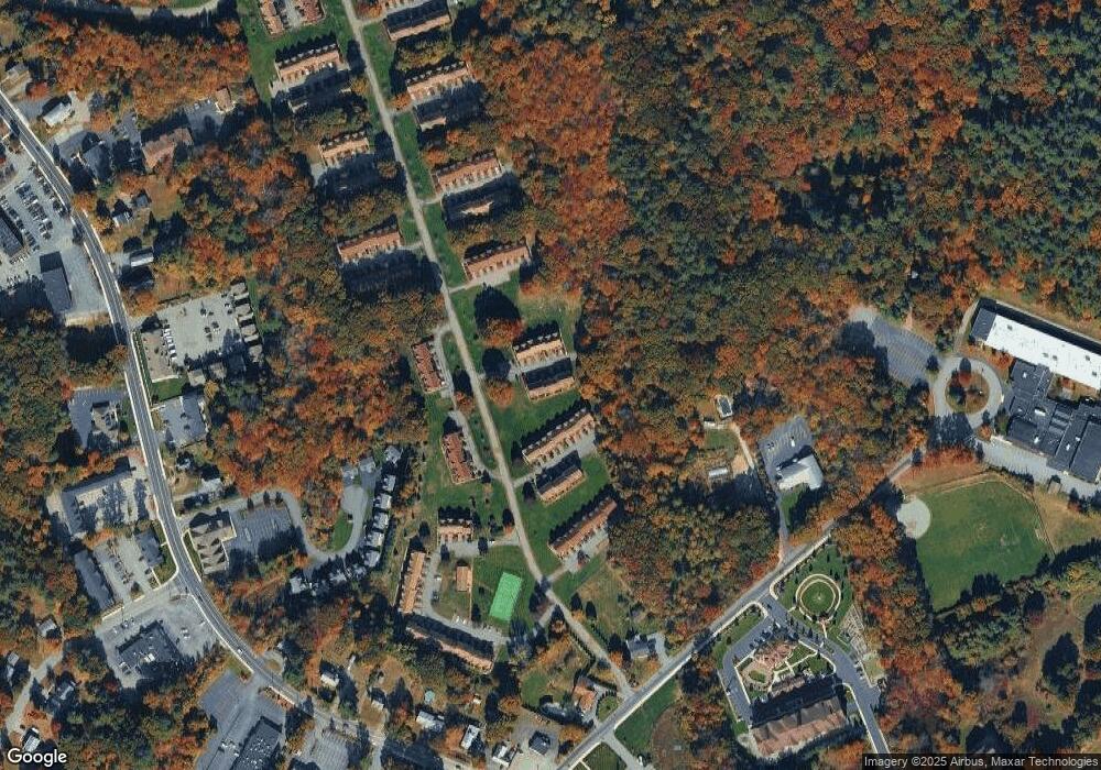
Map
Nearby Homes
- 172 Patrick Rd
- 61 Patrick Rd
- 1418 Main St Unit 201
- 43 Patrick Rd
- 1455 Main St Unit 8
- 11 Orchard St
- 1325 Main
- 12 Hillcrest Rd
- 14 Hinckley Rd
- 15 Pinewood Rd
- 20 Sophie Ruth Way
- 107 Eagle Dr Unit 107
- 93 Fairway Dr
- 127 Caddy Ct
- 13 Berkeley
- 1 Tremblay Ave
- 16 Eagle Dr
- 9 Tomahawk Dr
- 177 Apache Way Unit 177
- 71 Apache Way Unit 71
- 160 Patrick Rd
- 159 Patrick Rd
- 158 Patrick Rd
- 157 Patrick Rd
- 155 Patrick Rd
- 157 Patrick Rd Unit 157
- 154 Patrick Rd
- 153 Patrick Rd
- 152 Patrick Rd
- 151 Patrick Rd
- 150 Patrick Rd
- 149 Patrick Rd
- 170 Patrick Rd
- 169 Patrick Rd
- 168 Patrick Rd
- 167 Patrick Rd
- 166 Patrick Rd
- 165 Patrick Rd
- 164 Patrick Rd
- 163 Patrick Rd