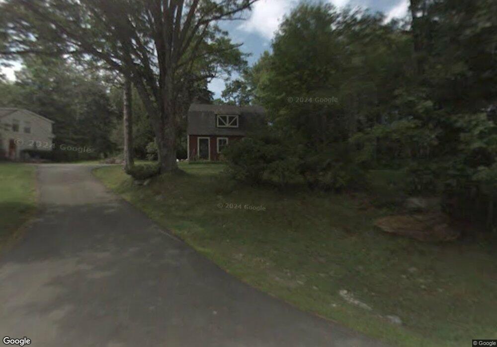
156 S Freeport Rd Freeport, ME 04032
Estimated Value: $490,013 - $705,000
3
Beds
3
Baths
1,610
Sq Ft
$364/Sq Ft
Est. Value
About This Home
This home is located at 156 S Freeport Rd, Freeport, ME 04032 and is currently estimated at $586,003, approximately $363 per square foot. 156 S Freeport Rd is a home located in Cumberland County with nearby schools including Morse Street School, Mast Landing School, and Freeport Middle School.
Ownership History
Date
Name
Owned For
Owner Type
Purchase Details
Closed on
Oct 30, 2008
Sold by
Mardas Mary K and Mardas Thomas
Bought by
Sawyer Paula G
Current Estimated Value
Create a Home Valuation Report for This Property
The Home Valuation Report is an in-depth analysis detailing your home's value as well as a comparison with similar homes in the area
Home Values in the Area
Average Home Value in this Area
Purchase History
| Date | Buyer | Sale Price | Title Company |
|---|---|---|---|
| Sawyer Paula G | -- | -- |
Source: Public Records
Mortgage History
| Date | Status | Borrower | Loan Amount |
|---|---|---|---|
| Previous Owner | Sawyer Paula G | $185,000 |
Source: Public Records
Tax History
| Year | Tax Paid | Tax Assessment Tax Assessment Total Assessment is a certain percentage of the fair market value that is determined by local assessors to be the total taxable value of land and additions on the property. | Land | Improvement |
|---|---|---|---|---|
| 2025 | $4,737 | $342,000 | $183,200 | $158,800 |
| 2024 | $4,450 | $333,300 | $174,500 | $158,800 |
| 2023 | $4,093 | $297,700 | $158,600 | $139,100 |
| 2022 | $3,832 | $280,700 | $141,600 | $139,100 |
| 2021 | $3,747 | $280,700 | $141,600 | $139,100 |
| 2020 | $3,636 | $259,700 | $131,100 | $128,600 |
| 2019 | $3,481 | $243,400 | $123,700 | $119,700 |
| 2018 | $3,335 | $221,600 | $110,700 | $110,900 |
| 2017 | $3,207 | $214,500 | $108,600 | $105,900 |
| 2016 | $3,095 | $195,900 | $97,900 | $98,000 |
| 2015 | $2,967 | $176,600 | $89,400 | $87,200 |
| 2014 | $2,790 | $176,600 | $89,400 | $87,200 |
| 2013 | $2,649 | $167,100 | $81,300 | $85,800 |
Source: Public Records
Map
Nearby Homes
- 2 Tidal Brook Rd
- 20 Harvest Ridge Rd Unit 23
- 26 Harvest Ridge Rd Unit 24
- 34 Sisquisic Trail
- 17 Youngs Ln Unit 17
- 177 Bluff Rd Unit 20
- 27 Youngs Ln Unit 27
- 62 Webster Rd
- 9 Gables Dr Unit 9
- 0 Bayview St
- 52 Blueberry Cove Rd Unit 52
- 15 Linwood Rd Unit 15
- 39 Hunter Rd
- 6 Daybreak Ln Unit 18
- 16 Rocky Hill Rd
- 18 Portland St
- 52 Birch Point Rd
- 5 Holbrook St
- 1 Railroad Square Unit Townhome C
- 1 Railroad Square Unit 103
- 8 Winding Creek Ln
- 4 Winding Creek Ln
- 7 Winding Creek Ln
- 158 S Freeport Rd
- 160 S Freeport Rd
- 0 Staples Point Rd Unit 1226350
- 0A Staples Point Rd
- 3 Winding Ridge Way
- 6 Winding Creek Ln
- 161 S Freeport Rd
- 152 S Freeport Rd
- 5 Winding Creek Ln
- 153 S Freeport Rd
- 1 Staples Point Rd Unit 1B
- 1 Staples Point Rd Unit 1A
- 1 Staples Point Rd
- 3 Winding Creek Ln
- 162 S Freeport Rd
- 164 S Freeport Rd
- 163 S Freeport Rd
Your Personal Tour Guide
Ask me questions while you tour the home.