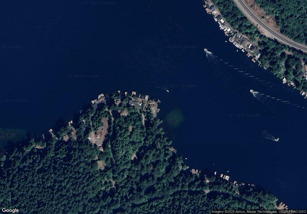
156 Sunny Point Ln Port Angeles, WA 98363
Estimated Value: $830,321 - $897,000
2
Beds
2
Baths
1,528
Sq Ft
$569/Sq Ft
Est. Value
About This Home
This home is located at 156 Sunny Point Ln, Port Angeles, WA 98363 and is currently estimated at $870,107, approximately $569 per square foot. 156 Sunny Point Ln is a home located in Clallam County with nearby schools including Dry Creek Elementary School, Stevens Middle School, and Port Angeles High School.
Ownership History
Date
Name
Owned For
Owner Type
Purchase Details
Closed on
Jan 4, 2017
Sold by
Politika Michael and Politika Staci
Bought by
Horst Leonard L and Horst Kelsey L
Current Estimated Value
Home Financials for this Owner
Home Financials are based on the most recent Mortgage that was taken out on this home.
Original Mortgage
$288,000
Outstanding Balance
$237,406
Interest Rate
4.13%
Mortgage Type
New Conventional
Estimated Equity
$632,701
Purchase Details
Closed on
Jun 12, 2014
Sold by
Wakefield Daryl P and Wakefield Kimberly D
Bought by
Politika Michael and Politika Staci
Create a Home Valuation Report for This Property
The Home Valuation Report is an in-depth analysis detailing your home's value as well as a comparison with similar homes in the area
Home Values in the Area
Average Home Value in this Area
Purchase History
| Date | Buyer | Sale Price | Title Company |
|---|---|---|---|
| Horst Leonard L | $360,000 | None Available | |
| Politika Michael | $342,500 | Clallam Title Co |
Source: Public Records
Mortgage History
| Date | Status | Borrower | Loan Amount |
|---|---|---|---|
| Open | Horst Leonard L | $288,000 |
Source: Public Records
Tax History Compared to Growth
Tax History
| Year | Tax Paid | Tax Assessment Tax Assessment Total Assessment is a certain percentage of the fair market value that is determined by local assessors to be the total taxable value of land and additions on the property. | Land | Improvement |
|---|---|---|---|---|
| 2021 | $4,786 | $395,762 | $127,688 | $268,074 |
| 2020 | $3,369 | $357,483 | $127,688 | $229,795 |
| 2018 | $3,264 | $322,025 | $121,304 | $200,721 |
| 2017 | $2,798 | $249,529 | $109,294 | $140,235 |
| 2016 | $2,798 | $251,705 | $109,294 | $142,411 |
| 2015 | $2,798 | $251,926 | $109,294 | $142,632 |
| 2013 | $2,798 | $258,315 | $109,294 | $149,021 |
| 2012 | $2,798 | $265,246 | $109,294 | $155,952 |
Source: Public Records
Map
Nearby Homes
- 17 Thompson Point Rd
- 53284 Highway 112
- 53464 Washington 112
- 62 Johnson Rd
- 0 Thompson Rd
- 101 Wild Blackberry Ln
- 101 Durrwachter Rd
- 325 Evergreen View Pkwy
- 262 Break View Rd
- 15 Green Belt Dr
- 50788 Washington 112
- 222 Southview Dr
- 428 Eagle Ridge Rd
- 1317 Crescent Beach Rd
- 644 Crescent Bay Ln
- 46781 Washington 112
- 45100 Washington 112
- 451XX Washington 112
- 154 Sunny Point Ln
- 180 Sunny Point Ln
- 194 Bald Eagle Way
- 192 Bald Eagle Way
- 182 Bald Eagle Way
- 1352 S Shore Rd
- 145 Bald Eagle Way
- 143 Bald Eagle Way
- 221 Yew Tree Dr
- 223 Yew Tree Dr
- 1296 S Shore Rd
- 1292 S Shore Rd
- 1290 S Shore Rd
- 1250 S Shore Rd
- 1232 S Shore Rd
- 60 Shoreline Dr
- 42 Shoreline Dr
- 191 Yew Tree Dr
- 211 Yew Tree Dr
- 213 Yew Tree Dr
