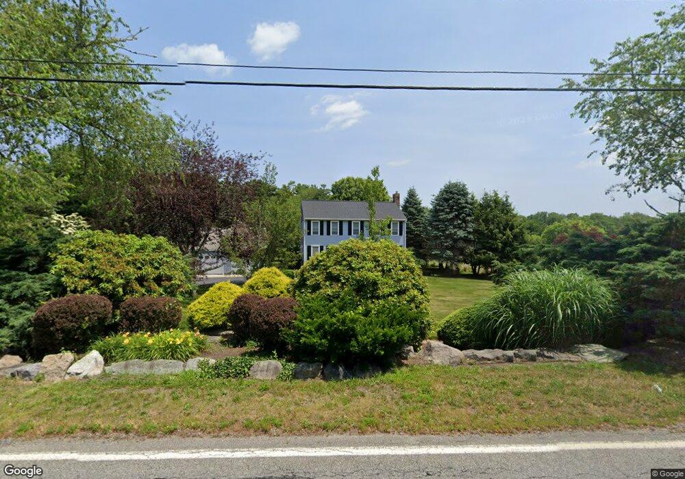
156 Thompson St Middleboro, MA 02346
Estimated Value: $620,879 - $757,000
3
Beds
2
Baths
1,800
Sq Ft
$375/Sq Ft
Est. Value
About This Home
This home is located at 156 Thompson St, Middleboro, MA 02346 and is currently estimated at $674,470, approximately $374 per square foot. 156 Thompson St is a home located in Plymouth County with nearby schools including Mary K. Goode Elementary School.
Ownership History
Date
Name
Owned For
Owner Type
Purchase Details
Closed on
Aug 18, 1995
Sold by
7-8 Rt and Colarusso Paul
Bought by
Oleary Richard B and Oleary Karen M
Current Estimated Value
Home Financials for this Owner
Home Financials are based on the most recent Mortgage that was taken out on this home.
Original Mortgage
$110,000
Interest Rate
7.61%
Mortgage Type
Purchase Money Mortgage
Create a Home Valuation Report for This Property
The Home Valuation Report is an in-depth analysis detailing your home's value as well as a comparison with similar homes in the area
Home Values in the Area
Average Home Value in this Area
Purchase History
| Date | Buyer | Sale Price | Title Company |
|---|---|---|---|
| Oleary Richard B | $152,800 | -- |
Source: Public Records
Mortgage History
| Date | Status | Borrower | Loan Amount |
|---|---|---|---|
| Open | Oleary Richard B | $25,000 | |
| Closed | Oleary Richard B | $110,000 |
Source: Public Records
Tax History Compared to Growth
Tax History
| Year | Tax Paid | Tax Assessment Tax Assessment Total Assessment is a certain percentage of the fair market value that is determined by local assessors to be the total taxable value of land and additions on the property. | Land | Improvement |
|---|---|---|---|---|
| 2025 | $6,690 | $498,900 | $172,200 | $326,700 |
| 2024 | $6,767 | $499,800 | $164,200 | $335,600 |
| 2023 | $6,264 | $439,900 | $164,200 | $275,700 |
| 2022 | $5,854 | $380,600 | $142,600 | $238,000 |
| 2021 | $5,763 | $354,200 | $125,000 | $229,200 |
| 2020 | $5,521 | $347,700 | $125,000 | $222,700 |
| 2019 | $5,406 | $349,200 | $125,000 | $224,200 |
| 2018 | $5,111 | $327,600 | $118,800 | $208,800 |
| 2017 | $4,889 | $310,000 | $114,200 | $195,800 |
| 2016 | $4,736 | $297,500 | $108,200 | $189,300 |
| 2015 | $4,557 | $288,800 | $108,200 | $180,600 |
Source: Public Records
Map
Nearby Homes
- 0 Thompson St
- Lot B Thompson St
- Lot A Thompson St
- 105 Plain St
- 2404 Simmons Rd Unit 2404SIM
- 1606 Fox Run
- 3509 Fox Run Unit 3509FOX
- 2804 Island Dr
- Lot 3 Margot Rose Cir
- 408 Green St Unit 408GRE
- 2608 Oak Point Dr
- 67 Thompson St
- 1103 Green St
- 1901 Pheasant Ln
- 2101 Pheasant Ln Unit 2101PHE
- 61 Thompson St
- 1903 Pheasant Ln Unit 1903PHE
- 2602 Green St
- 55 Thompson St
- 602 Hastings Rd Unit 602HAS
- 160 Thompson St
- 152 Thompson St
- 161 Thompson St
- 164 Thompson St
- 150 Thompson St
- 170 Thompson St
- 169 Thompson St Unit RT105
- 169 Thompson St Unit FARM
- 169 Thompson St Unit HORSES
- 169 Thompson St
- 174 Thompson St
- 171 Thompson St
- 176 Thompson St
- 177 Thompson St
- 133 Thompson St
- 139 Thompson St
- 181 Thompson St
- 182 Thompson St
- 184 Thompson St
- 185 Thompson St