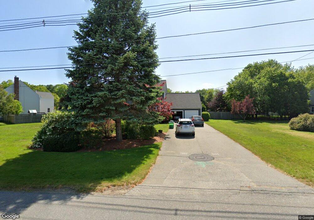
156 W River Rd Uxbridge, MA 01569
Estimated Value: $538,000 - $655,000
3
Beds
3
Baths
1,700
Sq Ft
$355/Sq Ft
Est. Value
About This Home
This home is located at 156 W River Rd, Uxbridge, MA 01569 and is currently estimated at $604,154, approximately $355 per square foot. 156 W River Rd is a home located in Worcester County with nearby schools including Uxbridge High School, Our Lady of the Valley Regional School, and Whitinsville Christian School.
Ownership History
Date
Name
Owned For
Owner Type
Purchase Details
Closed on
Jan 27, 1997
Sold by
Temelini Stephen C and Temelini Joanne
Bought by
Kohn Harry J and Kohn Victoria
Current Estimated Value
Purchase Details
Closed on
Jul 1, 1993
Sold by
Forman Joy and Forman Jeffrey
Bought by
Temelini Stephen and Temelini Joanne
Create a Home Valuation Report for This Property
The Home Valuation Report is an in-depth analysis detailing your home's value as well as a comparison with similar homes in the area
Home Values in the Area
Average Home Value in this Area
Purchase History
| Date | Buyer | Sale Price | Title Company |
|---|---|---|---|
| Kohn Harry J | $168,000 | -- | |
| Temelini Stephen | $147,500 | -- |
Source: Public Records
Mortgage History
| Date | Status | Borrower | Loan Amount |
|---|---|---|---|
| Open | Temelini Stephen | $25,000 | |
| Open | Temelini Stephen | $188,000 |
Source: Public Records
Tax History Compared to Growth
Tax History
| Year | Tax Paid | Tax Assessment Tax Assessment Total Assessment is a certain percentage of the fair market value that is determined by local assessors to be the total taxable value of land and additions on the property. | Land | Improvement |
|---|---|---|---|---|
| 2025 | $64 | $491,100 | $144,900 | $346,200 |
| 2024 | $6,110 | $472,900 | $137,400 | $335,500 |
| 2023 | $5,851 | $419,400 | $118,900 | $300,500 |
| 2022 | $5,288 | $348,800 | $104,000 | $244,800 |
| 2021 | $5,518 | $348,800 | $104,000 | $244,800 |
| 2020 | $5,017 | $299,700 | $111,400 | $188,300 |
| 2019 | $5,191 | $299,200 | $122,600 | $176,600 |
| 2018 | $5,021 | $292,400 | $122,600 | $169,800 |
| 2017 | $4,532 | $267,200 | $117,400 | $149,800 |
| 2016 | $4,231 | $240,800 | $85,300 | $155,500 |
| 2015 | $4,146 | $238,300 | $85,300 | $153,000 |
Source: Public Records
Map
Nearby Homes
- 41 Pouts Ln
- 29 Pouts Ln Unit 29
- 46 Pouts Ln Unit 46
- 304 W River Rd
- 69 Pouts Ln
- 390 Hartford Ave E
- 37 Elizabeth St
- 46 Capron St
- 38 William Ward St
- 75 Chapin St
- 14 Brown Terrace
- 52 Homeward Ave
- 94 Carrington Ln Unit 94
- 48 Homeward Ave
- 265 Blackstone St
- 50 Carrington Ln
- 286 Blackstone St
- 13A Asylum St
- 19 Harvard St
- 19 Snowling Rd