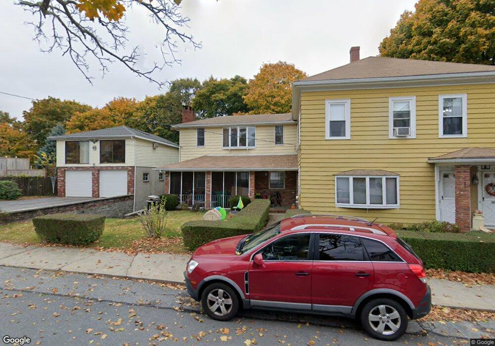
156 West St Clinton, MA 01510
Estimated Value: $500,612 - $682,000
6
Beds
3
Baths
2,904
Sq Ft
$212/Sq Ft
Est. Value
About This Home
This home is located at 156 West St, Clinton, MA 01510 and is currently estimated at $615,653, approximately $212 per square foot. 156 West St is a home located in Worcester County with nearby schools including Clinton Elementary School, Clinton Senior High School, and Clinton Middle School.
Ownership History
Date
Name
Owned For
Owner Type
Purchase Details
Closed on
Mar 27, 2018
Sold by
Radock Walter S and Favreau Barbara S
Bought by
Radock Walter S and Radock Deborah B
Current Estimated Value
Purchase Details
Closed on
Dec 18, 2017
Sold by
Radock Rt
Bought by
Radock Walter S and Favreau Barbara S
Purchase Details
Closed on
Nov 21, 2008
Sold by
Radock Frank J
Bought by
Radock Rt and Radock Walter S
Purchase Details
Closed on
Jun 2, 2008
Sold by
Radock Frank J and Radock Sally C
Bought by
Radock Frank J
Create a Home Valuation Report for This Property
The Home Valuation Report is an in-depth analysis detailing your home's value as well as a comparison with similar homes in the area
Home Values in the Area
Average Home Value in this Area
Purchase History
| Date | Buyer | Sale Price | Title Company |
|---|---|---|---|
| Radock Walter S | -- | -- | |
| Radock Walter S | -- | -- | |
| Radock Walter S | -- | -- | |
| Radock Rt | -- | -- | |
| Radock Rt | -- | -- | |
| Radock Frank J | -- | -- | |
| Radock Frank J | -- | -- |
Source: Public Records
Tax History
| Year | Tax Paid | Tax Assessment Tax Assessment Total Assessment is a certain percentage of the fair market value that is determined by local assessors to be the total taxable value of land and additions on the property. | Land | Improvement |
|---|---|---|---|---|
| 2025 | $6,211 | $467,000 | $107,900 | $359,100 |
| 2024 | $5,793 | $440,900 | $107,900 | $333,000 |
| 2023 | $5,472 | $409,300 | $98,100 | $311,200 |
| 2022 | $5,484 | $367,800 | $89,200 | $278,600 |
| 2021 | $4,994 | $313,300 | $84,900 | $228,400 |
| 2020 | $4,759 | $307,200 | $84,900 | $222,300 |
| 2019 | $4,495 | $282,200 | $82,500 | $199,700 |
| 2018 | $4,293 | $252,800 | $82,500 | $170,300 |
| 2017 | $4,204 | $237,900 | $82,500 | $155,400 |
| 2016 | $4,109 | $237,900 | $82,500 | $155,400 |
| 2015 | $3,767 | $226,100 | $80,100 | $146,000 |
| 2014 | $3,652 | $226,100 | $80,100 | $146,000 |
Source: Public Records
Map
Nearby Homes
- 459 High St
- 508 High St
- 93 Forest St
- 57 Clark St
- 719 Main St
- 861 Main St
- 25 Pearl St
- 30 Henry St Unit 30B
- 55 Sterling St Unit 306
- 55 Sterling St Unit 312
- 55 Sterling St Unit 314
- 55 Sterling St Unit 212
- 23 Ash St
- 101 Woodruff Rd
- 229 Sterling St
- 155 Cedar St
- 5 Catherine St
- 51 Rigby St
- 0 Parker Rd
- 46 Woodruff Rd
- 142 West St Unit 146
- 158 West St
- 164 West St Unit 166
- 164 West St Unit 1
- 151 West St
- 143 West St
- 159 West St
- 159 West St Unit 1
- 136 West St
- 130 West St Unit 136
- 468 High St
- 478 High St
- 488 High St
- 464 High St
- 165 West St
- 492 High St Unit 494
- 492 High St Unit 2
- 492 High St Unit EXTENSIO
- 500 High St
- 40 Plain St
Your Personal Tour Guide
Ask me questions while you tour the home.