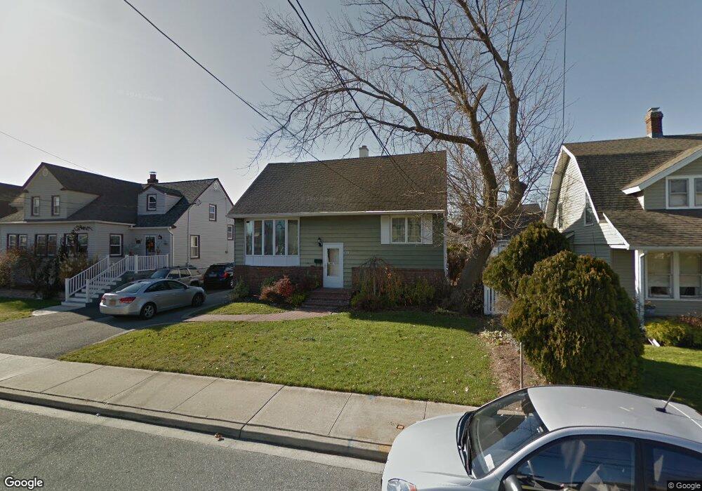
156 Westside Ave Freeport, NY 11520
Estimated Value: $572,000 - $643,571
4
Beds
2
Baths
1,439
Sq Ft
$422/Sq Ft
Est. Value
About This Home
This home is located at 156 Westside Ave, Freeport, NY 11520 and is currently estimated at $607,786, approximately $422 per square foot. 156 Westside Ave is a home located in Nassau County with nearby schools including Columbus Avenue School, Caroline G. Atkinson Intermediate School, and John W Dodd Middle School.
Ownership History
Date
Name
Owned For
Owner Type
Purchase Details
Closed on
Aug 5, 2021
Sold by
Carter Sandra and Carter Cecil
Bought by
Lawson Miguel and Lawson Audi Allen
Current Estimated Value
Home Financials for this Owner
Home Financials are based on the most recent Mortgage that was taken out on this home.
Original Mortgage
$390,299
Interest Rate
2.99%
Mortgage Type
FHA
Purchase Details
Closed on
Oct 23, 2017
Sold by
Osborne Sandrina
Bought by
Carter Sandra and Carter Cecil
Purchase Details
Closed on
Jan 14, 2008
Sold by
Stark Steven
Bought by
Osborne Sandrina
Create a Home Valuation Report for This Property
The Home Valuation Report is an in-depth analysis detailing your home's value as well as a comparison with similar homes in the area
Home Values in the Area
Average Home Value in this Area
Purchase History
| Date | Buyer | Sale Price | Title Company |
|---|---|---|---|
| Lawson Miguel | $397,500 | Titlevest Agency | |
| Carter Sandra | $325,000 | First American Title Insuran | |
| Osborne Sandrina | $405,450 | -- |
Source: Public Records
Mortgage History
| Date | Status | Borrower | Loan Amount |
|---|---|---|---|
| Previous Owner | Lawson Miguel | $390,299 |
Source: Public Records
Tax History
| Year | Tax Paid | Tax Assessment Tax Assessment Total Assessment is a certain percentage of the fair market value that is determined by local assessors to be the total taxable value of land and additions on the property. | Land | Improvement |
|---|---|---|---|---|
| 2025 | $8,086 | $375 | $138 | $237 |
| 2024 | $904 | $409 | $150 | $259 |
Source: Public Records
Map
Nearby Homes
- 160 Saint Marks Ave
- 173 Cedar St
- 587 S Bayview Ave
- 226 Westside Ave Unit B
- 463 S Bayview Ave
- 267 Roosevelt Ave
- 265 Roosevelt Ave
- 119 S Bay Ave
- 153 Westend Ave
- 210 Westend Ave Unit 8B
- 210 Westend Ave Unit 8A
- 322 Miller Ave
- 310 Miller Ave
- 292 Westside Ave
- 48 Saint Marks Ave
- 28 Florence Ave
- 403 S Bayview Ave
- 8 Florence Ave Unit 16C
- 51 Irving Ave
- 77 Hampton Place
- 154 Westside Ave
- 158 Westside Ave
- 152 Westside Ave
- 163 Saint Marks Ave
- 160 Westside Ave
- 161 Saint Marks Ave
- 165 Saint Marks Ave
- 159 Saint Marks Ave
- 169 Saint Marks Ave
- 148 Westside Ave
- 162 Westside Ave
- 151 Saint Marks Ave
- 161 Westside Ave
- 171 Saint Marks Ave
- 163 Westside Ave
- 155 Westside Ave
- Freeport Saint Marks Ave
- 146 Westside Ave
- 186 Westside Ave
- 175 Westside Ave
Your Personal Tour Guide
Ask me questions while you tour the home.