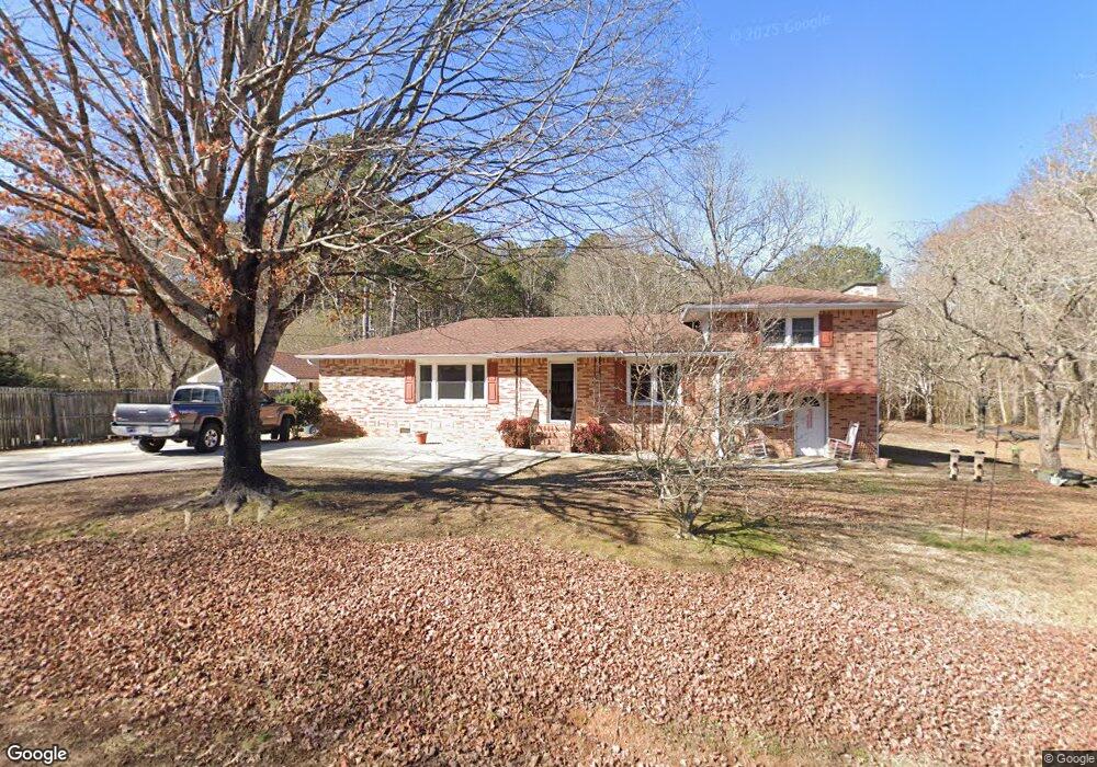
156 Westside Cir Dallas, GA 30157
Estimated Value: $256,000 - $349,000
3
Beds
2
Baths
1,560
Sq Ft
$188/Sq Ft
Est. Value
About This Home
This home is located at 156 Westside Cir, Dallas, GA 30157 and is currently estimated at $293,713, approximately $188 per square foot. 156 Westside Cir is a home with nearby schools including Lillian C. Poole Elementary School, South Paulding Middle School, and Paulding County High School.
Ownership History
Date
Name
Owned For
Owner Type
Purchase Details
Closed on
Aug 19, 2020
Sold by
Cook Delmar
Bought by
Camp Diane
Current Estimated Value
Purchase Details
Closed on
Mar 18, 2013
Sold by
Cook Delmar Life Estate
Purchase Details
Closed on
Dec 31, 2012
Sold by
Cook Dennis
Bought by
Cook Delmar Life Estate
Purchase Details
Closed on
Mar 10, 2009
Sold by
Cook Delmar
Bought by
Cook Dennis and Camp Diane
Purchase Details
Closed on
Jan 23, 2008
Sold by
Cook Delmar
Bought by
Camp Diane
Create a Home Valuation Report for This Property
The Home Valuation Report is an in-depth analysis detailing your home's value as well as a comparison with similar homes in the area
Home Values in the Area
Average Home Value in this Area
Purchase History
| Date | Buyer | Sale Price | Title Company |
|---|---|---|---|
| Camp Diane | -- | -- | |
| -- | -- | -- | |
| Cook Delmar Life Estate | -- | -- | |
| Cook Dennis | -- | -- | |
| Cook Delmar | -- | -- | |
| Cook Dennis | -- | -- | |
| Camp Diane | -- | -- | |
| -- | -- | -- | |
| Camp Diane | -- | -- | |
| Cook Dennis | -- | -- |
Source: Public Records
Tax History Compared to Growth
Tax History
| Year | Tax Paid | Tax Assessment Tax Assessment Total Assessment is a certain percentage of the fair market value that is determined by local assessors to be the total taxable value of land and additions on the property. | Land | Improvement |
|---|---|---|---|---|
| 2024 | $684 | $103,492 | $24,720 | $78,772 |
| 2023 | $797 | $101,872 | $23,880 | $77,992 |
| 2022 | $2,702 | $90,988 | $21,800 | $69,188 |
| 2021 | $2,020 | $68,016 | $17,760 | $50,256 |
| 2020 | $1,936 | $65,200 | $18,480 | $46,720 |
| 2019 | -- | $61,460 | $18,960 | $42,500 |
| 2018 | -- | $53,664 | $17,760 | $35,904 |
| 2017 | -- | $49,792 | $17,760 | $32,032 |
| 2016 | $407 | $39,828 | $16,880 | $22,948 |
Source: Public Records
Map
Nearby Homes
- 380 Buchanan Hwy
- 298 Buchanan Hwy
- 60 Westside Cir
- 0 Cole Lake Rd Unit 10607141
- 0 Cole Lake Rd Unit 7651259
- +/-1.0 Cole Lake Rd
- 107 Salem Place
- 47 Whitley Ct
- 105 Ashford Dr
- 1160 W Memorial Dr
- 1119 W Memorial Dr
- 1136 Cole Lake Rd
- 196 Pope Place
- 216 McMichen Rd
- 120 Remington Place Blvd
- 451 Lone Bear Path
- 102 Natalie Ct
- 212 Remington Place Blvd
- 305 Remington Place Blvd
- 0 Westside Cir
- 164 Westside Cir
- 157 Westside Cir
- 200 Westside Cir
- 350 Buchanan Hwy
- 361 Buchanan Hwy
- 387 Buchanan Hwy
- 90 Westside Cir
- 228 Westside Cir
- 106 Laurel Farms Ln
- 474 Buchanan Hwy
- 53 Franks Path
- 25 Westside Cir
- 54 Westside Cir
- 264 Buchanan Hwy
- 110 Westside Cir
- 494 Buchanan Hwy
- 24 Westside Cir
- 1259 West Ave
- 461 Buchanan Hwy