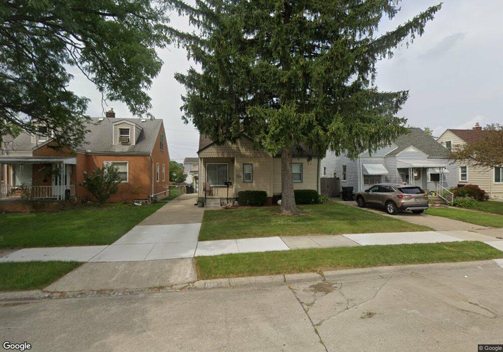
1560 Electric St Unit Bldg-Unit Wyandotte, MI 48192
Estimated Value: $181,000 - $209,000
--
Bed
2
Baths
963
Sq Ft
$206/Sq Ft
Est. Value
About This Home
This home is located at 1560 Electric St Unit Bldg-Unit, Wyandotte, MI 48192 and is currently estimated at $198,514, approximately $206 per square foot. 1560 Electric St Unit Bldg-Unit is a home located in Wayne County with nearby schools including Jefferson Elementary School, Woodrow Wilson School, and Roosevelt High School.
Ownership History
Date
Name
Owned For
Owner Type
Purchase Details
Closed on
Mar 15, 2018
Sold by
Arnold Joshua and Graham Sandy
Bought by
Avelar Nery Castro and Castro Samantha
Current Estimated Value
Purchase Details
Closed on
Jun 23, 2016
Sold by
Fannie Mae
Bought by
Arnold Joshua
Purchase Details
Closed on
Oct 1, 2015
Sold by
Goeolowski Fern and Gogolowski Christine
Bought by
Fannie Mae and Federal National Mortgage Association
Create a Home Valuation Report for This Property
The Home Valuation Report is an in-depth analysis detailing your home's value as well as a comparison with similar homes in the area
Home Values in the Area
Average Home Value in this Area
Purchase History
| Date | Buyer | Sale Price | Title Company |
|---|---|---|---|
| Avelar Nery Castro | $118,000 | First American Title | |
| Arnold Joshua | $65,000 | Attorney | |
| Fannie Mae | $57,175 | Attorney |
Source: Public Records
Tax History Compared to Growth
Tax History
| Year | Tax Paid | Tax Assessment Tax Assessment Total Assessment is a certain percentage of the fair market value that is determined by local assessors to be the total taxable value of land and additions on the property. | Land | Improvement |
|---|---|---|---|---|
| 2025 | $2,381 | $82,300 | $0 | $0 |
| 2024 | $2,381 | $75,400 | $0 | $0 |
| 2023 | $2,271 | $68,900 | $0 | $0 |
| 2022 | $2,631 | $61,400 | $0 | $0 |
| 2021 | $2,578 | $55,000 | $0 | $0 |
| 2020 | $2,543 | $49,300 | $0 | $0 |
| 2019 | $2,507 | $45,700 | $0 | $0 |
| 2018 | $1,794 | $41,400 | $0 | $0 |
| 2017 | $830 | $41,400 | $0 | $0 |
| 2016 | $1,845 | $37,600 | $0 | $0 |
| 2015 | $3,293 | $34,900 | $0 | $0 |
| 2013 | $3,190 | $31,900 | $0 | $0 |
| 2012 | $1,507 | $33,400 | $5,200 | $28,200 |
Source: Public Records
Map
Nearby Homes
- 1560 Electric St
- 1552 Electric St
- 1568 Electric St
- 1544 Electric St
- 1576 Electric St
- 1555 10th St
- 1536 Electric St
- 1584 Electric St
- 1563 10th St
- 1537 10th St
- 1545 10th St
- 1528 Electric St
- 1529 10th St
- 1575 10th St
- 1598 Electric St
- 925 Hudson St
- 915 Hudson St
- 1571 Electric St
- 933 Hudson St
- 1587 10th St