1560 Frank Cowart Ln Waycross, GA 31503
Estimated Value: $63,487 - $127,000
3
Beds
2
Baths
1,152
Sq Ft
$85/Sq Ft
Est. Value
About This Home
This home is located at 1560 Frank Cowart Ln, Waycross, GA 31503 and is currently estimated at $97,622, approximately $84 per square foot. 1560 Frank Cowart Ln is a home located in Ware County with nearby schools including Memorial Drive Elementary School, Waycross Middle School, and Ware County High School.
Ownership History
Date
Name
Owned For
Owner Type
Purchase Details
Closed on
Sep 22, 2016
Sold by
Yvonne
Bought by
Cowart Lonnie
Current Estimated Value
Home Financials for this Owner
Home Financials are based on the most recent Mortgage that was taken out on this home.
Original Mortgage
$38,000
Outstanding Balance
$17,570
Interest Rate
3.43%
Mortgage Type
New Conventional
Estimated Equity
$80,052
Create a Home Valuation Report for This Property
The Home Valuation Report is an in-depth analysis detailing your home's value as well as a comparison with similar homes in the area
Home Values in the Area
Average Home Value in this Area
Purchase History
| Date | Buyer | Sale Price | Title Company |
|---|---|---|---|
| Cowart Lonnie | $40,000 | -- |
Source: Public Records
Mortgage History
| Date | Status | Borrower | Loan Amount |
|---|---|---|---|
| Open | Cowart Lonnie | $38,000 |
Source: Public Records
Tax History Compared to Growth
Tax History
| Year | Tax Paid | Tax Assessment Tax Assessment Total Assessment is a certain percentage of the fair market value that is determined by local assessors to be the total taxable value of land and additions on the property. | Land | Improvement |
|---|---|---|---|---|
| 2024 | $675 | $24,697 | $2,116 | $22,581 |
| 2023 | $636 | $25,124 | $2,912 | $22,212 |
| 2022 | $725 | $25,124 | $2,912 | $22,212 |
| 2021 | $504 | $16,081 | $2,912 | $13,169 |
| 2020 | $489 | $15,418 | $2,912 | $12,506 |
| 2019 | $480 | $14,850 | $2,912 | $11,938 |
| 2018 | $466 | $14,282 | $2,912 | $11,370 |
| 2017 | $322 | $14,282 | $2,912 | $11,370 |
| 2016 | $322 | $13,722 | $2,352 | $11,370 |
| 2015 | $326 | $13,721 | $2,352 | $11,370 |
| 2014 | $325 | $13,722 | $2,352 | $11,370 |
| 2013 | -- | $13,721 | $2,352 | $11,369 |
Source: Public Records
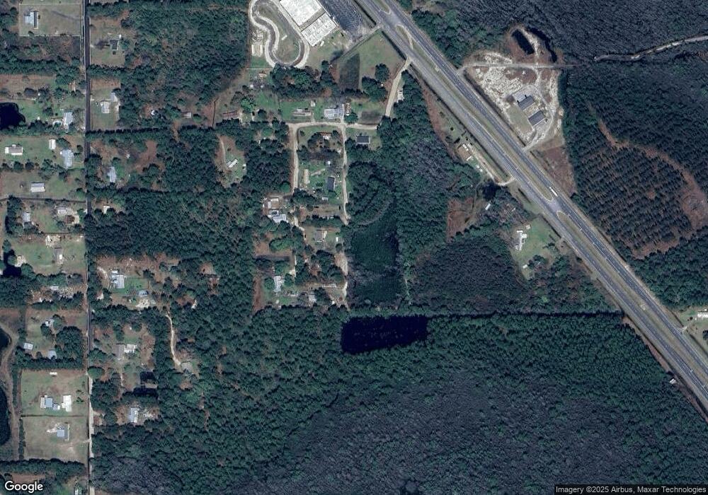
Map
Nearby Homes
- 4086 Memorial Dr
- 815 Aycock Rd
- 8.84 Strickland Rd
- 4807 Doe Rd
- 4408 Brunswick Hwy
- 300 Josephine Park Rd
- 4337 Whitehall Church Rd
- 4337 White Hall Church Rd
- 291 Sawdust Trail
- 00 Deergrass Ave
- Tract 4 County-Line Rd S
- 3153 Southwood Dr
- 0 Brunswick Hwy Unit 1648370
- 0 Swamp Rd
- 6498 Central Ave
- 0 Miles Still Rd
- 664 Saddle Cir
- 606 Stonewall Jackson Place
- 627 Saddle Cir
- 851 Carriage Ln
- 1530 Bar Pit Rd
- 1555 Frank Cowart Ln
- 1575 Frank Cowart Ln
- 1568 Bar Pit Rd
- 1504 Bar Pit Rd
- 1525 Mcclelland Rd
- 3690 Astoria Ln
- 1475 Mcclellan Rd
- 1520 Mcclelland Rd
- 3940 Memorial Dr
- 3802 Memorial Dr
- 3810 Memorial Dr
- 3906 Memorial Dr
- 3685 Astoria Ln
- 3968 Memorial Dr
- 1675 Astoria Rd
- 1655 Astoria Rd
- 1615 Astoria Rd
- 1551 Astoria Rd
- 1660 Astoria Rd