1560 Hewatt Rd SW Lilburn, GA 30047
Estimated Value: $464,000 - $701,000
3
Beds
3
Baths
2,677
Sq Ft
$232/Sq Ft
Est. Value
About This Home
This home is located at 1560 Hewatt Rd SW, Lilburn, GA 30047 and is currently estimated at $620,347, approximately $231 per square foot. 1560 Hewatt Rd SW is a home located in Gwinnett County with nearby schools including Brookwood Elementary School, Five Forks Middle School, and Brookwood High School.
Ownership History
Date
Name
Owned For
Owner Type
Purchase Details
Closed on
Nov 4, 2020
Sold by
Perkins Robert D
Bought by
Bl Brothers Investment Llc
Current Estimated Value
Purchase Details
Closed on
May 4, 2001
Sold by
Perkins Robert D
Bought by
Perkins Robert D and Perkins Zana A
Home Financials for this Owner
Home Financials are based on the most recent Mortgage that was taken out on this home.
Original Mortgage
$514,250
Interest Rate
6.95%
Mortgage Type
New Conventional
Purchase Details
Closed on
Oct 7, 1998
Sold by
Wade Ernest G and Wade Yvonne K
Bought by
Finley Doris S
Home Financials for this Owner
Home Financials are based on the most recent Mortgage that was taken out on this home.
Original Mortgage
$206,400
Interest Rate
6.76%
Mortgage Type
FHA
Create a Home Valuation Report for This Property
The Home Valuation Report is an in-depth analysis detailing your home's value as well as a comparison with similar homes in the area
Home Values in the Area
Average Home Value in this Area
Purchase History
| Date | Buyer | Sale Price | Title Company |
|---|---|---|---|
| Bl Brothers Investment Llc | $440,000 | -- | |
| Perkins Robert D | -- | -- | |
| Perkins Robert D | $605,000 | -- | |
| Finley Doris S | $258,000 | -- |
Source: Public Records
Mortgage History
| Date | Status | Borrower | Loan Amount |
|---|---|---|---|
| Previous Owner | Perkins Robert D | $514,250 | |
| Previous Owner | Finley Doris S | $206,400 |
Source: Public Records
Tax History Compared to Growth
Tax History
| Year | Tax Paid | Tax Assessment Tax Assessment Total Assessment is a certain percentage of the fair market value that is determined by local assessors to be the total taxable value of land and additions on the property. | Land | Improvement |
|---|---|---|---|---|
| 2025 | -- | $226,640 | $139,280 | $87,360 |
| 2024 | $8,424 | $226,640 | $139,280 | $87,360 |
| 2023 | $8,424 | $226,640 | $139,280 | $87,360 |
| 2022 | $5,946 | $157,000 | $69,640 | $87,360 |
| 2021 | $4,406 | $157,000 | $69,640 | $87,360 |
| 2020 | $4,406 | $157,000 | $69,640 | $87,360 |
| 2019 | $4,406 | $115,480 | $62,200 | $53,280 |
| 2018 | $4,412 | $115,480 | $62,200 | $53,280 |
| 2016 | $4,428 | $115,480 | $62,200 | $53,280 |
| 2015 | $4,482 | $115,480 | $62,200 | $53,280 |
| 2014 | $4,499 | $115,280 | $51,960 | $63,320 |
Source: Public Records
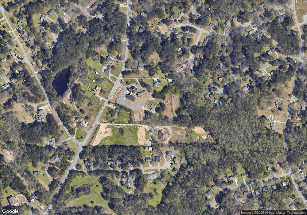
Map
Nearby Homes
- 3207 Aspen Cir SW
- 3173 Falconhurst Dr SW
- 3331 Manchester Dr SW
- 1721 Bruckner Ct
- 3063 Bruckner Blvd
- 3190 Wood Springs Trace SW
- 1845 Lisa Springs Dr
- 1904 Britt Dr
- 1795 Elmwood Cir
- 1220 Edgebrook Ln
- 1314 Elk Terrace SW
- 1293 Elk Terrace SW
- 1221 Martin Nash Rd SW
- Kenwood Plan at Watson Park
- Stockbridge Plan at Watson Park
- Aiken Plan at Watson Park
- Lawrence Plan at Watson Park
- Easton Plan at Watson Park
- 1953 Watson Park Dr
- 3213 Jack Russell Run
- 3223 Jack Russell Run
- 3233 Jack Russell Run
- 3203 Jack Russell Run
- 3243 Jack Russell Run Unit 6
- 3243 Jack Russell Run
- 3202 Jack Russell Run
- 3253 Jack Russell Run
- 3232 Jack Russell Run
- 1558 Hewatt Rd SW
- 1598 Hewatt Rd SW
- 1540 Hewatt Rd SW
- 1570 Hewatt Rd SW
- 3273 Jack Russell Run
- 3170 Chimney Ridge W
- 1528 Hewatt Rd SW
- 3171 Chimney Ridge W Unit 1
- 1549 Skuttle Cove
- 3283 Jack Russell Run
- 1548 Skuttle Cove