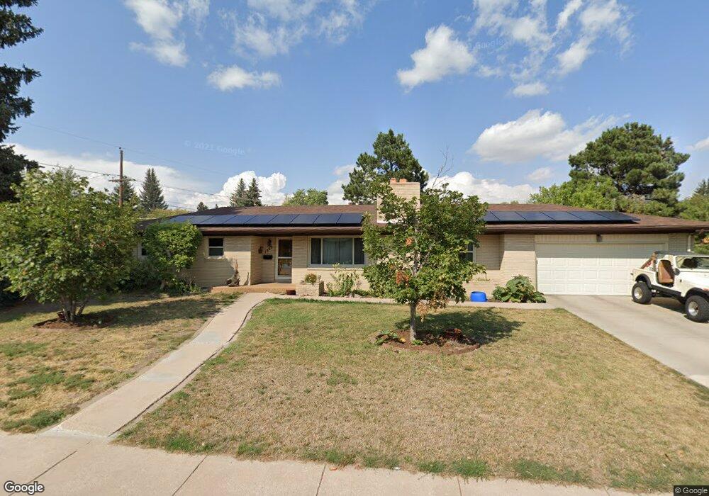
1560 Newton Dr Cheyenne, WY 82001
Estimated Value: $388,000 - $444,000
--
Bed
--
Bath
1,395
Sq Ft
$298/Sq Ft
Est. Value
About This Home
This home is located at 1560 Newton Dr, Cheyenne, WY 82001 and is currently estimated at $416,031, approximately $298 per square foot. 1560 Newton Dr is a home located in Laramie County with nearby schools including Henderson Elementary School, Carey Junior High School, and East High School.
Ownership History
Date
Name
Owned For
Owner Type
Purchase Details
Closed on
Jan 31, 2003
Sold by
Vanlancker Jerome E and Vanlancker Joan M
Bought by
Vanlancker Jason T and Vanlancker Annabelle C
Current Estimated Value
Home Financials for this Owner
Home Financials are based on the most recent Mortgage that was taken out on this home.
Original Mortgage
$148,835
Outstanding Balance
$63,230
Interest Rate
5.84%
Mortgage Type
VA
Estimated Equity
$352,801
Purchase Details
Closed on
Nov 29, 2001
Sold by
Humphrey Camille B
Bought by
Vanlancker Jerome E and Vanlancker Joan M
Home Financials for this Owner
Home Financials are based on the most recent Mortgage that was taken out on this home.
Original Mortgage
$95,500
Interest Rate
6.57%
Create a Home Valuation Report for This Property
The Home Valuation Report is an in-depth analysis detailing your home's value as well as a comparison with similar homes in the area
Home Values in the Area
Average Home Value in this Area
Purchase History
| Date | Buyer | Sale Price | Title Company |
|---|---|---|---|
| Vanlancker Jason T | -- | -- | |
| Vanlancker Jerome E | -- | -- |
Source: Public Records
Mortgage History
| Date | Status | Borrower | Loan Amount |
|---|---|---|---|
| Open | Vanlancker Jason T | $148,835 | |
| Closed | Vanlancker Jerome E | $95,500 |
Source: Public Records
Tax History Compared to Growth
Tax History
| Year | Tax Paid | Tax Assessment Tax Assessment Total Assessment is a certain percentage of the fair market value that is determined by local assessors to be the total taxable value of land and additions on the property. | Land | Improvement |
|---|---|---|---|---|
| 2025 | $2,931 | $34,497 | $4,466 | $30,031 |
| 2024 | $2,931 | $44,448 | $5,955 | $38,493 |
| 2023 | $2,999 | $45,418 | $5,955 | $39,463 |
| 2022 | $2,560 | $38,461 | $5,955 | $32,506 |
| 2021 | $2,437 | $36,688 | $5,955 | $30,733 |
| 2020 | $2,222 | $30,807 | $5,955 | $24,852 |
| 2019 | $1,985 | $27,492 | $5,955 | $21,537 |
| 2018 | $1,776 | $24,831 | $5,455 | $19,376 |
| 2017 | $1,760 | $24,387 | $5,455 | $18,932 |
| 2016 | $1,655 | $22,929 | $5,121 | $17,808 |
| 2015 | $1,543 | $21,356 | $5,121 | $16,235 |
| 2014 | $1,445 | $19,877 | $5,121 | $14,756 |
Source: Public Records
Map
Nearby Homes
- 3561 Boston Rd
- 3561 Amherst Rd
- 1770 Andover Dr
- 1502 Andover Dr
- 1763 Milton Dr
- 1210 E 5th Ave
- 1859 Cheshire Dr
- 3700 Essex Rd
- 3533 Duff Ave
- 1847 Milton Dr
- 1120 Black Ct
- 1958 Newton Dr
- 2114 Rollins Ave
- 1214 E 23rd St
- 1920 E 22nd St
- 2004 E 22nd St
- 1208 E 22nd St
- 2013 Dunn Ave
- 1115 E 23rd St
- 1100 E 22nd St
- 3612 Concord Rd
- 3556 Concord Rd
- 3616 Concord Rd
- 3552 Concord Rd
- 3611 Concord Rd
- 1611 Newton Dr
- 1540 Newton Dr
- 1575 Andover Dr
- 1569 Andover Dr
- 3617 Concord Rd
- 3624 Concord Rd
- 1701 Newton Dr
- 1563 Andover Dr
- 3548 Concord Rd
- 3565 Boston Rd
- 1532 Newton Dr
- 1555 Andover Dr
- 3545 Concord Rd
- 3542 Concord Rd
- 3555 Boston Rd