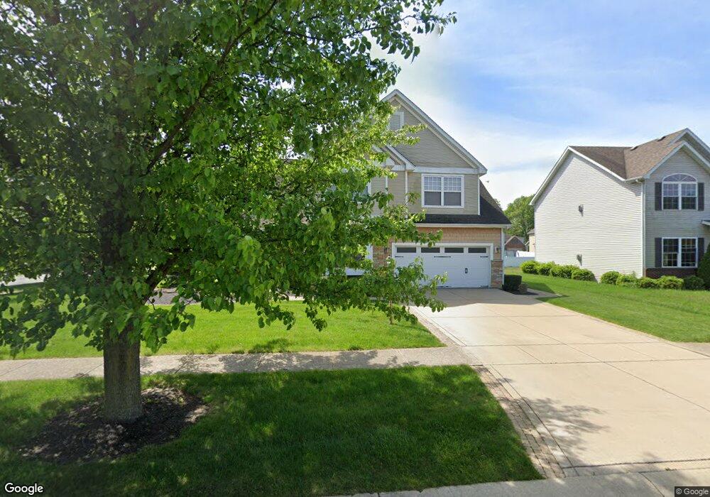
1560 Sand Wedge Cir Chesterton, IN 46304
Estimated Value: $416,846 - $499,000
4
Beds
3
Baths
2,646
Sq Ft
$175/Sq Ft
Est. Value
About This Home
This home is located at 1560 Sand Wedge Cir, Chesterton, IN 46304 and is currently estimated at $462,212, approximately $174 per square foot. 1560 Sand Wedge Cir is a home located in Porter County with nearby schools including Westchester Intermediate School, Newton Yost Elementary School, and Chesterton Middle School.
Ownership History
Date
Name
Owned For
Owner Type
Purchase Details
Closed on
Feb 26, 2008
Sold by
Barath James K and Pham Phuong Thi
Bought by
Barath James K and Barath Family Trust
Current Estimated Value
Purchase Details
Closed on
May 5, 2006
Sold by
Aldred Group Ltd
Bought by
Barath James K and Pham Phuong Thi
Home Financials for this Owner
Home Financials are based on the most recent Mortgage that was taken out on this home.
Original Mortgage
$244,000
Outstanding Balance
$141,234
Interest Rate
6.39%
Mortgage Type
Fannie Mae Freddie Mac
Estimated Equity
$320,978
Purchase Details
Closed on
Feb 8, 2005
Sold by
Mitchell Enterprises Llc
Bought by
The Aldred Group Ltd
Create a Home Valuation Report for This Property
The Home Valuation Report is an in-depth analysis detailing your home's value as well as a comparison with similar homes in the area
Home Values in the Area
Average Home Value in this Area
Purchase History
| Date | Buyer | Sale Price | Title Company |
|---|---|---|---|
| Barath James K | -- | None Available | |
| Barath James K | -- | Ticor Title Insurance | |
| The Aldred Group Ltd | -- | Ticor Title Ins Co |
Source: Public Records
Mortgage History
| Date | Status | Borrower | Loan Amount |
|---|---|---|---|
| Open | Barath James K | $244,000 |
Source: Public Records
Tax History Compared to Growth
Tax History
| Year | Tax Paid | Tax Assessment Tax Assessment Total Assessment is a certain percentage of the fair market value that is determined by local assessors to be the total taxable value of land and additions on the property. | Land | Improvement |
|---|---|---|---|---|
| 2024 | $6,392 | $400,700 | $61,400 | $339,300 |
| 2023 | $4,035 | $380,500 | $56,600 | $323,900 |
| 2022 | $4,015 | $354,600 | $56,600 | $298,000 |
| 2021 | $3,704 | $325,200 | $56,600 | $268,600 |
| 2020 | $3,356 | $294,800 | $51,800 | $243,000 |
| 2019 | $3,391 | $297,600 | $51,800 | $245,800 |
| 2018 | $3,093 | $271,700 | $51,800 | $219,900 |
| 2017 | $3,302 | $287,100 | $51,800 | $235,300 |
| 2016 | $3,382 | $290,200 | $51,700 | $238,500 |
| 2014 | $3,162 | $280,000 | $49,000 | $231,000 |
| 2013 | -- | $265,600 | $49,300 | $216,300 |
Source: Public Records
Map
Nearby Homes
- 1083 Pearson Rd
- 2500 Pradera Trail
- 2420 Pradera Trail
- 2302 Texas St
- 2179 W 1100 N
- The Willow Plan at The 1100 Woods
- The Revere Plan at The 1100 Woods
- The Prescott Plan at The 1100 Woods
- The Madeleine Plan at The 1100 Woods
- The Gloria Plan at The 1100 Woods
- The Chestnut Plan at The 1100 Woods
- The Cedar Creek Plan at The 1100 Woods
- The Carmichael Plan at The 1100 Woods
- The Basset Grove Plan at The 1100 Woods
- The Avalon Plan at The 1100 Woods
- The Aspen Plan at The 1100 Woods
- 2299 Pradera Trail
- 2218 Pradera Trail
- 2382 Dakota St
- 2166 Pradera Trail
- 1560 Sandwedge Cir
- 1550 Sandwedge Cir
- 1550 Birdie Way
- 1551 Sandwedge Cir
- 1540 Sandwedge Cir
- 1540 Sand Wedge Cir
- 1531 Birdie Way
- 1541 Birdie Way
- 1560 Birdie Way
- 1521 Birdie Way
- 2560 Dogleg Dr
- 1521 Sandwedge Cir
- 2580 Dogleg Dr
- 1551 Birdie Way
- 1500 Birdie Way
- 1530 Sandwedge Cir
- 1511 Birdie Way
- 2600 Dogleg Dr
- 1561 Birdie Way
- 1570 Birdie Way