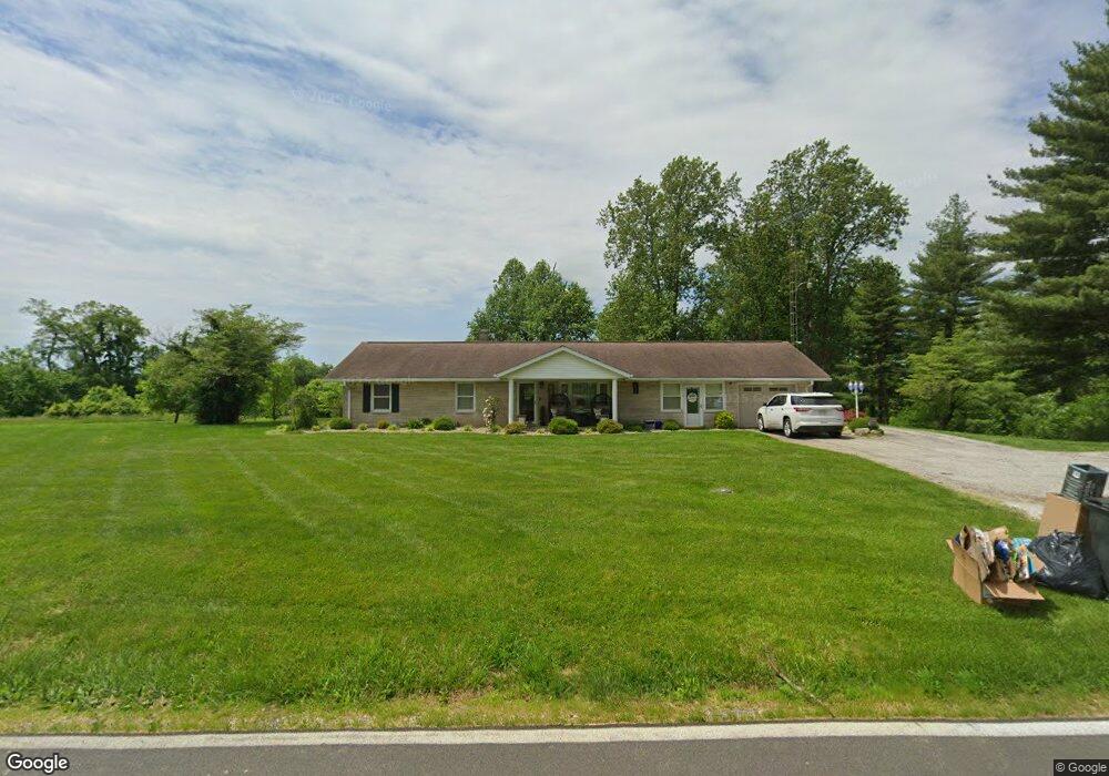
1560 State Road 550 Loogootee, IN 47553
Estimated Value: $248,000 - $342,246
3
Beds
2
Baths
1,428
Sq Ft
$207/Sq Ft
Est. Value
About This Home
This home is located at 1560 State Road 550, Loogootee, IN 47553 and is currently estimated at $295,812, approximately $207 per square foot. 1560 State Road 550 is a home located in Martin County with nearby schools including Loogootee Elementary School, Loogootee Middle School, and Loogootee Junior/Senior High School.
Ownership History
Date
Name
Owned For
Owner Type
Purchase Details
Closed on
Dec 23, 2019
Sold by
Risacher Angela C
Bought by
Mersinger James S and Mersinger Megan
Current Estimated Value
Home Financials for this Owner
Home Financials are based on the most recent Mortgage that was taken out on this home.
Original Mortgage
$229,000
Outstanding Balance
$201,896
Interest Rate
3.6%
Mortgage Type
New Conventional
Estimated Equity
$93,916
Create a Home Valuation Report for This Property
The Home Valuation Report is an in-depth analysis detailing your home's value as well as a comparison with similar homes in the area
Home Values in the Area
Average Home Value in this Area
Purchase History
| Date | Buyer | Sale Price | Title Company |
|---|---|---|---|
| Mersinger James S | -- | None Available |
Source: Public Records
Mortgage History
| Date | Status | Borrower | Loan Amount |
|---|---|---|---|
| Open | Mersinger James S | $229,000 |
Source: Public Records
Tax History Compared to Growth
Tax History
| Year | Tax Paid | Tax Assessment Tax Assessment Total Assessment is a certain percentage of the fair market value that is determined by local assessors to be the total taxable value of land and additions on the property. | Land | Improvement |
|---|---|---|---|---|
| 2024 | $2,016 | $302,900 | $27,500 | $275,400 |
| 2023 | $2,016 | $284,200 | $26,800 | $257,400 |
| 2022 | $2,336 | $274,700 | $26,200 | $248,500 |
| 2021 | $2,378 | $238,800 | $24,100 | $214,700 |
| 2020 | $2,284 | $230,600 | $23,300 | $207,300 |
| 2019 | $2,129 | $220,800 | $22,400 | $198,400 |
| 2018 | $2,214 | $217,100 | $22,000 | $195,100 |
| 2017 | $827 | $133,300 | $21,700 | $111,600 |
| 2016 | $783 | $131,000 | $21,500 | $109,500 |
| 2014 | $667 | $124,800 | $20,600 | $104,200 |
| 2013 | -- | $121,300 | $20,600 | $100,700 |
Source: Public Records
Map
Nearby Homes
- 690 E Southridge Rd
- 214 Cedar St
- 102 Eastgate Ave
- 1559 Scenic Hill Rd
- 508 E Broadway St
- 513 Park St
- 108 SW 2nd St
- 98+/- Acres U S 231
- 501 E Main St
- 803 & 805 Reason Ave Unit INCLUDES 111 TRUELOV
- 419 SW 3rd St
- 0 Friends Creek Rd
- 106 Queen St
- Lot 24 Country Court S D V
- Lot 28 Country Court S D V
- Lot 23 Country Court S D V
- Lot 12 Country Court S D V
- Lot 6 Country Court S D V
- Lot 16 Country Court S D V
- Lot 20 Country Court S D V
- 1532 State Road 550
- 1492 State Road 550
- 1638 State Road 550
- 10759 Hart Rd
- 1478 State Road 550
- 1250 State Road 550
- 10724 Hart Rd
- 1425 State Road 550
- 10819 Brooks House Rd
- 1769 State Road 550
- 1442 State Road 550
- 1468 State Road 550
- 10949 Hart Rd
- 1734 State Road 550
- 1413 State Road 550
- 10760 Brooks House Rd
- 1795 State Road 550
- 1830 State Road 550
- 1830 State Road 550
- 1830 State Road 550