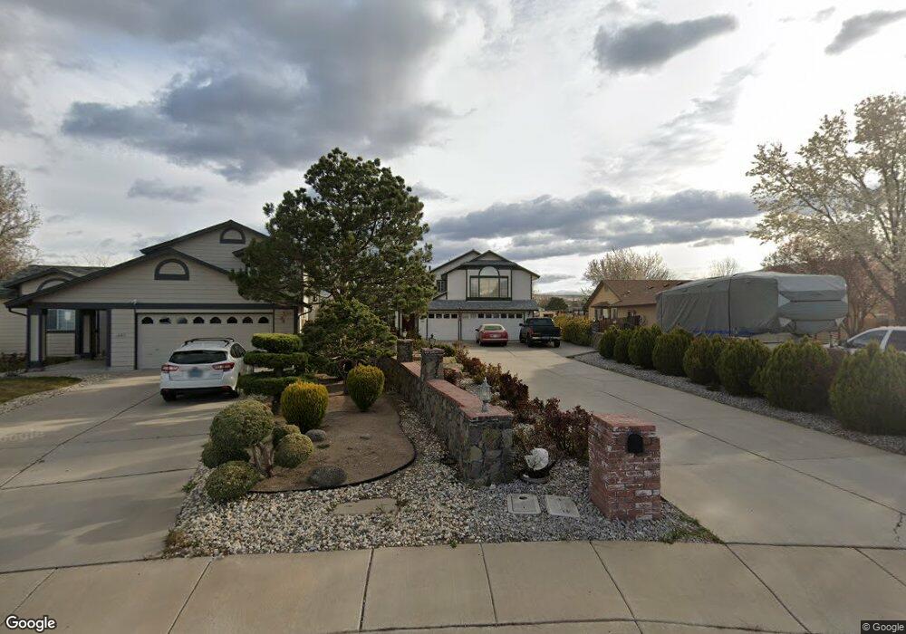
1560 Union Ct Sparks, NV 89434
O'Callaghan NeighborhoodEstimated Value: $605,000 - $711,000
4
Beds
3
Baths
2,748
Sq Ft
$243/Sq Ft
Est. Value
About This Home
This home is located at 1560 Union Ct, Sparks, NV 89434 and is currently estimated at $667,635, approximately $242 per square foot. 1560 Union Ct is a home located in Washoe County with nearby schools including Katherine Dunn Elementary School, George L Dilworth Middle School, and Edward C Reed High School.
Ownership History
Date
Name
Owned For
Owner Type
Purchase Details
Closed on
Aug 4, 1995
Sold by
Bailey and Bailey Mcgah
Bought by
Tonata Luke N and Tonata Naomi
Current Estimated Value
Home Financials for this Owner
Home Financials are based on the most recent Mortgage that was taken out on this home.
Original Mortgage
$169,150
Interest Rate
7.61%
Create a Home Valuation Report for This Property
The Home Valuation Report is an in-depth analysis detailing your home's value as well as a comparison with similar homes in the area
Home Values in the Area
Average Home Value in this Area
Purchase History
| Date | Buyer | Sale Price | Title Company |
|---|---|---|---|
| Tonata Luke N | -- | Stewart Title |
Source: Public Records
Mortgage History
| Date | Status | Borrower | Loan Amount |
|---|---|---|---|
| Closed | Tonata Luke N | $169,150 |
Source: Public Records
Tax History Compared to Growth
Tax History
| Year | Tax Paid | Tax Assessment Tax Assessment Total Assessment is a certain percentage of the fair market value that is determined by local assessors to be the total taxable value of land and additions on the property. | Land | Improvement |
|---|---|---|---|---|
| 2025 | $4,338 | $129,064 | $36,309 | $92,755 |
| 2024 | $4,338 | $128,763 | $34,361 | $94,402 |
| 2023 | $4,017 | $122,764 | $33,920 | $88,844 |
| 2022 | $3,720 | $101,472 | $27,305 | $74,167 |
| 2021 | $3,462 | $94,958 | $20,837 | $74,121 |
| 2020 | $3,256 | $95,285 | $20,764 | $74,521 |
| 2019 | $3,100 | $92,472 | $19,882 | $72,590 |
| 2018 | $2,959 | $85,662 | $14,663 | $70,999 |
| 2017 | $2,841 | $84,768 | $13,304 | $71,464 |
| 2016 | $2,769 | $84,983 | $11,981 | $73,002 |
| 2015 | $2,763 | $83,262 | $10,106 | $73,156 |
| 2014 | $2,522 | $74,037 | $8,636 | $65,401 |
| 2013 | -- | $66,163 | $6,395 | $59,768 |
Source: Public Records
Map
Nearby Homes
- 1770 Burnside Dr
- 1332 Coachman Ct
- 1655 Sabatino Dr
- 1728 Bluehaven Dr
- 1990 Fargo Way
- 1544 Woodhaven Ln
- 1218 Junction Dr
- 1280 O'Callaghan Dr
- 2252 Sycamore Glen Dr
- 2002 Wabash Cir
- 1970 Woodhaven Ln
- 2435 Sycamore Glen Dr Unit 2
- 2407 Sunny Slope Dr Unit 1
- 1897 Bonita Vista Dr
- 2688 Laguna Way
- 2763 Blossom View Dr
- 675 Parlanti Ln Unit 52
- 675 Parlanti Ln Unit 124
- 675 Parlanti Ln Unit 42
- 675 Parlanti Ln
- 1570 Union Ct
- 1330 Burnside Ct
- 1550 Union Ct
- 1331 Burnside Ct
- 1580 Union Ct
- 1350 Burnside Ct
- 1530 Union Ct
- 1351 Burnside Ct
- 1370 Burnside Ct
- 1590 Union Ct
- 1371 Burnside Ct
- 1390 Burnside Ct
- 1510 Union Ct
- 1555 Union Ct
- 1302 Union St
- 1391 Burnside Ct
- 1420 Burnside Ct
- 1322 Union St
- 1421 Burnside Ct
- 1505 Union Ct