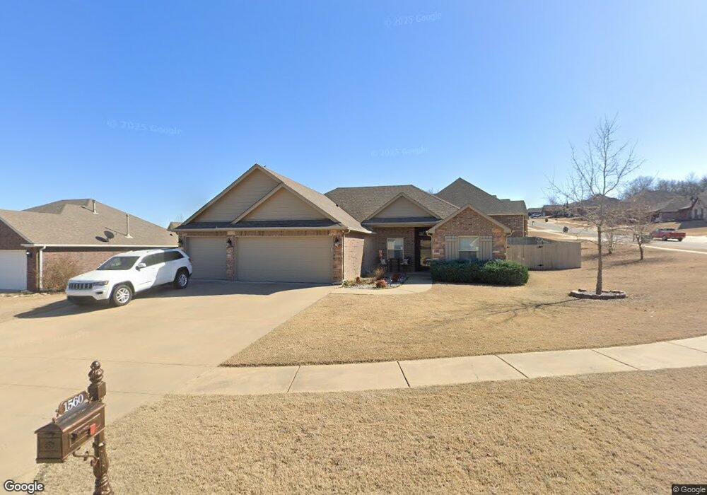
1560 W Burnham Ave Sapulpa, OK 74066
Estimated Value: $242,129 - $291,000
3
Beds
2
Baths
1,555
Sq Ft
$168/Sq Ft
Est. Value
About This Home
This home is located at 1560 W Burnham Ave, Sapulpa, OK 74066 and is currently estimated at $261,532, approximately $168 per square foot. 1560 W Burnham Ave is a home with nearby schools including Sapulpa Middle School, Sapulpa Junior High School, and Sapulpa High School.
Ownership History
Date
Name
Owned For
Owner Type
Purchase Details
Closed on
Mar 6, 2015
Sold by
Freedom Homes Oklahoma Llc
Bought by
Dale Robert L and Dale Pamela J
Current Estimated Value
Home Financials for this Owner
Home Financials are based on the most recent Mortgage that was taken out on this home.
Original Mortgage
$138,400
Outstanding Balance
$105,690
Interest Rate
3.68%
Mortgage Type
New Conventional
Estimated Equity
$155,842
Purchase Details
Closed on
Oct 28, 2014
Sold by
The Lakes At Jefferson Heights Llc
Bought by
Freedom Homes Oklahoma Llc
Home Financials for this Owner
Home Financials are based on the most recent Mortgage that was taken out on this home.
Original Mortgage
$131,158
Interest Rate
4.21%
Mortgage Type
Construction
Create a Home Valuation Report for This Property
The Home Valuation Report is an in-depth analysis detailing your home's value as well as a comparison with similar homes in the area
Home Values in the Area
Average Home Value in this Area
Purchase History
| Date | Buyer | Sale Price | Title Company |
|---|---|---|---|
| Dale Robert L | $173,000 | Executives Titie & Escrow Co | |
| Freedom Homes Oklahoma Llc | $35,000 | None Available |
Source: Public Records
Mortgage History
| Date | Status | Borrower | Loan Amount |
|---|---|---|---|
| Open | Dale Robert L | $138,400 | |
| Previous Owner | Freedom Homes Oklahoma Llc | $131,158 |
Source: Public Records
Tax History Compared to Growth
Tax History
| Year | Tax Paid | Tax Assessment Tax Assessment Total Assessment is a certain percentage of the fair market value that is determined by local assessors to be the total taxable value of land and additions on the property. | Land | Improvement |
|---|---|---|---|---|
| 2025 | $3,005 | $25,236 | $3,150 | $22,086 |
| 2024 | $2,922 | $24,034 | $3,000 | $21,034 |
| 2023 | $2,922 | $22,890 | $3,000 | $19,890 |
| 2022 | $2,504 | $21,800 | $3,000 | $18,800 |
| 2021 | $2,463 | $20,762 | $3,000 | $17,762 |
| 2020 | $2,491 | $21,119 | $3,000 | $18,119 |
| 2019 | $2,579 | $21,759 | $3,000 | $18,759 |
| 2018 | $2,508 | $20,723 | $3,000 | $17,723 |
| 2017 | $2,495 | $20,723 | $3,000 | $17,723 |
| 2016 | $2,372 | $20,723 | $3,000 | $17,723 |
| 2015 | -- | $19,522 | $3,000 | $16,522 |
| 2014 | -- | $264 | $264 | $0 |
Source: Public Records
Map
Nearby Homes
- 1755 S Stephanie St
- 1776 S Stephanie St
- 1515 Emily Cir
- 1401 Panther Ln
- 1330 Panther Ln
- 13632 W 122nd St S
- 1160 W Keeling Ave
- 1120 W Keeling Ave
- 2000 W Taft Ave
- 21 Johnson Dr
- 1203 Johnson Dr
- 10 Sahoma Lake Rd
- 1915 S Muskogee St
- 920 S Oklahoma St
- 215 S Hawthorne St
- 909 S Oklahoma St
- 706 S Oklahoma St
- 1965 S Scott St
- 408 S Muskogee St
- 9043 S 152nd West Ave
- 1540 W Burnham Ave
- 1530 W Burnham Ave
- 1565 W Burnham Ave
- 1625 S Codi St
- 1585 W Burnham Ave
- 1545 W Burnham Ave
- 1535 W Burnham Ave
- 1670 S Stephanie St
- 1600 W Burnham Ave
- 1500 W Burnham Ave
- 1671 S Stephanie St
- 1667 S Stephanie St
- 1675 S Codi St
- 1580 S Codi St
- 1600 S Codi St
- 1492 W Burnham Ave
- 1698 S Stephanie St
- 1725 S Codi St
- 1480 W Burnham Ave
- 1690 S Codi St