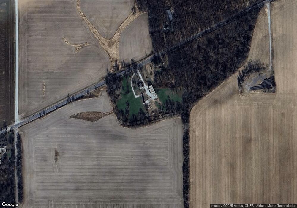
15605 Belshaw Rd Unit L Lowell, IN 46356
West Creek NeighborhoodEstimated Value: $328,000 - $464,000
3
Beds
2
Baths
1,999
Sq Ft
$198/Sq Ft
Est. Value
About This Home
This home is located at 15605 Belshaw Rd Unit L, Lowell, IN 46356 and is currently estimated at $395,797, approximately $197 per square foot. 15605 Belshaw Rd Unit L is a home located in Lake County with nearby schools including Lowell Middle School and Lowell Senior High School.
Ownership History
Date
Name
Owned For
Owner Type
Purchase Details
Closed on
Feb 10, 2025
Sold by
Huizenga Courtney and Zandstra Ryan H
Bought by
Huizenga Luke and Huizenga Courtney
Current Estimated Value
Purchase Details
Closed on
Nov 1, 2019
Sold by
Lareau Reid T
Bought by
Zandstra Courtney E and Zandstra Ryan H
Home Financials for this Owner
Home Financials are based on the most recent Mortgage that was taken out on this home.
Original Mortgage
$133,125
Interest Rate
3.7%
Mortgage Type
New Conventional
Purchase Details
Closed on
Sep 3, 2019
Sold by
Lareau Reid T and Lareau Kathy R
Bought by
Lareau Reid T
Home Financials for this Owner
Home Financials are based on the most recent Mortgage that was taken out on this home.
Original Mortgage
$133,125
Interest Rate
3.7%
Mortgage Type
New Conventional
Create a Home Valuation Report for This Property
The Home Valuation Report is an in-depth analysis detailing your home's value as well as a comparison with similar homes in the area
Home Values in the Area
Average Home Value in this Area
Purchase History
| Date | Buyer | Sale Price | Title Company |
|---|---|---|---|
| Huizenga Luke | -- | None Listed On Document | |
| Zandstra Courtney E | -- | Community Title Company | |
| Lareau Reid T | -- | Community Title Company |
Source: Public Records
Mortgage History
| Date | Status | Borrower | Loan Amount |
|---|---|---|---|
| Previous Owner | Zandstra Courtney E | $133,125 |
Source: Public Records
Tax History Compared to Growth
Tax History
| Year | Tax Paid | Tax Assessment Tax Assessment Total Assessment is a certain percentage of the fair market value that is determined by local assessors to be the total taxable value of land and additions on the property. | Land | Improvement |
|---|---|---|---|---|
| 2024 | $4,407 | $253,400 | $64,600 | $188,800 |
| 2023 | $2,344 | $233,900 | $44,800 | $189,100 |
| 2022 | $2,344 | $239,200 | $44,000 | $195,200 |
| 2021 | $2,052 | $212,500 | $42,600 | $169,900 |
| 2020 | $1,833 | $200,100 | $42,600 | $157,500 |
| 2019 | $1,910 | $197,800 | $43,100 | $154,700 |
| 2018 | $3,129 | $195,400 | $43,200 | $152,200 |
| 2017 | $2,946 | $172,200 | $33,700 | $138,500 |
| 2016 | $2,656 | $160,000 | $33,900 | $126,100 |
| 2014 | $2,540 | $154,200 | $34,100 | $120,100 |
| 2013 | $2,652 | $153,900 | $33,500 | $120,400 |
Source: Public Records
Map
Nearby Homes
- 6500 N 16750e Rd
- 20508 Wicker Blvd
- 10210 N 16750e Rd
- 6125 Tulip Ln
- 3398 N 17240e Rd
- 16440 Wicker Ave
- 3217 N 17120e Rd
- 3239 3rd Ave
- 23713 Euclid St Unit 10
- 23901 Euclid St
- 15598 E 3500n Rd
- 17635 White Oak Ave
- 17448 Kosciusko Place
- 7964 W 205th Ave
- 18883 Oxford Ct
- 18610 Lancer St
- 8817 Graystone Dr
- 8723 Graystone Dr
- 18677 Chatham Ln
- 18663 Chatham Ln
- 15605 Belshaw Rd
- 15601 Belshaw Rd
- 15616 Belshaw Rd
- 17966 E State Route 17
- 15320 Belshaw Rd
- 17926 E State Route 17
- 7792 N 18000e Rd
- 14925 Belshaw Rd
- 21070 Sheffield Ave
- 21008 Sheffield Ave
- 14905 Belshaw Rd
- 17790 E State Route 17
- 21006 Sheffield Ave
- 21004 Sheffield Ave
- 14933 Belshaw Rd
- 20910 Sheffield Ave
- 17706 E State Route 17
- 14705 Belshaw Rd
- 14060 Belshaw Rd
- 14602 Belshaw Rd
