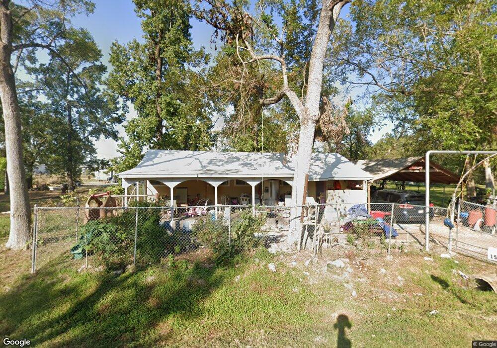
15607 Alenzo Dr Houston, TX 77032
Greenspoint NeighborhoodEstimated Value: $58,000 - $176,000
1
Bed
1
Bath
640
Sq Ft
$175/Sq Ft
Est. Value
About This Home
This home is located at 15607 Alenzo Dr, Houston, TX 77032 and is currently estimated at $111,787, approximately $174 per square foot. 15607 Alenzo Dr is a home located in Harris County with nearby schools including Calvert Elementary School, Nimitz Ninth Grade School, and Teague Middle School.
Ownership History
Date
Name
Owned For
Owner Type
Purchase Details
Closed on
Mar 25, 2010
Sold by
Ramirez Sergio Gonzalez and Sebastiana Veronica
Bought by
Garcia Tomas Chitic and Garcia Candida
Current Estimated Value
Purchase Details
Closed on
Feb 5, 2008
Sold by
Grieco Rita
Bought by
Ramirez Sergio Gonzalez
Purchase Details
Closed on
Mar 13, 2007
Sold by
Grieco Rita F
Bought by
Darden Jack
Create a Home Valuation Report for This Property
The Home Valuation Report is an in-depth analysis detailing your home's value as well as a comparison with similar homes in the area
Home Values in the Area
Average Home Value in this Area
Purchase History
| Date | Buyer | Sale Price | Title Company |
|---|---|---|---|
| Garcia Tomas Chitic | -- | None Available | |
| Ramirez Sergio Gonzalez | $11,000 | None Available | |
| Darden Jack | -- | None Available |
Source: Public Records
Tax History Compared to Growth
Tax History
| Year | Tax Paid | Tax Assessment Tax Assessment Total Assessment is a certain percentage of the fair market value that is determined by local assessors to be the total taxable value of land and additions on the property. | Land | Improvement |
|---|---|---|---|---|
| 2025 | $1,158 | $69,209 | $49,135 | $20,074 |
| 2024 | $1,158 | $59,950 | $41,290 | $18,660 |
| 2023 | $1,044 | $56,270 | $41,290 | $14,980 |
| 2022 | $1,071 | $52,242 | $41,290 | $10,952 |
| 2021 | $819 | $38,035 | $24,774 | $13,261 |
| 2020 | $758 | $0 | $0 | $0 |
| 2019 | $846 | $35,573 | $24,774 | $10,799 |
| 2018 | $511 | $35,573 | $24,774 | $10,799 |
| 2017 | $806 | $35,573 | $24,774 | $10,799 |
| 2016 | $613 | $27,055 | $12,387 | $14,668 |
| 2015 | $603 | $27,055 | $12,387 | $14,668 |
| 2014 | $603 | $27,055 | $12,387 | $14,668 |
Source: Public Records
Map
Nearby Homes
- 15607 Dowlwood Dr
- 1042 Tunell Ln
- 810 Benmar Dr
- 1114 Blackwood Ave
- 1403 Old Greens Rd
- 1159 Aldine Meadows Rd
- 0 W Hardy Rd Unit 90623815
- 15607 Weldon Dr
- 14811 W Hardy Rd
- 2112 Greenbriar Colony Dr
- 2115 Whittier Dr
- 15611 Martineau St
- 2120 Greenbriar Colony Dr
- 2106 Shiveley Cir
- 2129 Whittier Dr
- 2142 Greenbriar Colony Dr
- 15522 Blake Way St
- 16124 Aldine Westfield Rd
- 16102 Aldine Westfield Rd
- 17202 Imperial Valley Dr Unit 34
- 15602 Dowlwood Dr
- 15610 Dowlwood Dr
- 1031 Kenrick Dr
- 15611 Dowlwood Dr
- 1034 Kenrick Dr
- 1011 Salter Dr
- 1027 Finesse Dr
- 1003 Salter Dr
- 1029 Finesse Dr
- 1018 Benmar Dr
- 15606 Losa Dr
- 1031 Finesse Dr
- 1016 Benmar Dr
- 1010 Benmar Dr
- 1055 Salter Dr
- 959 Salter Dr
- 1026 Benmar Dr
- 1026 Benmar Dr
- 1002 Benmar Dr
- 1038 Benmar Dr