15607 Phillips Rd Hinckley, IL 60520
Estimated Value: $456,165 - $487,000
4
Beds
2
Baths
2,300
Sq Ft
$204/Sq Ft
Est. Value
About This Home
This home is located at 15607 Phillips Rd, Hinckley, IL 60520 and is currently estimated at $468,291, approximately $203 per square foot. 15607 Phillips Rd is a home located in DeKalb County with nearby schools including Hinckley-Big Rock Elementary School and Hinckley-Big Rock High School.
Ownership History
Date
Name
Owned For
Owner Type
Purchase Details
Closed on
Sep 11, 2017
Sold by
Pulford Cheryl
Bought by
Diederich Allen R and Diederich Ryan M
Current Estimated Value
Purchase Details
Closed on
Oct 3, 2005
Sold by
Pulford Michael
Bought by
Pulford Ray and Pulford Cheryl
Home Financials for this Owner
Home Financials are based on the most recent Mortgage that was taken out on this home.
Original Mortgage
$344,000
Interest Rate
6.88%
Mortgage Type
New Conventional
Create a Home Valuation Report for This Property
The Home Valuation Report is an in-depth analysis detailing your home's value as well as a comparison with similar homes in the area
Home Values in the Area
Average Home Value in this Area
Purchase History
| Date | Buyer | Sale Price | Title Company |
|---|---|---|---|
| Diederich Allen R | $285,000 | None Available | |
| Pulford Ray | -- | -- |
Source: Public Records
Mortgage History
| Date | Status | Borrower | Loan Amount |
|---|---|---|---|
| Previous Owner | Pulford Ray | $344,000 |
Source: Public Records
Tax History Compared to Growth
Tax History
| Year | Tax Paid | Tax Assessment Tax Assessment Total Assessment is a certain percentage of the fair market value that is determined by local assessors to be the total taxable value of land and additions on the property. | Land | Improvement |
|---|---|---|---|---|
| 2024 | $8,243 | $124,877 | $43,955 | $80,922 |
| 2023 | $8,243 | $113,783 | $40,050 | $73,733 |
| 2022 | $7,466 | $103,027 | $36,264 | $66,763 |
| 2021 | $7,743 | $98,666 | $34,729 | $63,937 |
| 2020 | $7,521 | $94,255 | $33,176 | $61,079 |
| 2019 | $7,424 | $92,670 | $32,618 | $60,052 |
| 2018 | $8,032 | $89,080 | $31,354 | $57,726 |
| 2017 | $7,739 | $83,816 | $29,501 | $54,315 |
| 2016 | $10,188 | $106,417 | $27,571 | $78,846 |
| 2015 | -- | $98,790 | $25,595 | $73,195 |
| 2014 | -- | $101,566 | $25,327 | $76,239 |
| 2013 | -- | $106,293 | $29,594 | $76,699 |
Source: Public Records
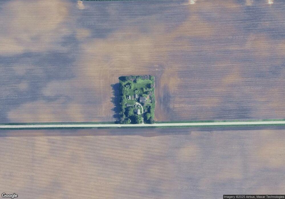
Map
Nearby Homes
- 650 Meadow Ln
- Starling Plan at Royal Estates
- Wren Plan at Royal Estates
- Meadowlark Plan at Royal Estates
- Brighton Plan at Royal Estates
- Siena II Plan at Royal Estates
- Townsend Plan at Royal Estates
- 510 N Sycamore St
- 621 N Oak St
- 150 Christensen St
- 320 Harvest Ave
- 620 N Sycamore St
- 170 Christensen St
- 610 N Sycamore St
- 540 N Sycamore St
- 670 Rustic Way
- 631 Rustic Way
- 210 Christensen St
- 520 N Sycamore St
- 230 Christensen St
- 11008 Hinckley Rd
- 10731 Somonauk Rd
- 16262 Phillips Rd
- 10343 Hinckley Rd
- 16298 Phillips Rd
- 10791 Somonauk Rd
- 10256 Somonauk Rd
- 791 Meadow Ln
- 790 Meadow Ln
- 781 Meadow Ln
- 780 Meadow Ln
- 771 Meadow Ln
- 771 Meadow Ln Unit 1
- 770 Meadow Ln
- 00 Meadow Ln
- 761 Meadow Ln
- 760 Meadow Ln
- 750 Meadow Ln
- 751 Meadow Ln
- 740 Meadow Ln