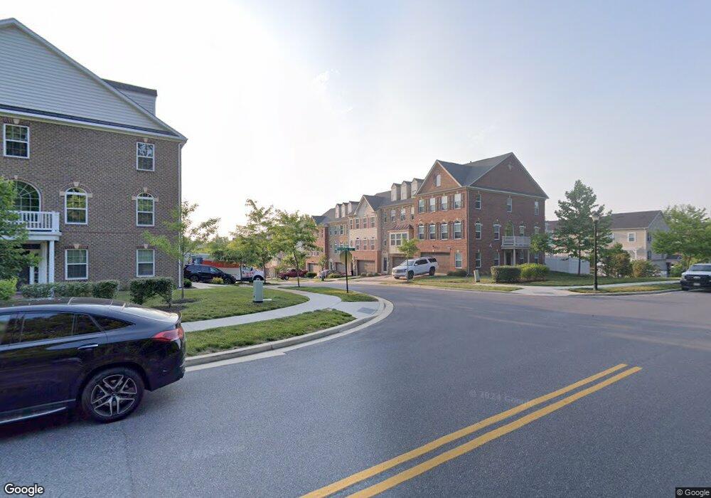
15609 Swanscombe Loop Upper Marlboro, MD 20774
Estimated Value: $508,012 - $578,000
--
Bed
2
Baths
1,728
Sq Ft
$314/Sq Ft
Est. Value
About This Home
This home is located at 15609 Swanscombe Loop, Upper Marlboro, MD 20774 and is currently estimated at $543,003, approximately $314 per square foot. 15609 Swanscombe Loop is a home located in Prince George's County with nearby schools including Patuxent Elementary School, James Madison Middle School, and Dr. Henry A. Wise Jr. High School.
Ownership History
Date
Name
Owned For
Owner Type
Purchase Details
Closed on
Dec 19, 2016
Sold by
Nvr Inc
Bought by
Outlaw Willie
Current Estimated Value
Home Financials for this Owner
Home Financials are based on the most recent Mortgage that was taken out on this home.
Original Mortgage
$402,111
Interest Rate
3.5%
Mortgage Type
FHA
Purchase Details
Closed on
Aug 4, 2016
Sold by
V O B Limited Partnership
Bought by
Nvr Inc
Create a Home Valuation Report for This Property
The Home Valuation Report is an in-depth analysis detailing your home's value as well as a comparison with similar homes in the area
Home Values in the Area
Average Home Value in this Area
Purchase History
| Date | Buyer | Sale Price | Title Company |
|---|---|---|---|
| Outlaw Willie | $409,530 | None Available | |
| Nvr Inc | $250,000 | None Available |
Source: Public Records
Mortgage History
| Date | Status | Borrower | Loan Amount |
|---|---|---|---|
| Previous Owner | Outlaw Willie | $402,111 |
Source: Public Records
Tax History Compared to Growth
Tax History
| Year | Tax Paid | Tax Assessment Tax Assessment Total Assessment is a certain percentage of the fair market value that is determined by local assessors to be the total taxable value of land and additions on the property. | Land | Improvement |
|---|---|---|---|---|
| 2025 | $6,854 | $467,300 | $150,000 | $317,300 |
| 2024 | $6,854 | $435,800 | $0 | $0 |
| 2023 | $6,385 | $404,300 | $0 | $0 |
| 2022 | $5,917 | $372,800 | $100,000 | $272,800 |
| 2021 | $5,496 | $368,500 | $0 | $0 |
| 2020 | $5,433 | $364,200 | $0 | $0 |
| 2019 | $5,369 | $359,900 | $100,000 | $259,900 |
| 2018 | $5,086 | $340,867 | $0 | $0 |
| 2017 | $4,803 | $321,833 | $0 | $0 |
| 2016 | -- | $11,200 | $0 | $0 |
| 2015 | -- | $11,200 | $0 | $0 |
Source: Public Records
Map
Nearby Homes
- 3002 Presidential Golf Dr
- 15608 Bibury Alley
- 15606 Beech Tree Pkwy
- 16201 Brookmead Ct
- 15503 Humberside Way
- 15625 Copper Beech Dr
- 16115 Brookmead Ct
- 15303 Glastonbury Way
- 15308 Littleton Place
- 15517 Glastonbury Way
- 2704 Beech Orchard Ln
- 3902 Presidential Golf Dr
- 15701 Norus St
- 3604 Halloway N
- 15700 Grand St
- 15305 Torcross Way
- 2403 Lake Forest Dr
- 3512 Eyre Dr S
- 3807 Pentland Hills Dr
- 16504 Village Dr W
- 15607 Swanscombe Loop
- 15605 Swanscombe Loop
- 15611 Swanscombe Loop
- 15603 Swanscombe Loop
- 15613 Swanscombe Loop
- 15601 Swanscombe Loop
- 15615 Swanscombe Loop
- 15608 Swanscombe Loop
- 15606 Swanscombe Loop
- 15617 Swanscombe Loop
- 15604 Swanscombe Loop
- 15610 Swanscombe Loop
- 15602 Swanscombe Loop
- 15606 Burford Ln
- 15619 Swanscombe Loop
- 15604 Burford Ln
- 15614 Swanscombe Loop
- 15602 Burford Ln
- 15600 Swanscombe Loop
- 15608 Burford Ln