1561 Dry Hollow Rd Dahlonega, GA 30533
Estimated Value: $363,383 - $986,000
--
Bed
--
Bath
1,436
Sq Ft
$382/Sq Ft
Est. Value
About This Home
This home is located at 1561 Dry Hollow Rd, Dahlonega, GA 30533 and is currently estimated at $548,096, approximately $381 per square foot. 1561 Dry Hollow Rd is a home with nearby schools including Clay County Middle School and Lumpkin County High School.
Ownership History
Date
Name
Owned For
Owner Type
Purchase Details
Closed on
Mar 31, 2022
Sold by
Keith Betty
Bought by
Keith David Mark
Current Estimated Value
Home Financials for this Owner
Home Financials are based on the most recent Mortgage that was taken out on this home.
Original Mortgage
$320,000
Outstanding Balance
$299,518
Interest Rate
3.92%
Mortgage Type
VA
Estimated Equity
$248,578
Purchase Details
Closed on
Jul 8, 2021
Sold by
Keith David Mark
Bought by
Keith Jasper and Keith Betty
Purchase Details
Closed on
Jun 9, 2021
Sold by
Taylor Antonzio
Bought by
Keith David Mark
Purchase Details
Closed on
Oct 30, 2020
Sold by
Anderson James A
Bought by
Taylor Antonzio
Purchase Details
Closed on
Mar 13, 2020
Sold by
Moore Kelly
Bought by
Anderson James A
Purchase Details
Closed on
Jun 30, 2006
Sold by
Not Provided
Bought by
Moore Kelly and Moore James Anderson
Create a Home Valuation Report for This Property
The Home Valuation Report is an in-depth analysis detailing your home's value as well as a comparison with similar homes in the area
Home Values in the Area
Average Home Value in this Area
Purchase History
| Date | Buyer | Sale Price | Title Company |
|---|---|---|---|
| Keith David Mark | $320,000 | -- | |
| Keith Jasper | $25,000 | -- | |
| Keith David Mark | $34,000 | -- | |
| Taylor Antonzio | $18,000 | -- | |
| Anderson James A | $18,100 | -- | |
| Moore Kelly | $129,500 | -- |
Source: Public Records
Mortgage History
| Date | Status | Borrower | Loan Amount |
|---|---|---|---|
| Open | Keith David Mark | $320,000 |
Source: Public Records
Tax History Compared to Growth
Tax History
| Year | Tax Paid | Tax Assessment Tax Assessment Total Assessment is a certain percentage of the fair market value that is determined by local assessors to be the total taxable value of land and additions on the property. | Land | Improvement |
|---|---|---|---|---|
| 2024 | -- | $124,980 | $10,000 | $114,980 |
| 2023 | $0 | $117,094 | $10,000 | $107,094 |
| 2022 | $1,359 | $54,886 | $10,000 | $44,886 |
| 2021 | $184 | $7,200 | $7,200 | $0 |
| 2020 | $190 | $7,200 | $7,200 | $0 |
| 2019 | $192 | $7,200 | $7,200 | $0 |
| 2018 | $204 | $7,200 | $7,200 | $0 |
| 2017 | $208 | $7,200 | $7,200 | $0 |
| 2016 | $215 | $7,200 | $7,200 | $0 |
| 2015 | $190 | $7,200 | $7,200 | $0 |
| 2014 | $190 | $7,200 | $7,200 | $0 |
| 2013 | -- | $7,200 | $7,200 | $0 |
Source: Public Records
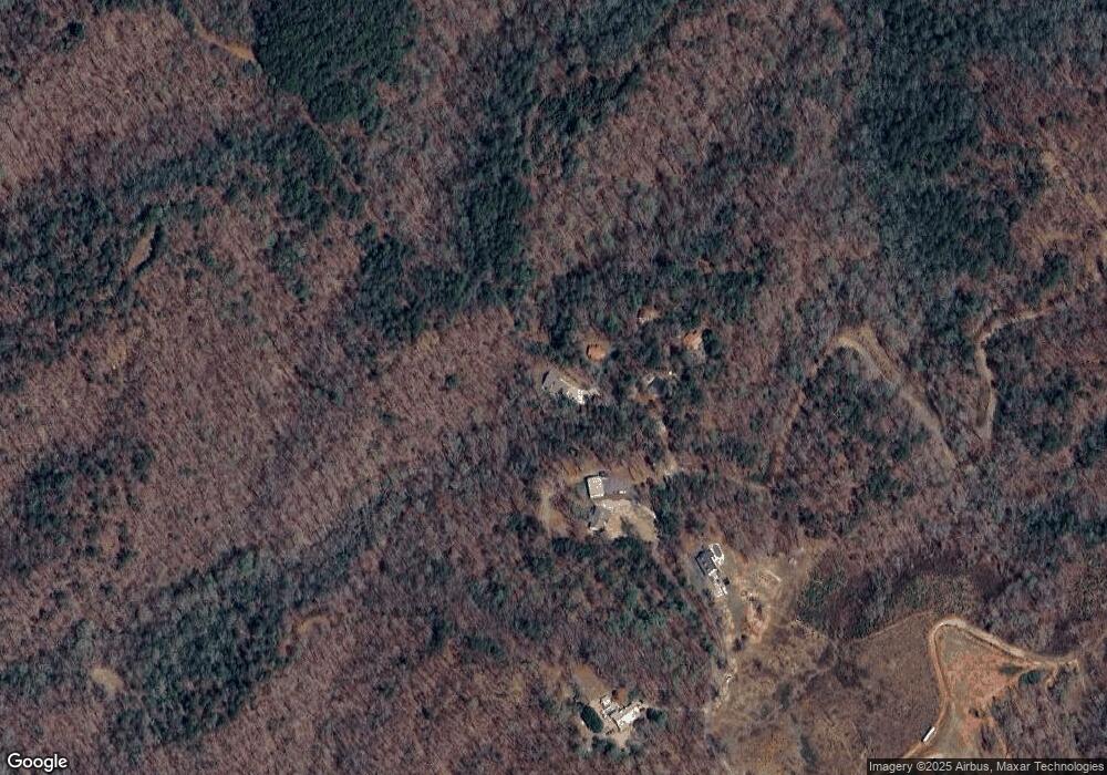
Map
Nearby Homes
- 201 Perkins Rd
- 205 Perkins Rd
- 245 Perkins Rd
- 0 Gold Crest Dr Unit 7623108
- 0 Gold Crest Dr Unit 10373986
- 2041 Long Branch Rd
- 2041 Long Branch Rd Unit TRACT 2A
- 0 Gold View Dr
- 668 Gold Cove Dr
- 72 Rustin Ridge Unit 276
- 58 Rustin Ridge Unit 278
- 42 Rustin Ridge Unit 285
- 1376 Robinson Rd
- 0 Stamp Mill Dr
- 133 Stamp Mill Dr
- 1364 Birch River Dr
- 1259 Birch River Dr
- 134 Prospector Ridge
- 176 Stamp Mill Ln
- 48 Kasten Run
- LOT 3 Dry Hollow
- Lot 7 Dry Hollow
- Lot 2 Dry Hollow
- Lot 5 Dry Hollow
- 2177 Long Branch Rd
- 2 Long Branch Rd
- 265 Perkins Rd
- 123 Perkins Rd
- 0 Tract 2d Perkins Rd Rd
- 185 Gold Crest Dr
- 211 Gold Crest Dr
- 13 Gold Crest
- 13 Gold Crest Dr
- 23 Gold Crest Dr
- 5 Gold Crest Dr
- 376 Gold Crest Dr
- 355 Gold Crest Dr
- 0 Gold Crest Dr Unit 5983155
- 0 Gold Crest Dr Unit 8346873
- 0 Gold Crest Dr Unit 8297855