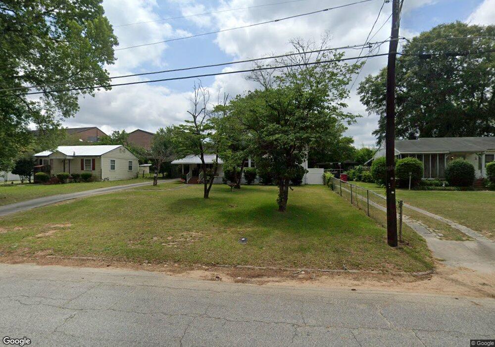
1561 Engle Dr Macon, GA 31211
Estimated Value: $113,362 - $163,000
3
Beds
1
Bath
1,340
Sq Ft
$101/Sq Ft
Est. Value
About This Home
This home is located at 1561 Engle Dr, Macon, GA 31211 and is currently estimated at $135,341, approximately $101 per square foot. 1561 Engle Dr is a home located in Bibb County with nearby schools including Martin Luther King Jr. Elementary School, Appling Middle School, and Northeast High School.
Ownership History
Date
Name
Owned For
Owner Type
Purchase Details
Closed on
Dec 9, 2024
Sold by
Flowers William Jerry and Brown Flowers Sylvia
Bought by
Brown Flowers Sylvia
Current Estimated Value
Purchase Details
Closed on
May 14, 2010
Sold by
Deutsche Bank National Trust Company
Bought by
Flowers William J and Flowers Sylvia B
Purchase Details
Closed on
Dec 1, 2009
Sold by
Maresca Antonio J and Maresca Valerie B
Bought by
Deutsche Bank National Trust Company
Purchase Details
Closed on
Mar 24, 2003
Bought by
Maresca Antonio J and Maresca Valerie
Create a Home Valuation Report for This Property
The Home Valuation Report is an in-depth analysis detailing your home's value as well as a comparison with similar homes in the area
Purchase History
| Date | Buyer | Sale Price | Title Company |
|---|---|---|---|
| Brown Flowers Sylvia | -- | None Listed On Document | |
| Brown Flowers Sylvia | -- | None Listed On Document | |
| Flowers William J | $18,100 | None Available | |
| Deutsche Bank National Trust Company | $52,000 | None Available | |
| Maresca Antonio J | $66,000 | -- |
Source: Public Records
Tax History
| Year | Tax Paid | Tax Assessment Tax Assessment Total Assessment is a certain percentage of the fair market value that is determined by local assessors to be the total taxable value of land and additions on the property. | Land | Improvement |
|---|---|---|---|---|
| 2025 | $814 | $33,114 | $3,510 | $29,604 |
| 2024 | $841 | $33,114 | $3,510 | $29,604 |
| 2023 | $744 | $29,312 | $3,510 | $25,802 |
| 2022 | $957 | $27,656 | $3,286 | $24,370 |
| 2021 | $704 | $18,534 | $2,934 | $15,600 |
| 2020 | $720 | $18,534 | $2,934 | $15,600 |
| 2019 | $726 | $18,534 | $2,934 | $15,600 |
| 2018 | $1,291 | $18,534 | $2,934 | $15,600 |
| 2017 | $694 | $18,534 | $2,934 | $15,600 |
| 2016 | $641 | $18,534 | $2,934 | $15,600 |
| 2015 | $908 | $18,534 | $2,934 | $15,600 |
| 2014 | $1,044 | $18,534 | $2,934 | $15,600 |
Source: Public Records
Map
Nearby Homes
- 1715 Foster Place
- 1735 Foster Place
- 1746 Hamilton Dr
- 1485 Lone Oak Dr
- 1987 Long Ridge Dr
- 1976 Long Ridge Dr
- 1971 Long Ridge Dr
- 1972 Wood Valley Rd
- 1954 Wood Valley Rd
- 1978 Wood Valley Rd
- 1898 Wood Valley Rd
- 1949 Deerwood Place
- 1154 Davis Cir
- 1174 Davis St E
- 1435 Twin Pines Dr
- 1916 Flintwood Dr
- 1825 Flintwood Dr
- 1158 Jackson Springs Rd
- 1464 Twin Pines Dr
- 1049 Boulevard
Your Personal Tour Guide
Ask me questions while you tour the home.