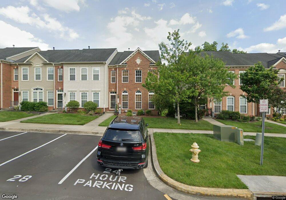
1561 Rutland Way Hanover, MD 21076
Estimated Value: $476,061 - $544,000
--
Bed
3
Baths
1,978
Sq Ft
$260/Sq Ft
Est. Value
About This Home
This home is located at 1561 Rutland Way, Hanover, MD 21076 and is currently estimated at $514,515, approximately $260 per square foot. 1561 Rutland Way is a home located in Anne Arundel County with nearby schools including Hebron-Harman Elementary School, MacArthur Middle School, and Meade High School.
Ownership History
Date
Name
Owned For
Owner Type
Purchase Details
Closed on
May 10, 2014
Sold by
Kim Tony
Bought by
Kim Ellen
Current Estimated Value
Purchase Details
Closed on
Jul 27, 2007
Sold by
Cc&Dorchester Llc
Bought by
Kim Tony Y and Kim Ellen Y
Home Financials for this Owner
Home Financials are based on the most recent Mortgage that was taken out on this home.
Original Mortgage
$440,275
Outstanding Balance
$334,424
Interest Rate
11.1%
Mortgage Type
Purchase Money Mortgage
Estimated Equity
$180,091
Create a Home Valuation Report for This Property
The Home Valuation Report is an in-depth analysis detailing your home's value as well as a comparison with similar homes in the area
Home Values in the Area
Average Home Value in this Area
Purchase History
| Date | Buyer | Sale Price | Title Company |
|---|---|---|---|
| Kim Ellen | -- | None Available | |
| Kim Tony Y | $440,275 | -- |
Source: Public Records
Mortgage History
| Date | Status | Borrower | Loan Amount |
|---|---|---|---|
| Open | Kim Tony Y | $440,275 |
Source: Public Records
Tax History Compared to Growth
Tax History
| Year | Tax Paid | Tax Assessment Tax Assessment Total Assessment is a certain percentage of the fair market value that is determined by local assessors to be the total taxable value of land and additions on the property. | Land | Improvement |
|---|---|---|---|---|
| 2025 | $2,091 | $419,600 | $140,000 | $279,600 |
| 2024 | $2,091 | $403,733 | $0 | $0 |
| 2023 | $5,849 | $387,867 | $0 | $0 |
| 2022 | $3,887 | $372,000 | $140,000 | $232,000 |
| 2021 | $10,990 | $369,667 | $0 | $0 |
| 2020 | $2,189 | $367,333 | $0 | $0 |
| 2019 | $4,410 | $365,000 | $130,000 | $235,000 |
| 2018 | $3,660 | $360,933 | $0 | $0 |
| 2017 | $4,821 | $356,867 | $0 | $0 |
| 2016 | -- | $352,800 | $0 | $0 |
| 2015 | -- | $345,567 | $0 | $0 |
| 2014 | -- | $338,333 | $0 | $0 |
Source: Public Records
Map
Nearby Homes
- 1544 Rutland Way
- 7296 Dorchester Woods Ln
- 7266 Dorchester Woods Ln
- 7591 Taunton Ct
- 7490 Race Rd
- 7151 Wright Rd
- 7143 Wright Rd
- Parcel 325 Wright Rd
- Parcel 265 Wright Rd
- Parcel 271 Wright Rd
- 7147 Wedmore Ct
- Parcel 316-7147 Wright Rd
- 7111 River Birch Dr
- 7135 Wright Rd
- 7131 Wright Rd
- 7432 Race Rd
- 7310 Wisteria Point Dr
- 1622 Hardwick Ct Unit 202
- 1622 Hardwick Ct Unit 403
- 7328 Wisteria Point Dr
- 1559 Rutland Way
- 1563 Rutland Way
- 1557 Rutland Way
- 1565 Rutland Way
- 1555 Rutland Way
- 1567 Rutland Way
- 1553 Rutland Way
- 1569 Rutland Way
- 1551 Rutland Way
- 1562 Rutland Way
- 1560 Rutland Way
- 1549 Rutland Way
- 1558 Rutland Way
- 1566 Rutland Way
- 1556 Rutland Way
- 1568 Rutland Way
- 1554 Rutland Way
- 1570 Rutland Way
- 1547 Rutland Way
- 1575 Rutland Way