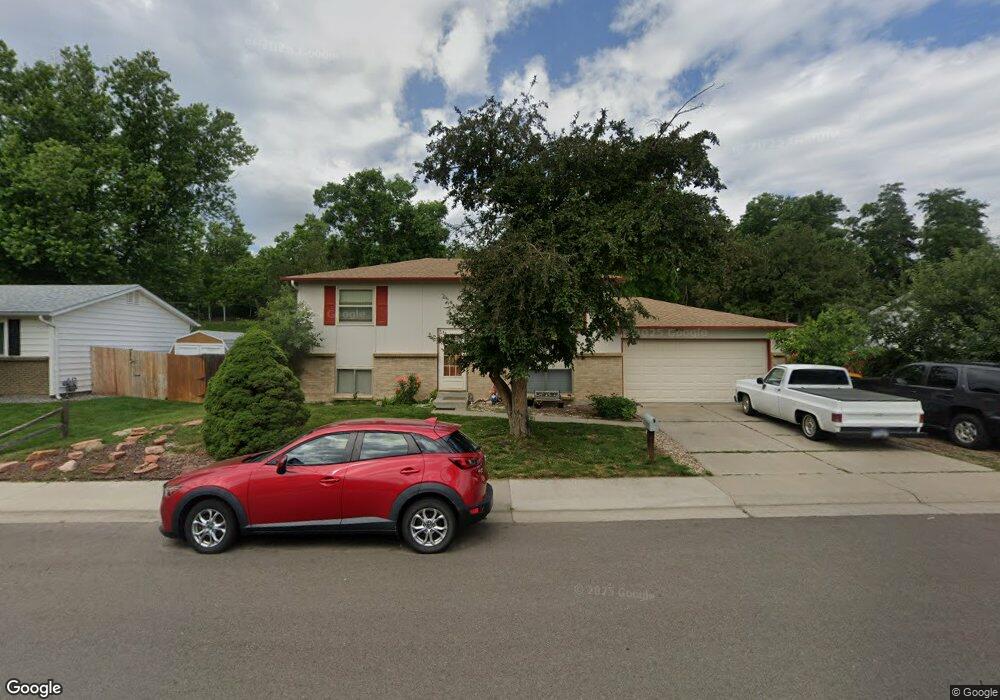
1561 S Queen St Denver, CO 80232
Green Mountain NeighborhoodEstimated Value: $444,000 - $596,000
4
Beds
3
Baths
816
Sq Ft
$642/Sq Ft
Est. Value
About This Home
This home is located at 1561 S Queen St, Denver, CO 80232 and is currently estimated at $523,480, approximately $641 per square foot. 1561 S Queen St is a home located in Jefferson County with nearby schools including Kendrick Lakes Elementary School, Carmody Middle School, and Bear Creek High School.
Ownership History
Date
Name
Owned For
Owner Type
Purchase Details
Closed on
May 28, 1999
Sold by
Maish David O and Maish Brenda J
Bought by
Stohr Peter
Current Estimated Value
Home Financials for this Owner
Home Financials are based on the most recent Mortgage that was taken out on this home.
Original Mortgage
$154,000
Outstanding Balance
$40,147
Interest Rate
6.91%
Estimated Equity
$483,333
Create a Home Valuation Report for This Property
The Home Valuation Report is an in-depth analysis detailing your home's value as well as a comparison with similar homes in the area
Home Values in the Area
Average Home Value in this Area
Purchase History
| Date | Buyer | Sale Price | Title Company |
|---|---|---|---|
| Stohr Peter | $163,000 | Land Title |
Source: Public Records
Mortgage History
| Date | Status | Borrower | Loan Amount |
|---|---|---|---|
| Open | Stohr Peter | $154,000 |
Source: Public Records
Tax History
| Year | Tax Paid | Tax Assessment Tax Assessment Total Assessment is a certain percentage of the fair market value that is determined by local assessors to be the total taxable value of land and additions on the property. | Land | Improvement |
|---|---|---|---|---|
| 2024 | $3,084 | $31,153 | $17,056 | $14,097 |
| 2023 | $3,084 | $31,153 | $17,056 | $14,097 |
| 2022 | $2,663 | $26,368 | $13,879 | $12,489 |
| 2021 | $2,697 | $27,127 | $14,278 | $12,849 |
| 2020 | $2,433 | $24,508 | $12,523 | $11,985 |
| 2019 | $2,403 | $24,508 | $12,523 | $11,985 |
| 2018 | $2,161 | $21,255 | $7,770 | $13,485 |
| 2017 | $1,974 | $21,255 | $7,770 | $13,485 |
| 2016 | $1,925 | $19,970 | $6,852 | $13,118 |
| 2015 | $1,707 | $19,970 | $6,852 | $13,118 |
| 2014 | $1,707 | $16,605 | $6,368 | $10,237 |
Source: Public Records
Map
Nearby Homes
- 1531 S Queen St
- 1474 S Pierson St Unit 65
- 1517 S Owens St Unit 5
- 10970 W Florida Ave Unit 217
- 1424 S Simms St
- 12080 W Carolina Dr
- 12187 W New Mexico Place
- 10772 W Florida Ave Unit B
- 12241 W New Mexico Ave
- 12339 W Carolina Dr
- 12366 W Green Mountain Dr
- 1679 S Lee St Unit C
- 10806 W Evans Ave Unit 4
- 10806 W Evans Ave Unit 6
- 10490 W Jewell Ave Unit D
- 10175 W Hawaii Place
- 2154 S Parfet Dr
- 10135 W Iowa Ave
- 10209 W Idaho Ave
- 1646 S Kline Ct
- 1551 S Queen St
- 1571 S Queen St
- 1541 S Queen St
- 1581 S Queen St
- 1550 S Queen St
- 1560 S Queen St
- 1540 S Queen St
- 1591 S Queen St
- 11286 W Hawaii Place
- 11255 W Hawaii Place
- 1530 S Queen St
- 1521 S Queen St
- 1590 S Queen St
- 11256 W Hawaii Place
- 1601 S Queen St
- 1520 S Queen St
- 11225 W Hawaii Place
- 1586 S Robb Way
- 11267 W Iowa Dr
- 1576 S Robb Way
Your Personal Tour Guide
Ask me questions while you tour the home.