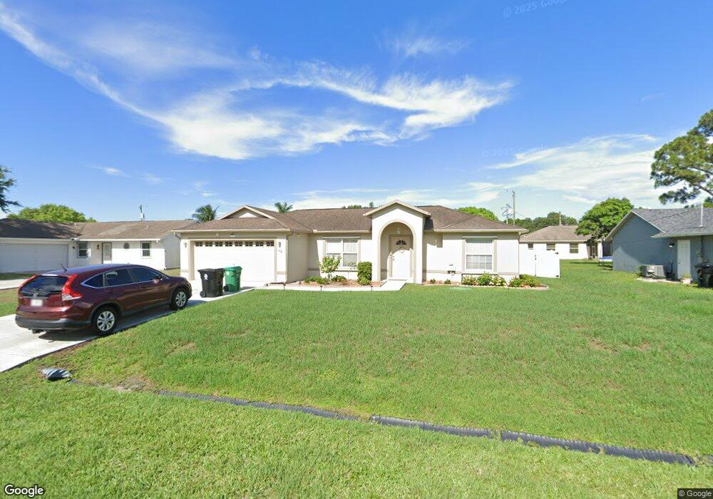
1561 SW Curtis St Port Saint Lucie, FL 34983
Bayshore Heights NeighborhoodEstimated Value: $298,000 - $333,000
3
Beds
2
Baths
1,166
Sq Ft
$269/Sq Ft
Est. Value
About This Home
This home is located at 1561 SW Curtis St, Port Saint Lucie, FL 34983 and is currently estimated at $314,142, approximately $269 per square foot. 1561 SW Curtis St is a home located in St. Lucie County with nearby schools including Floresta Elementary School, Northport K-8 School, and Parkway Elementary School.
Ownership History
Date
Name
Owned For
Owner Type
Purchase Details
Closed on
Aug 30, 1999
Sold by
Groza Bldr Inc
Bought by
Davis Robert P and Davis Karen M
Current Estimated Value
Home Financials for this Owner
Home Financials are based on the most recent Mortgage that was taken out on this home.
Original Mortgage
$62,400
Outstanding Balance
$17,627
Interest Rate
7.91%
Estimated Equity
$296,515
Purchase Details
Closed on
Dec 2, 1998
Sold by
Groza John A
Bought by
Bldr Groza
Purchase Details
Closed on
Jan 21, 1997
Sold by
Aakanson Trading Co Inc
Bought by
Groza John A
Create a Home Valuation Report for This Property
The Home Valuation Report is an in-depth analysis detailing your home's value as well as a comparison with similar homes in the area
Home Values in the Area
Average Home Value in this Area
Purchase History
| Date | Buyer | Sale Price | Title Company |
|---|---|---|---|
| Davis Robert P | $78,900 | -- | |
| Bldr Groza | $5,200 | -- | |
| Groza John A | $7,000 | -- |
Source: Public Records
Mortgage History
| Date | Status | Borrower | Loan Amount |
|---|---|---|---|
| Open | Davis Robert P | $62,400 |
Source: Public Records
Tax History Compared to Growth
Tax History
| Year | Tax Paid | Tax Assessment Tax Assessment Total Assessment is a certain percentage of the fair market value that is determined by local assessors to be the total taxable value of land and additions on the property. | Land | Improvement |
|---|---|---|---|---|
| 2025 | $1,444 | $81,735 | -- | -- |
| 2024 | $1,388 | $79,432 | -- | -- |
| 2023 | $1,388 | $77,119 | $0 | $0 |
| 2022 | $1,252 | $69,922 | $0 | $0 |
| 2021 | $1,174 | $67,886 | $0 | $0 |
| 2020 | $1,181 | $66,949 | $0 | $0 |
| 2019 | $1,185 | $65,444 | $0 | $0 |
| 2018 | $1,138 | $64,224 | $0 | $0 |
| 2017 | $1,142 | $115,700 | $28,200 | $87,500 |
| 2016 | $1,140 | $97,700 | $21,700 | $76,000 |
| 2015 | $1,365 | $78,100 | $14,100 | $64,000 |
| 2014 | $1,328 | $60,697 | $0 | $0 |
Source: Public Records
Map
Nearby Homes
- 1565 SW Hutchins St
- 1518 SW Hutchins St
- 1541 SW Curry St
- 1562 SW Curry St
- 500 SE Fascino Cir
- 512 SE Fascino Cir
- 369 SE Fascino Cir
- 361 SW Fairway Ave
- 256 SW Grove Ave
- 1413 SW Hutchins St
- 1658 SW Gemini Ln
- 190 SW Ray Ave
- 1614 SW Sylvester Ln
- 238 SW Twig Ave
- 143 SW Grove Ave
- 118 SW Ray Ave
- 398 SW Ray Ave
- 199 SW Todd Ave
- 1741 SW Brisbane St
- 201 SW Parish Terrace
- 1581 SW Curtis St
- 1541 SW Curtis St
- 1566 SW Hutchins St
- 1550 SW Hutchins St
- 1582 SW Hutchins St
- 1521 SW Curtis St
- 1599 SW Curtis St
- 1562 SW Curtis St
- 1542 SW Curtis St
- 1582 SW Curtis St
- 1534 SW Hutchins St
- 1598 SW Hutchins St
- 1522 SW Curtis St
- 1598 SW Curtis St
- 1501 SW Curtis St
- 1561 SW Curry St
- 1502 SW Curtis St
- 1581 SW Curry St
- 1549 SW Hutchins St
- 252 SW Carter Ave