15610 Howard St Union Pier, MI 49129
Estimated Value: $485,670 - $745,000
--
Bed
--
Bath
1,160
Sq Ft
$529/Sq Ft
Est. Value
About This Home
This home is located at 15610 Howard St, Union Pier, MI 49129 and is currently estimated at $613,918, approximately $529 per square foot. 15610 Howard St is a home with nearby schools including New Buffalo Elementary School, New Buffalo Middle School, and New Buffalo Senior High School.
Ownership History
Date
Name
Owned For
Owner Type
Purchase Details
Closed on
Oct 4, 2023
Sold by
Casa Del Lago Trust
Bought by
Casa Del Lago Trust and Bielanski
Current Estimated Value
Purchase Details
Closed on
Mar 14, 2018
Sold by
Albores Arthur and Albores Carole L
Bought by
Albores Arthur and Albores Carole L
Purchase Details
Closed on
Oct 1, 2016
Sold by
Bielanski Thomas E and Bielanski Vicki L
Bought by
Bielanski Thomas E and Bielanski Vicki L
Purchase Details
Closed on
Oct 30, 2008
Sold by
Rudnik Anthony J and Rudnik Margaret A
Bought by
Bielanski Thomas E and Bielanski Vicki L
Purchase Details
Closed on
Sep 26, 1987
Purchase Details
Closed on
Dec 1, 1980
Create a Home Valuation Report for This Property
The Home Valuation Report is an in-depth analysis detailing your home's value as well as a comparison with similar homes in the area
Home Values in the Area
Average Home Value in this Area
Purchase History
| Date | Buyer | Sale Price | Title Company |
|---|---|---|---|
| Casa Del Lago Trust | -- | Chicago Title | |
| Albores Arthur | -- | None Available | |
| Bielanski Thomas E | -- | Attorney | |
| Bielanski Thomas E | -- | Chicago Title Insurance Co | |
| -- | $17,000 | -- | |
| -- | -- | -- |
Source: Public Records
Tax History Compared to Growth
Tax History
| Year | Tax Paid | Tax Assessment Tax Assessment Total Assessment is a certain percentage of the fair market value that is determined by local assessors to be the total taxable value of land and additions on the property. | Land | Improvement |
|---|---|---|---|---|
| 2025 | $3,559 | $159,600 | $0 | $0 |
| 2024 | $2,238 | $140,100 | $0 | $0 |
| 2023 | $2,132 | $126,200 | $0 | $0 |
| 2022 | $2,030 | $103,300 | $0 | $0 |
| 2021 | $3,047 | $123,000 | $90,600 | $32,400 |
| 2020 | $3,009 | $114,300 | $0 | $0 |
| 2019 | $2,938 | $146,700 | $112,700 | $34,000 |
| 2018 | $2,904 | $146,700 | $0 | $0 |
| 2017 | $2,921 | $150,000 | $0 | $0 |
| 2016 | $2,784 | $150,700 | $0 | $0 |
| 2015 | $2,739 | $167,400 | $0 | $0 |
| 2014 | $1,788 | $162,000 | $0 | $0 |
Source: Public Records
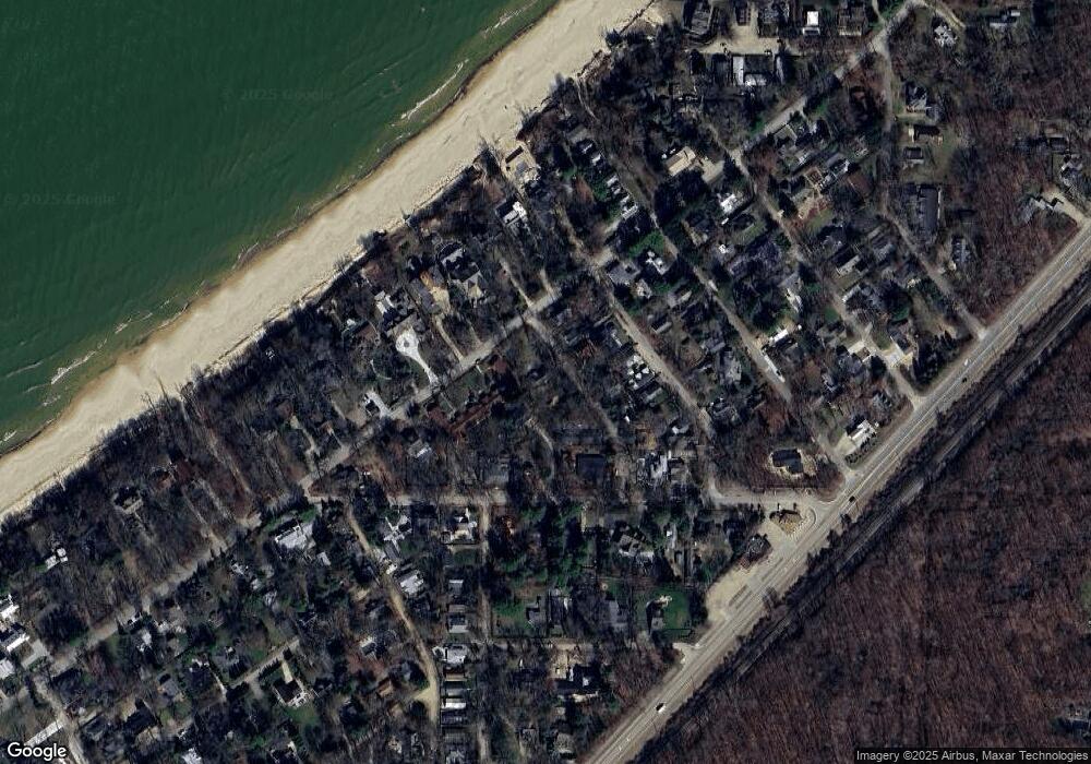
Map
Nearby Homes
- 15657 Lakeshore Rd Unit 12
- 15577 Victor Rd Unit 4
- 9720 Woodlawn Ave
- 15660 Locke Rd
- 15655 Locke Rd
- 15445 Lakeshore Rd
- V/L National Pkwy Unit 25
- 9132 National Pkwy
- 15360 Lakeshore Rd
- 9325 Matthews Rd
- 16009 Goodwin Ave Unit 12
- 16009 Goodwin Ave Unit 10
- 16009 Goodwin Ave Unit 13
- 15943 Lakeshore Rd
- 15930 Lake Ave
- 16253 1st Ln
- 9134 Leo Ln
- 16431 Glassman Rd
- 16225 Quality Ln
- 9695 Community Hall Rd
- 15626 Howard St
- 9689 Berrien St
- 15604 Howard St
- 15615 Howard St
- 15605 Howard St
- 9691 Berrien St
- 9691 Berrien St Unit a
- 9691 Berrien St Unit B
- 15601 Howard St
- 15608 Isobel St
- 9679 Berrien St
- 15612 Isobel St Unit 2
- 15612 Isobel St Unit 3
- 15612 Isobel St
- 15612 Isobel St Unit 4
- 15627 Lakeshore Rd
- 0 Berrien St
- 15627 Howard St
- 15620 Isobel St
- 15604 Isobel St