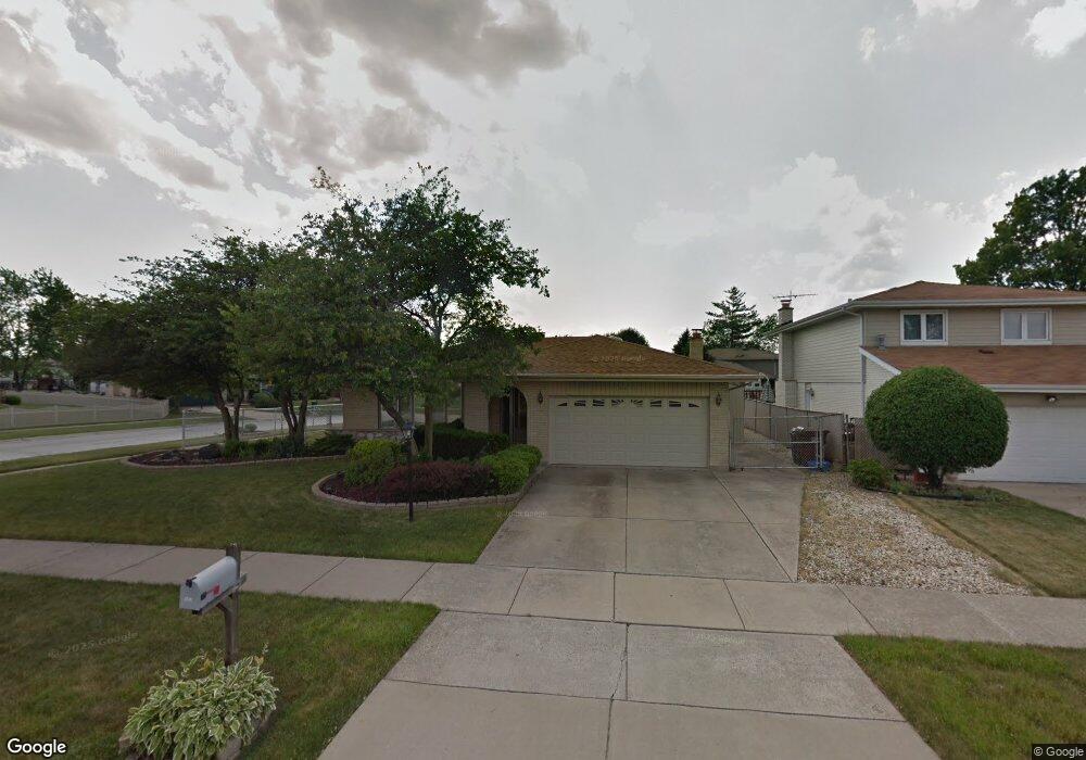
15612 Rob Roy Dr Oak Forest, IL 60452
Estimated Value: $345,388 - $356,000
4
Beds
2
Baths
1,494
Sq Ft
$236/Sq Ft
Est. Value
About This Home
This home is located at 15612 Rob Roy Dr, Oak Forest, IL 60452 and is currently estimated at $351,847, approximately $235 per square foot. 15612 Rob Roy Dr is a home located in Cook County with nearby schools including Fierke Education Center, Central Middle School, and Oak Forest High School.
Ownership History
Date
Name
Owned For
Owner Type
Purchase Details
Closed on
Feb 11, 2016
Sold by
Mockus Michael A
Bought by
Mockus Michael A and Michael A Mockus Revocable Trust
Current Estimated Value
Purchase Details
Closed on
Jun 24, 2000
Sold by
Walsh Anna Marie
Bought by
Mockus Michael A
Home Financials for this Owner
Home Financials are based on the most recent Mortgage that was taken out on this home.
Original Mortgage
$124,000
Outstanding Balance
$43,995
Interest Rate
8.31%
Estimated Equity
$307,852
Purchase Details
Closed on
Mar 13, 1997
Sold by
Heritage Trust Company
Bought by
Mockus Michael A and Walsh Anna Marie
Home Financials for this Owner
Home Financials are based on the most recent Mortgage that was taken out on this home.
Original Mortgage
$127,000
Interest Rate
7.74%
Create a Home Valuation Report for This Property
The Home Valuation Report is an in-depth analysis detailing your home's value as well as a comparison with similar homes in the area
Home Values in the Area
Average Home Value in this Area
Purchase History
| Date | Buyer | Sale Price | Title Company |
|---|---|---|---|
| Mockus Michael A | -- | Attorney | |
| Mockus Michael A | -- | Chicago Title Insurance Co | |
| Mockus Michael A | $167,000 | -- |
Source: Public Records
Mortgage History
| Date | Status | Borrower | Loan Amount |
|---|---|---|---|
| Open | Mockus Michael A | $124,000 | |
| Previous Owner | Mockus Michael A | $127,000 |
Source: Public Records
Tax History Compared to Growth
Tax History
| Year | Tax Paid | Tax Assessment Tax Assessment Total Assessment is a certain percentage of the fair market value that is determined by local assessors to be the total taxable value of land and additions on the property. | Land | Improvement |
|---|---|---|---|---|
| 2024 | $3,178 | $28,000 | $4,988 | $23,012 |
| 2023 | $4,183 | $28,000 | $4,988 | $23,012 |
| 2022 | $4,183 | $22,061 | $4,337 | $17,724 |
| 2021 | $4,019 | $22,061 | $4,337 | $17,724 |
| 2020 | $3,689 | $22,061 | $4,337 | $17,724 |
| 2019 | $4,181 | $18,548 | $3,903 | $14,645 |
| 2018 | $4,112 | $18,548 | $3,903 | $14,645 |
| 2017 | $4,027 | $18,548 | $3,903 | $14,645 |
| 2016 | $5,368 | $16,432 | $3,469 | $12,963 |
| 2015 | $5,343 | $16,432 | $3,469 | $12,963 |
| 2014 | $5,251 | $16,432 | $3,469 | $12,963 |
| 2013 | $6,364 | $20,678 | $3,469 | $17,209 |
Source: Public Records
Map
Nearby Homes
- 6230 Boca Rio Dr
- 15754 Arroyo Dr
- 6251 Bret Dr
- 15728 Terrace Dr Unit RO1
- 15301 Cherry Ln
- 5823 Stuart Ln
- 15700 Reynolds Ln
- 15309 Walnut Rd
- 15524 Pine Rd
- 6066 Forestview Dr
- 6233 El Morro Ln
- 15718 Peggy Ln Unit 2
- 15718 Peggy Ln Unit 10
- 5735 Dover Rd
- 15701 Peggy Ln Unit 3
- 15711 Peggy Ln Unit 7
- 15705 Peggy Ln
- 15200 Pine Dr
- 5756 Lancaster Dr
- 15706 Revere Ct Unit D
- 6234 Dolores Dr
- 15604 Rob Roy Dr
- 15624 Rob Roy Dr
- 6238 Dolores Dr
- 15613 Rob Roy Dr
- 15617 Rob Roy Dr
- 15609 Rob Roy Dr
- 6229 Dolores Dr
- 6233 Dolores Dr
- 15600 Rob Roy Dr
- 15621 Rob Roy Dr
- 15605 Rob Roy Dr
- 15628 Rob Roy Dr
- 6237 Dolores Dr
- 6242 Dolores Dr
- 15625 Rob Roy Dr
- 15601 Rob Roy Dr
- 6241 Dolores Dr
- 15534 Rob Roy Dr
- 15632 Rob Roy Dr