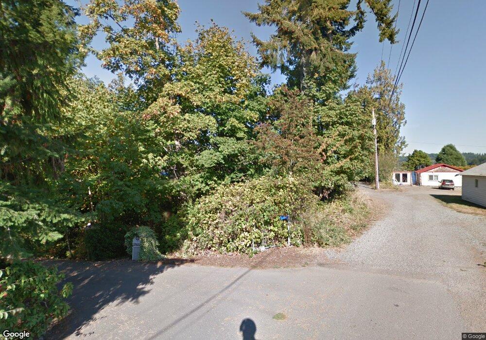
15619 Cove Point Ln NE Keyport, WA 98345
Estimated Value: $377,000 - $763,000
1
Bed
--
Bath
678
Sq Ft
$907/Sq Ft
Est. Value
About This Home
This home is located at 15619 Cove Point Ln NE, Keyport, WA 98345 and is currently estimated at $615,066, approximately $907 per square foot. 15619 Cove Point Ln NE is a home with nearby schools including Hilder Pearson Elementary School, Poulsbo Middle School, and North Kitsap High School.
Ownership History
Date
Name
Owned For
Owner Type
Purchase Details
Closed on
Jul 14, 2008
Sold by
Palmer Gregory L and Palmer Harvard
Bought by
Palmer Gregory L and Palmer Harvard
Current Estimated Value
Purchase Details
Closed on
Jan 30, 2002
Sold by
Palmer Harvard
Bought by
Palmer Harvard and Palmer Family Living Trust
Purchase Details
Closed on
Oct 22, 2000
Sold by
Palmer Harvard and Palmer Gertrude L
Bought by
The Palmer Family Living Trust
Create a Home Valuation Report for This Property
The Home Valuation Report is an in-depth analysis detailing your home's value as well as a comparison with similar homes in the area
Home Values in the Area
Average Home Value in this Area
Purchase History
| Date | Buyer | Sale Price | Title Company |
|---|---|---|---|
| Palmer Gregory L | -- | None Available | |
| Palmer Harvard | -- | Land Title Co | |
| Palmer Harvard | -- | Land Title Co | |
| The Palmer Family Living Trust | -- | -- |
Source: Public Records
Tax History Compared to Growth
Tax History
| Year | Tax Paid | Tax Assessment Tax Assessment Total Assessment is a certain percentage of the fair market value that is determined by local assessors to be the total taxable value of land and additions on the property. | Land | Improvement |
|---|---|---|---|---|
| 2026 | $4,714 | $519,620 | $509,100 | $10,520 |
| 2025 | $4,714 | $519,620 | $509,100 | $10,520 |
| 2024 | $4,557 | $518,670 | $508,860 | $9,810 |
| 2023 | $4,214 | $470,610 | $461,520 | $9,090 |
| 2022 | $3,723 | $393,220 | $384,600 | $8,620 |
| 2021 | $3,570 | $348,560 | $340,220 | $8,340 |
| 2020 | $3,173 | $303,920 | $295,850 | $8,070 |
| 2019 | $3,177 | $303,920 | $295,850 | $8,070 |
| 2018 | $3,070 | $251,210 | $243,440 | $7,770 |
| 2017 | $2,945 | $251,210 | $243,440 | $7,770 |
| 2016 | $3,187 | $251,210 | $243,440 | $7,770 |
| 2015 | $3,163 | $251,040 | $243,440 | $7,600 |
| 2014 | -- | $250,800 | $243,440 | $7,360 |
| 2013 | -- | $250,800 | $243,440 | $7,360 |
Source: Public Records
Map
Nearby Homes
- 1314 NE South Petterson Rd
- 15485 NE Peterson Rd
- 15809 Virginia Point Rd NE
- 1954 NE Grandview Blvd
- 1922 NE Fir St
- 15739 Virginia Loop Rd NE
- 1533 NE Tagholm Rd
- 1422 NW Swenson Ct
- 1678 NE Jacobson Rd
- 1354 Hoffs Dr
- 16778 Lemolo Shore Dr NE
- 17008 Peterson Way NE
- 2393 NE Trail Way
- 13423 Graywolf Place NE
- 16460 Scandia Rd NW
- 0 XX Lemolo Shore Dr NE
- 0 Lemolo Shore Parcel 4-019 Dr NE
- 17535 NE Midnight Sun Loop
- 13977 Blackberry Ln NE
- 17529 NE Midnight Sun Loop
- 15623 Cove Point Ln NE
- 15611 Cove Point Ln NE
- 15627 Cove Point Ln NE
- 15607 Cove Point Ln NE
- 15554 Cove Point Ln NE
- 15631 Cove Point Ln NE
- 15490 Cove Point Ln NE
- 15563 Cove Point Ln NE
- 15478 Cove Point Ln NE
- 15495 Cove Point Ln NE
- 15446 NE Petterson Rd
- 15485 Cove Point Ln NE
- 15462 Cove Point Ln NE
- 15406 NE Petterson Rd
- 15625 Aland Ln NE
- 15481 Cove Point Ln NE
- 1318 NE South Petterson Rd
- 15611 Aland Ln NE
- 15626 Aland Ln NE
- 15589 Aland Ln NE