1562 Airport Rd Cle Elum, WA 98922
Estimated Value: $804,000 - $949,000
4
Beds
3
Baths
2,828
Sq Ft
$310/Sq Ft
Est. Value
About This Home
This home is located at 1562 Airport Rd, Cle Elum, WA 98922 and is currently estimated at $876,869, approximately $310 per square foot. 1562 Airport Rd is a home with nearby schools including Cle Elum Roslyn Elementary School, Walter Strom Middle School, and Cle Elum Roslyn High School.
Ownership History
Date
Name
Owned For
Owner Type
Purchase Details
Closed on
Aug 14, 2018
Sold by
Lang Allen
Bought by
Nicholson Angelina and Nicholson Kevin
Current Estimated Value
Create a Home Valuation Report for This Property
The Home Valuation Report is an in-depth analysis detailing your home's value as well as a comparison with similar homes in the area
Home Values in the Area
Average Home Value in this Area
Purchase History
| Date | Buyer | Sale Price | Title Company |
|---|---|---|---|
| Nicholson Angelina | $60,000 | Kittitas Title & Escrow Llc |
Source: Public Records
Tax History Compared to Growth
Tax History
| Year | Tax Paid | Tax Assessment Tax Assessment Total Assessment is a certain percentage of the fair market value that is determined by local assessors to be the total taxable value of land and additions on the property. | Land | Improvement |
|---|---|---|---|---|
| 2025 | $4,617 | $791,410 | $160,500 | $630,910 |
| 2023 | $4,617 | $684,560 | $110,500 | $574,060 |
| 2022 | $4,002 | $551,770 | $82,000 | $469,770 |
| 2021 | $4,152 | $546,540 | $82,000 | $464,540 |
| 2019 | $481 | $58,350 | $50,250 | $8,100 |
| 2018 | $487 | $58,350 | $50,250 | $8,100 |
| 2017 | $487 | $58,350 | $50,250 | $8,100 |
| 2016 | $488 | $58,350 | $50,250 | $8,100 |
| 2015 | $482 | $58,350 | $50,250 | $8,100 |
| 2013 | -- | $52,500 | $52,000 | $500 |
Source: Public Records
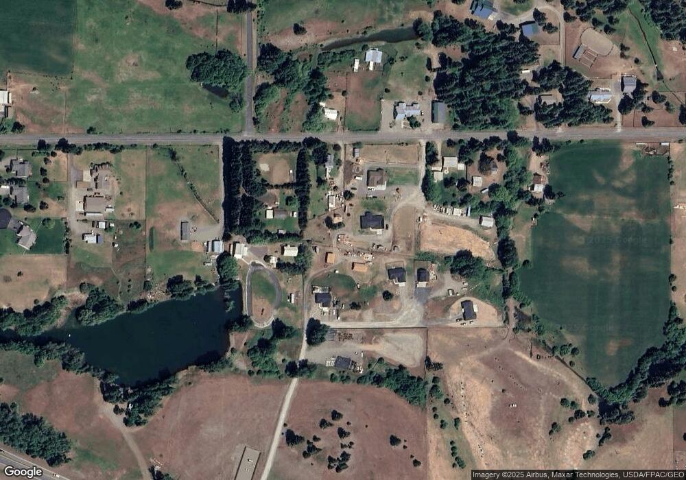
Map
Nearby Homes
- 1660 Airport Rd
- 0 xxx Washington 970
- 2431 Sr 970
- 741 McDonald Rd
- 2781 970
- 0 Owl Ridge Dr Unit NWM2428008
- 0 xxx Owl Ridge Dr
- 1450 Creekside Rd
- 0 XXX Game Trail Rd
- 2 Lot Game Trail Rd
- 3 Forest Ridge Dr
- 37 Forest Ridge Dr
- 422 Forest Ridge Dr
- 4081 Washington 970 Unit B4
- 4081 Washington 970 Unit B3
- 4081 Washington 970 Unit D7
- 4081 Washington 970 Unit A5
- 4081 Washington 970 Unit D10
- 4081 Washington 970 Unit A6
- 819 E 1st St