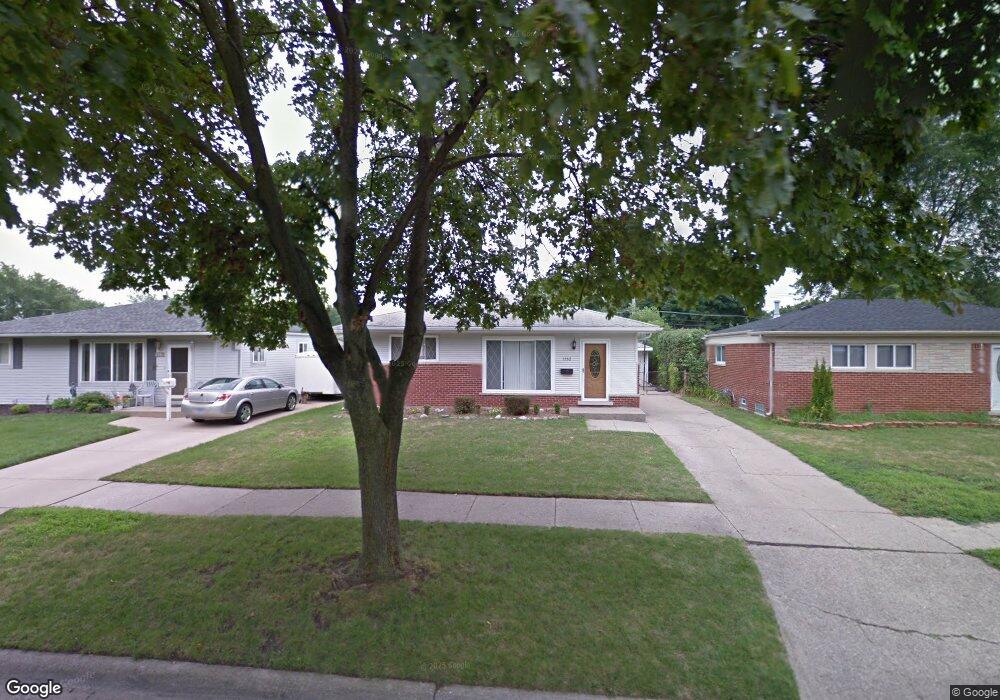
1562 Berkshire St Westland, MI 48186
Estimated Value: $185,000 - $229,000
3
Beds
2
Baths
1,000
Sq Ft
$204/Sq Ft
Est. Value
About This Home
This home is located at 1562 Berkshire St, Westland, MI 48186 and is currently estimated at $203,847, approximately $203 per square foot. 1562 Berkshire St is a home located in Wayne County with nearby schools including Eugene B. Elliott Elementary School, Adams Middle School, and Benjamin Franklin Middle School.
Ownership History
Date
Name
Owned For
Owner Type
Purchase Details
Closed on
Oct 4, 2024
Sold by
Moorer Sammie L
Bought by
Moorer Sammie L and Moorer Samantha
Current Estimated Value
Purchase Details
Closed on
Nov 9, 2009
Sold by
Moorer Samantha
Bought by
Moorer Sammie L
Purchase Details
Closed on
Apr 17, 2008
Sold by
White Lazandra
Bought by
Lasalle Bank Na and Structured Asset Investment Loan Trust S
Purchase Details
Closed on
Sep 9, 2004
Sold by
Gardner Sharon L
Bought by
White Lazandra
Create a Home Valuation Report for This Property
The Home Valuation Report is an in-depth analysis detailing your home's value as well as a comparison with similar homes in the area
Home Values in the Area
Average Home Value in this Area
Purchase History
| Date | Buyer | Sale Price | Title Company |
|---|---|---|---|
| Moorer Sammie L | -- | None Listed On Document | |
| Moorer Sammie L | -- | None Listed On Document | |
| Moorer Sammie L | -- | None Available | |
| Lasalle Bank Na | $53,826 | None Available | |
| White Lazandra | $128,500 | Multiple |
Source: Public Records
Tax History Compared to Growth
Tax History
| Year | Tax Paid | Tax Assessment Tax Assessment Total Assessment is a certain percentage of the fair market value that is determined by local assessors to be the total taxable value of land and additions on the property. | Land | Improvement |
|---|---|---|---|---|
| 2025 | $2,690 | $86,200 | $0 | $0 |
| 2024 | $2,690 | $82,100 | $0 | $0 |
| 2023 | $2,567 | $72,900 | $0 | $0 |
| 2022 | $2,842 | $65,800 | $0 | $0 |
| 2021 | $2,782 | $61,400 | $0 | $0 |
| 2020 | $2,751 | $53,900 | $0 | $0 |
| 2019 | $2,665 | $50,300 | $0 | $0 |
| 2018 | $2,169 | $43,700 | $0 | $0 |
| 2017 | $728 | $43,400 | $0 | $0 |
| 2016 | $2,582 | $43,500 | $0 | $0 |
| 2015 | $3,665 | $39,540 | $0 | $0 |
| 2013 | $3,555 | $37,110 | $0 | $0 |
| 2012 | $2,342 | $35,440 | $0 | $0 |
Source: Public Records
Map
Nearby Homes
- 30779 Middlebury St
- 30805 Parkwood St
- 1351 Mar Ann Dr
- 30270 Spring Arbor Dr
- 0 Henry Ruff Rd Unit 25008926
- 0 Henry Ruff Rd Unit 25008868
- 31820 Bay Ct
- 29956 Brooklane St
- 30129 Glenwood St
- 31842 Bay Ct
- 31784 Arenac Ct
- 29864 Brooklane St
- 30030 Glenwood St
- 29855 Brooklane St
- 1682 Beatrice St
- 31612 Antrim Ct
- 30033 Avondale St
- 30817 Birchwood Ave
- 31923 Calhoun Ct
- 1435 Jeffrey Ln
- 1570 Berkshire St
- 1554 Berkshire St
- 1582 Berkshire St
- 1631 Westchester St
- 1546 Berkshire St
- 1643 Westchester St
- 1619 Westchester St
- 1655 Westchester St
- 1596 Berkshire St
- 1538 Berkshire St
- 1565 Berkshire St
- 1557 Berkshire St
- 1607 Westchester St
- 1573 Berkshire St
- 1549 Berkshire St
- 1667 Westchester St
- 1634 Berkshire St
- 1585 Berkshire St
- 1530 Berkshire St
- 1585 Westchester St