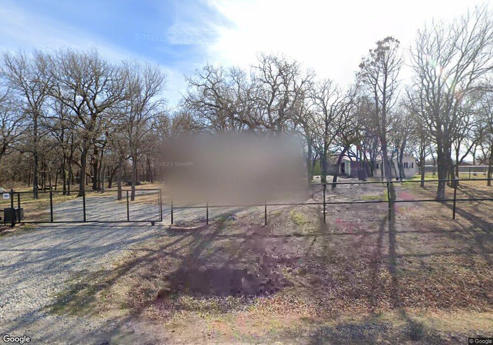
1562 Poe Prairie Rd Millsap, TX 76066
Estimated Value: $688,000
--
Bed
--
Bath
1,628
Sq Ft
$423/Sq Ft
Est. Value
About This Home
This home is located at 1562 Poe Prairie Rd, Millsap, TX 76066 and is currently estimated at $688,000, approximately $422 per square foot. 1562 Poe Prairie Rd is a home located in Parker County with nearby schools including Millsap Elementary School, Millsap Middle School, and Millsap High School.
Ownership History
Date
Name
Owned For
Owner Type
Purchase Details
Closed on
Feb 6, 2020
Sold by
Ward Alicia L and Bost Alicia
Bought by
Ward Alicia L and Ward Timothy
Current Estimated Value
Home Financials for this Owner
Home Financials are based on the most recent Mortgage that was taken out on this home.
Original Mortgage
$110,000
Outstanding Balance
$97,618
Interest Rate
3.72%
Mortgage Type
New Conventional
Estimated Equity
$590,382
Purchase Details
Closed on
Dec 20, 2011
Sold by
Bost Alicia
Bought by
Ward Alicia L
Home Financials for this Owner
Home Financials are based on the most recent Mortgage that was taken out on this home.
Original Mortgage
$93,000
Interest Rate
3.28%
Mortgage Type
New Conventional
Purchase Details
Closed on
Mar 7, 2003
Sold by
Strickland Lynn L and Strickland Saundra
Bought by
Ward Alicia L
Purchase Details
Closed on
May 30, 2001
Sold by
Cowan James E
Bought by
Ward Alicia L
Create a Home Valuation Report for This Property
The Home Valuation Report is an in-depth analysis detailing your home's value as well as a comparison with similar homes in the area
Home Values in the Area
Average Home Value in this Area
Purchase History
| Date | Buyer | Sale Price | Title Company |
|---|---|---|---|
| Ward Alicia L | -- | None Available | |
| Ward Alicia L | -- | -- | |
| Ward Alicia L | -- | First American Els | |
| Ward Alicia L | -- | -- | |
| Ward Alicia L | -- | -- |
Source: Public Records
Mortgage History
| Date | Status | Borrower | Loan Amount |
|---|---|---|---|
| Open | Ward Alicia L | $110,000 | |
| Previous Owner | Ward Alicia L | $93,000 |
Source: Public Records
Tax History Compared to Growth
Tax History
| Year | Tax Paid | Tax Assessment Tax Assessment Total Assessment is a certain percentage of the fair market value that is determined by local assessors to be the total taxable value of land and additions on the property. | Land | Improvement |
|---|---|---|---|---|
| 2025 | $1,486 | $239,250 | -- | -- |
| 2024 | $1,486 | $217,500 | $59,520 | $157,980 |
| 2023 | $1,486 | $200,260 | $0 | $0 |
| 2022 | $3,454 | $220,650 | $39,680 | $180,970 |
| 2021 | $3,444 | $220,650 | $39,680 | $180,970 |
| 2020 | $3,218 | $149,550 | $24,800 | $124,750 |
| 2019 | $3,450 | $149,550 | $24,800 | $124,750 |
| 2018 | $3,672 | $157,390 | $9,920 | $147,470 |
| 2017 | $3,724 | $157,390 | $9,920 | $147,470 |
| 2016 | $3,385 | $140,140 | $9,920 | $130,220 |
| 2015 | $2,925 | $140,140 | $9,920 | $130,220 |
| 2014 | $2,821 | $128,330 | $9,920 | $118,410 |
Source: Public Records
Map
Nearby Homes
- 251 Tumbleweed Ct
- 1350 Stephens Rd
- TBD Wolf Hollow
- 4962 S Fm 113
- 5288 Bennett Rd
- 6427 S Fm Rd 113
- 555 Sunset Trail
- 7530 W Interstate 20
- XXXX Wolf Hollow
- 3810 Fairview Rd
- 401 Brock Spur
- 181 Savannah Dr
- 169 Savannah Dr
- 2350 Grindstone Rd
- TBD Consolation
- Farm To Market 113
- 3200 Fairview Rd
- 101 Consolation Dr
- 2710 Fairview Rd
- 3499 S Fm 113
- 1588 Poe Prairie Rd
- 1530 Poe Prairie Rd
- 1561 Poe Prairie Rd
- 1600 Poe Prairie Rd
- 1662 Poe Prairie Rd
- 353 Cattail Trail
- 1502 Poe Prairie Rd
- 1668 Poe Prairie Rd
- 1674 Poe Prairie Rd
- TBD2 Lazy Bend Rd
- 125 Nightlinger Trail
- TBD Norman Cool Jct
- 0002 Fm 113 S
- TBD Norman Dr
- TBD Cool Jct
- 3 Tr W Bluff Ln
- TBD16 Rock Creek Ct
- TBD18 Rock Creek Ct
- TBD17 Rock Creek Ct
- TBD1 Rock Creek Ct