Estimated Value: $92,000 - $175,710
--
Bed
1
Bath
1,248
Sq Ft
$117/Sq Ft
Est. Value
About This Home
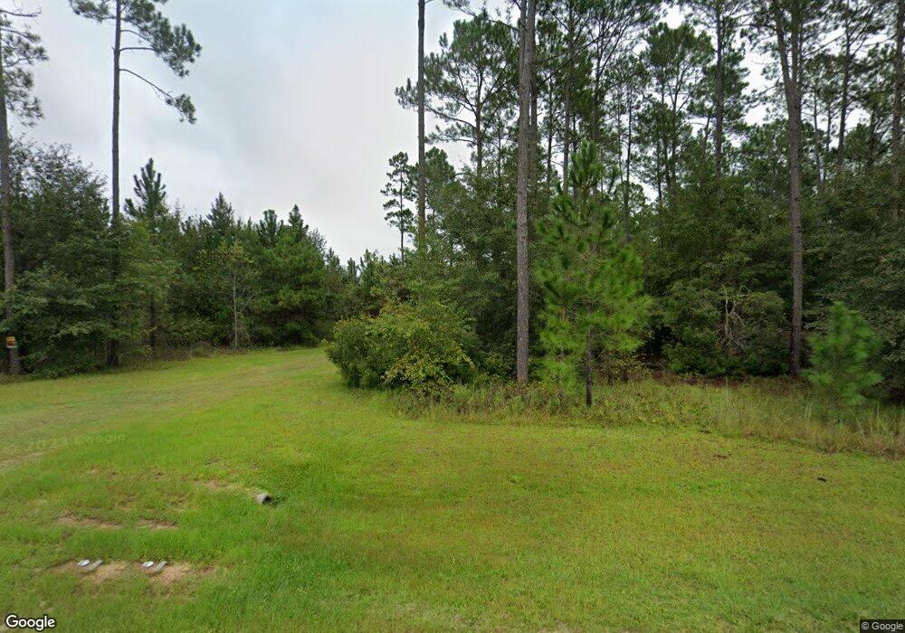
This home is located at 1562 Radio Station Rd, Alma, GA 31510 and is currently estimated at $146,428, approximately $117 per square foot. 1562 Radio Station Rd is a home located in Bacon County with nearby schools including Bacon County Primary School, Bacon County Elementary School, and Bacon County Middle School.
Ownership History
Date
Name
Owned For
Owner Type
Purchase Details
Closed on
Jan 16, 2013
Sold by
Swain Rose Smith
Bought by
Smith Rose
Current Estimated Value
Purchase Details
Closed on
Sep 28, 2002
Sold by
Smith Rose And
Bought by
Smith Rose
Purchase Details
Closed on
Oct 27, 1993
Bought by
Smith Rose And
Create a Home Valuation Report for This Property
The Home Valuation Report is an in-depth analysis detailing your home's value as well as a comparison with similar homes in the area
Home Values in the Area
Average Home Value in this Area
Purchase History
| Date | Buyer | Sale Price | Title Company |
|---|---|---|---|
| Smith Rose | -- | -- | |
| Smith Rose | -- | -- | |
| Smith Rose And | $51,000 | -- |
Source: Public Records
Tax History Compared to Growth
Tax History
| Year | Tax Paid | Tax Assessment Tax Assessment Total Assessment is a certain percentage of the fair market value that is determined by local assessors to be the total taxable value of land and additions on the property. | Land | Improvement |
|---|---|---|---|---|
| 2024 | $1,098 | $42,076 | $21,120 | $20,956 |
| 2023 | $759 | $40,436 | $21,120 | $19,316 |
| 2022 | $596 | $34,636 | $21,120 | $13,516 |
| 2021 | $538 | $32,716 | $21,120 | $11,596 |
| 2020 | $522 | $27,203 | $16,577 | $10,626 |
| 2019 | $518 | $27,203 | $16,577 | $10,626 |
| 2018 | $500 | $26,717 | $16,577 | $10,140 |
| 2017 | $767 | $26,717 | $16,577 | $10,140 |
| 2016 | $482 | $26,717 | $16,577 | $10,140 |
Source: Public Records
Map
Nearby Homes
- TBD Cartertown Rd
- TBD Cartertown Rd
- Lot 8 Cartertown Rd
- Lot 5 Cartertown Rd
- Lot 6 Cartertown Rd
- Lot 4 Cartertown Rd
- Lot 7 Cartertown Rd
- 0 Jasmine Ln
- 1348 U S 1
- 301 Taylor Rd
- 00 Sweat Rd
- 403 S Ware St
- 9TH E 417
- 122 Grace Loop Unit 1
- 118 Grace Loop Unit 1
- 117 Grace Loop Unit 1
- 245 Starling Rd
- 314 W 16th St
- 0 E 6th St Unit 114222
- 113 Brite Blue Dr
- 1659 Radio Station Rd
- 1707 Radio Station Rd
- 1521 Radio Station Rd
- 1479 Radio Station Rd
- 1440 Radio Station Rd
- 406 Elizabeth Chapel Rd
- 372 Elizabeth Chapel Rd
- 1752 Radio Station Rd
- 1487 Radio Station Rd
- 180 Radio Station Rd
- 1433 Radio Station Rd
- 356 Elizabeth Chapel Rd
- 150 Varnedore Ln
- 1419 Radio Station Rd
- 1409 Radio Station Rd