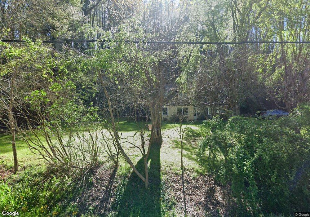
1562 S Main St Mars Hill, NC 28754
Estimated Value: $264,000 - $418,000
--
Bed
--
Bath
1,364
Sq Ft
$263/Sq Ft
Est. Value
About This Home
This home is located at 1562 S Main St, Mars Hill, NC 28754 and is currently estimated at $358,667, approximately $262 per square foot. 1562 S Main St is a home located in Madison County with nearby schools including Madison Middle School.
Ownership History
Date
Name
Owned For
Owner Type
Purchase Details
Closed on
Oct 26, 2010
Sold by
West Albert Marion and West Linda Diane
Bought by
West Charles Rickey and West Vickie
Current Estimated Value
Home Financials for this Owner
Home Financials are based on the most recent Mortgage that was taken out on this home.
Original Mortgage
$77,000
Outstanding Balance
$51,062
Interest Rate
4.37%
Mortgage Type
New Conventional
Estimated Equity
$307,605
Create a Home Valuation Report for This Property
The Home Valuation Report is an in-depth analysis detailing your home's value as well as a comparison with similar homes in the area
Home Values in the Area
Average Home Value in this Area
Purchase History
| Date | Buyer | Sale Price | Title Company |
|---|---|---|---|
| West Charles Rickey | $60,000 | -- |
Source: Public Records
Mortgage History
| Date | Status | Borrower | Loan Amount |
|---|---|---|---|
| Open | West Charles Rickey | $77,000 |
Source: Public Records
Tax History Compared to Growth
Tax History
| Year | Tax Paid | Tax Assessment Tax Assessment Total Assessment is a certain percentage of the fair market value that is determined by local assessors to be the total taxable value of land and additions on the property. | Land | Improvement |
|---|---|---|---|---|
| 2024 | $736 | $123,620 | $43,700 | $79,920 |
| 2023 | $615 | $73,698 | $25,300 | $48,398 |
| 2022 | $615 | $73,698 | $25,300 | $48,398 |
| 2021 | $615 | $73,698 | $25,300 | $48,398 |
| 2020 | $615 | $73,698 | $25,300 | $48,398 |
| 2019 | $511 | $54,836 | $23,000 | $31,836 |
| 2018 | $335 | $0 | $0 | $0 |
| 2017 | $335 | $0 | $0 | $0 |
| 2016 | $335 | $0 | $0 | $0 |
| 2015 | -- | $0 | $0 | $0 |
| 2014 | -- | $54,836 | $23,000 | $31,836 |
| 2013 | -- | $54,836 | $23,000 | $31,836 |
Source: Public Records
Map
Nearby Homes
- 152 Woods Ammons Rd
- 16 Sunny Ln
- 181 Flint Morgan Rd
- 360 Turkey Branch Rd
- 1475 Crossroads Pkwy
- 1387 Woods Ammons Rd
- 244 Country Dr
- 224 Country Dr
- Lot 15 Mountain Gait Dr
- 96 Chestnut Ln Unit 96
- 297 Bethany Dr
- 63 Ivy Meadows Dr Unit 21
- 00 Old Burnsville Rd
- 1672 Crossroads Pkwy
- 125 Ivy Meadows Dr
- 9999 Settlers Trail Unit 52
- 9999 Settlers Trail Unit 51
- 9999 Settlers Trail Unit 49
- 9999 Settlers Trail Unit 48
- 9999 Settlers Trail Unit 46
- 219 Mt Olive Dr
- 1537 S Main St
- 1480 S Main St
- 1480 S Main St
- 172 Mt Olive Dr
- 122 Mt Olive Dr
- 94 Mount Olive Dr
- 45 Mount Olive Dr
- 11 Mount Olive Church Rd
- 35 Mount Olive Dr
- 73 Long Ridge Rd
- 1395 S Main St
- 1395 S Main St
- 1395 S Main St
- 25 Mount Olive Dr
- 113 Long Ridge Rd
- 85 Long Ridge Rd
- 149 Long Ridge Rd
- 101 Long Ridge Rd
- ### Long Ridge Rd