15620 12th St Kenosha, WI 53144
Estimated Value: $669,000 - $873,000
3
Beds
3
Baths
3,252
Sq Ft
$235/Sq Ft
Est. Value
About This Home
This home is located at 15620 12th St, Kenosha, WI 53144 and is currently estimated at $763,008, approximately $234 per square foot. 15620 12th St is a home located in Kenosha County with nearby schools including Paris Elementary School, Central High School, and All Saints Catholic School, West Campus.
Ownership History
Date
Name
Owned For
Owner Type
Purchase Details
Closed on
Sep 29, 2020
Sold by
Schaefer Sheri L and Schaefer Debra J
Bought by
Sorensen Jay R and Sorensen Lisa M
Current Estimated Value
Purchase Details
Closed on
Apr 14, 2008
Sold by
Schaefer Franklin G and Schaefer Ardis J
Bought by
Schaefer Debra J
Create a Home Valuation Report for This Property
The Home Valuation Report is an in-depth analysis detailing your home's value as well as a comparison with similar homes in the area
Home Values in the Area
Average Home Value in this Area
Purchase History
| Date | Buyer | Sale Price | Title Company |
|---|---|---|---|
| Sorensen Jay R | $600,000 | None Available | |
| Schaefer Debra J | $523,000 | -- |
Source: Public Records
Tax History Compared to Growth
Tax History
| Year | Tax Paid | Tax Assessment Tax Assessment Total Assessment is a certain percentage of the fair market value that is determined by local assessors to be the total taxable value of land and additions on the property. | Land | Improvement |
|---|---|---|---|---|
| 2024 | $3,249 | $586,000 | $150,700 | $435,300 |
| 2023 | $3,480 | $586,000 | $150,700 | $435,300 |
| 2022 | $3,847 | $586,000 | $150,700 | $435,300 |
| 2021 | $4,330 | $577,400 | $150,700 | $426,700 |
| 2020 | $4,017 | $577,400 | $150,700 | $426,700 |
| 2019 | $4,286 | $442,000 | $130,300 | $311,700 |
| 2018 | $3,897 | $442,000 | $130,300 | $311,700 |
| 2017 | $5,385 | $442,000 | $130,300 | $311,700 |
| 2016 | $6,207 | $442,000 | $130,300 | $311,700 |
| 2015 | $5,560 | $440,000 | $128,300 | $311,700 |
| 2014 | -- | $440,000 | $128,300 | $311,700 |
Source: Public Records
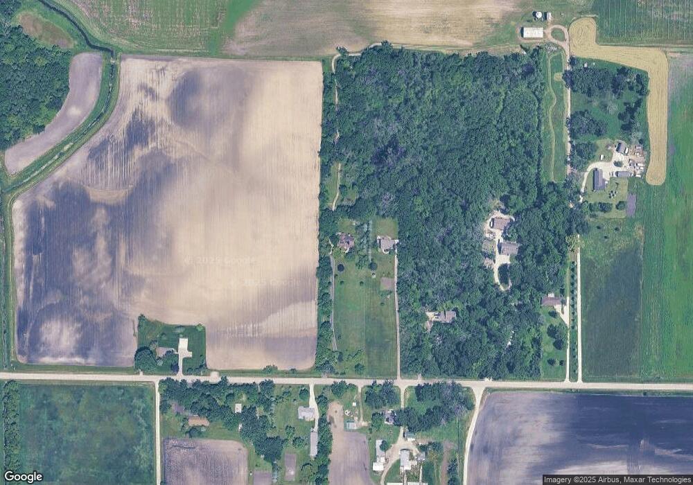
Map
Nearby Homes
- 32.85 M/L Acres 12th St
- 1520 136th Ave
- 1604 136th Ave
- Lt0 136th Ave
- 15910 County Line Rd
- 12901 Burlington Rd
- 1735 120th Ave
- 1914 120th Ave
- 12214 Burlington Rd
- Lt0 57th Ave
- 11515 Burlington Rd
- 15941 Durand Ave Unit 63C
- 15941 Durand Ave Unit 25B
- 1226 100th Ave
- 1459 Groves Ln Unit 40
- Lt0 100th Ave
- 1290 US Highway 41
- 9719 12th Place
- Lt1 12th St
- Lt0 12th St
- 15603 12th St
- 15510 12th St
- 15420 12th St
- 15710 12th St
- 15318 12th St
- 15712 12th St
- 15208 12th St
- 15815 12th St
- 15509 12th St
- 14855 12th St
- 15601 7th St
- 14625 12th St
- 16120 Burlington Rd
- Lt0 12th St
- VL 12th St
- 16611 12th St Unit 16611
- 16611 12th St Unit 16611
- 15509 7th St
- 14203 12th St
- 14120 12th St