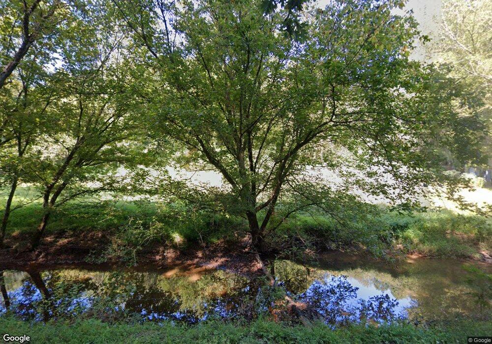
1563 Arnolds Creek Rd West Union, WV 26456
Estimated Value: $185,000
3
Beds
2
Baths
--
Sq Ft
49
Acres
About This Home
This home is located at 1563 Arnolds Creek Rd, West Union, WV 26456 and is currently estimated at $185,000. 1563 Arnolds Creek Rd is a home located in Doddridge County with nearby schools including Doddridge County Elementary School, Doddridge County Middle School, and Doddridge County High School.
Ownership History
Date
Name
Owned For
Owner Type
Purchase Details
Closed on
Aug 10, 2023
Sold by
Bee John William
Bought by
Smith Brack E
Current Estimated Value
Purchase Details
Closed on
Jun 30, 2023
Sold by
R & M Trust
Bought by
Koontz Dale S
Purchase Details
Closed on
Jul 1, 2022
Sold by
Recon Royalties and Recon Resources Llc
Bought by
Pieria Holdings Llc
Purchase Details
Closed on
Jun 14, 2022
Sold by
Moffatt Edward
Bought by
Antero Minerals Llc
Purchase Details
Closed on
Aug 25, 2021
Sold by
Antero Resources Corporation
Bought by
Antero Minerals Llc
Purchase Details
Closed on
Feb 19, 2016
Sold by
Davisson Benjamin G
Bought by
Bee John William
Purchase Details
Closed on
Nov 6, 2008
Sold by
Bee Samuel Noal
Bought by
Bee John Wayne
Create a Home Valuation Report for This Property
The Home Valuation Report is an in-depth analysis detailing your home's value as well as a comparison with similar homes in the area
Home Values in the Area
Average Home Value in this Area
Purchase History
| Date | Buyer | Sale Price | Title Company |
|---|---|---|---|
| Smith Brack E | $256,002 | None Listed On Document | |
| Smith Brack E | $256,002 | None Listed On Document | |
| Koontz Dale S | -- | None Listed On Document | |
| Koontz Gary K | -- | None Listed On Document | |
| Pieria Holdings Llc | -- | None Listed On Document | |
| Pieria Holdings Llc | -- | None Listed On Document | |
| Antero Minerals Llc | $500 | None Listed On Document | |
| Antero Minerals Llc | $500 | None Listed On Document | |
| Antero Minerals Llc | -- | None Listed On Document | |
| Bee John William | -- | Attorney | |
| Bee John Wayne | -- | -- |
Source: Public Records
Tax History Compared to Growth
Tax History
| Year | Tax Paid | Tax Assessment Tax Assessment Total Assessment is a certain percentage of the fair market value that is determined by local assessors to be the total taxable value of land and additions on the property. | Land | Improvement |
|---|---|---|---|---|
| 2024 | $63 | $5,460 | $4,860 | $600 |
| 2023 | $46 | $3,960 | $3,360 | $600 |
| 2022 | $47 | $3,960 | $3,360 | $600 |
| 2021 | $47 | $3,960 | $3,360 | $600 |
| 2020 | $46 | $3,960 | $3,360 | $600 |
| 2019 | $4 | $3,780 | $3,180 | $600 |
| 2018 | $44 | $3,660 | $3,060 | $600 |
| 2017 | $56 | $4,620 | $4,020 | $600 |
| 2016 | $41 | $4,020 | $2,820 | $1,200 |
| 2015 | $65 | $6,660 | $4,020 | $2,640 |
| 2014 | $66 | $5,340 | $4,020 | $1,320 |
Source: Public Records
Map
Nearby Homes
- 856 Arnolds Creek Rd
- 46 Grand Ave
- 50 Wine Ln
- 650 Sam Cavins Rd
- 102 Sutton Ave
- 1638 Crystal Lake Rd
- 135 Cedar Ln
- 457 Cedar Ln
- 66 Cedar Ln
- 3021 Rock Run Rd
- 708 E Penn Ave
- 302 E Myles Ave
- 206 E Myles Ave
- 705 Main St
- 117 Mockingbird Hill Ln
- 697 Haddox Run Rd
- 180 Ross Run
- 52 Corbin Alley
- 0 04-3-00110001 Unit 5153725
- 0 Brush Run Rd Unit 11575532
