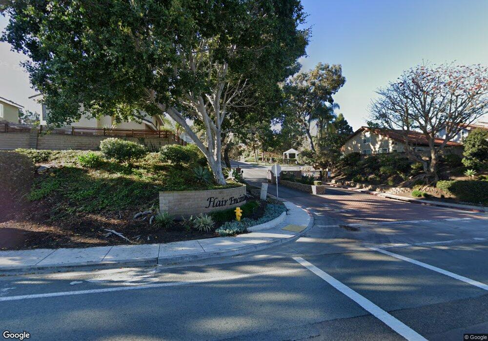
1563 Flair Encinitas Dr Encinitas, CA 92024
Central Encinitas NeighborhoodEstimated Value: $1,386,000 - $1,562,000
3
Beds
3
Baths
1,567
Sq Ft
$949/Sq Ft
Est. Value
About This Home
This home is located at 1563 Flair Encinitas Dr, Encinitas, CA 92024 and is currently estimated at $1,487,587, approximately $949 per square foot. 1563 Flair Encinitas Dr is a home located in San Diego County with nearby schools including Flora Vista Elementary, Diegueno Middle School, and La Costa Canyon High School.
Ownership History
Date
Name
Owned For
Owner Type
Purchase Details
Closed on
May 7, 2007
Sold by
Foot Benjamin D
Bought by
Nelson Wesley and Nelson Christine
Current Estimated Value
Home Financials for this Owner
Home Financials are based on the most recent Mortgage that was taken out on this home.
Original Mortgage
$90,000
Outstanding Balance
$55,840
Interest Rate
6.36%
Mortgage Type
Credit Line Revolving
Estimated Equity
$1,431,747
Purchase Details
Closed on
Oct 5, 1989
Purchase Details
Closed on
May 16, 1985
Create a Home Valuation Report for This Property
The Home Valuation Report is an in-depth analysis detailing your home's value as well as a comparison with similar homes in the area
Home Values in the Area
Average Home Value in this Area
Purchase History
We collect this data history from publicly available records. To have your information removed, we recommend requesting removal directly through your county’s website.
| Date | Buyer | Sale Price | Title Company |
|---|---|---|---|
| Nelson Wesley | $600,000 | California Title Company | |
| -- | $229,900 | -- | |
| -- | $138,900 | -- |
Source: Public Records
Mortgage History
We collect this data history from publicly available records. To have your information removed, we recommend requesting removal directly through your county’s website.
| Date | Status | Borrower | Loan Amount |
|---|---|---|---|
| Open | Nelson Wesley | $90,000 | |
| Previous Owner | Nelson Wesley | $480,000 |
Source: Public Records
Tax History
| Year | Tax Paid | Tax Assessment Tax Assessment Total Assessment is a certain percentage of the fair market value that is determined by local assessors to be the total taxable value of land and additions on the property. | Land | Improvement |
|---|---|---|---|---|
| 2025 | $8,868 | $803,830 | $562,684 | $241,146 |
| 2024 | $8,868 | $788,069 | $551,651 | $236,418 |
| 2023 | $8,617 | $772,618 | $540,835 | $231,783 |
| 2022 | $8,411 | $757,470 | $530,231 | $227,239 |
| 2021 | $8,271 | $742,619 | $519,835 | $222,784 |
| 2020 | $8,138 | $735,005 | $514,505 | $220,500 |
| 2019 | $7,975 | $720,594 | $504,417 | $216,177 |
| 2018 | $7,822 | $706,466 | $494,527 | $211,939 |
| 2017 | $192 | $692,615 | $484,831 | $207,784 |
| 2016 | $7,142 | $650,000 | $455,000 | $195,000 |
| 2015 | $6,907 | $630,000 | $441,000 | $189,000 |
| 2014 | $5,832 | $530,000 | $371,000 | $159,000 |
Source: Public Records
Map
Nearby Homes
- 1510 Tennis Match Way
- 1652 Clearwater Place
- 1519 Valleda Ln
- 1744 Village Run N
- 1759 Edgefield Ln
- 1774 Edgefield Ln Unit 42
- 1766 Hill Top Ln
- 1133 & 1135 Gardena Rd
- 1104 & 1106 Gardena Rd
- 772 Conestoga Ct
- 3736 38 Via Rancho Michelle
- 250 258 Hillcrest Dr
- 246 Via Tavira
- 355 Via Montanosa
- 1609 Honeysuckle Ct
- 1971 Azure Way
- 350 N El Camino Real Unit 78s
- 350 N El Camino Real Unit 72
- 350 N El Camino Real Unit 26
- 350 N El Camino Real Unit 41
- 1605 Tennis Match Way
- 1607 Tennis Match Way
- 1652 Shadow Mountain Dr
- 1617 Tennis Match Way
- 1623 Tennis Match Way
- 1606 Tennis Match Way
- 1555 Flair Encinitas Dr
- 1670 Shadow Mountain Dr
- 1612 Tennis Match Way
- 1590 Tennis Match Way
- 1627 Tennis Match Way
- 1551 Flair Encinitas Dr
- 1618 Tennis Match Way
- 1566 Flair Encinitas Dr
- 1706 Shadow Mountain Dr
- 1580 Tennis Match Way
- 1560 Flair Encinitas Dr
- 1624 Tennis Match Way
- 1541 Flair Encinitas Dr
- 1570 Tennis Match Way
Your Personal Tour Guide
Ask me questions while you tour the home.